

Chilao Campgrounds
Campground
1.8 mi from the trail
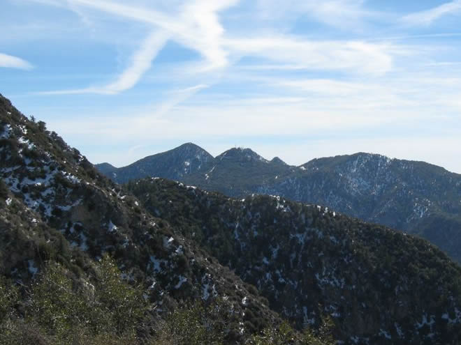
Vetter Mountain is a summit of 5,907 feet in the San Gabriel Mountains National Monument Ranger District of Angeles National Forest in California, about 9 miles from the town of Sierra Madre. The Forest Service manages the surrounding land. For the most comfortable conditions, aim for late spring or early fall. Typical averages from a nearby weather station show May highs around 70°F with lows near 48°F, and October highs around 72°F with lows near 51°F. Summer runs warmer, with July and August highs in the mid-80s. The Vetter Mountain Trail starts less than a mile away, and the Silver Moccasin Trail and Wolf Tree Interpretive Trail are each about 0.8 miles off. Chilao Campgrounds, roughly 1.8 miles away, offers a place to stay.
Where it is: San Gabriel Mountains National Monument Ranger District · Angeles National Forest
Near: Los Angeles
Best months: Year-round. Best months have typical highs of 55–85 °F, lows of 30 °F or warmer (32 °F where the station doesn't record snow), at most one snowy day and no more than 12 wet days.
Jan
56°
38°
7 wet
Feb
55°
37°
8 wet
Mar
59°
39°
7 wet
Apr
63°
42°
4 wet
May
70°
48°
3 wet
Jun
79°
58°
1 wet
Jul
84°
64°
1 wet
Aug
85°
64°
1 wet
Sep
81°
59°
1 wet
Oct
72°
51°
3 wet
Nov
63°
43°
4 wet
Dec
55°
37°
7 wet
Typical high / low (°F) and days with rain or snow, 1991–2020. Measured at Mt Wilson Cbs, CA, 5.2 mi away at 5,710 ft. This station doesn't record snowfall. Source: NOAA NCEI U.S. Climate Normals 1991–2020.
Been here? Tell people how it was.


 West Fork San Gabriel RiverCanoeingPhoto: Eeekster, CC BY 3.0 (via Wikimedia Commons)5.1 mi
 Strawberry PeakSummitPhoto: Justin, CC BY-SA 2.0 (via Wikimedia Commons)~9 min driveSan Gabriel PeakSummitPhoto: Justin.Johnsen, CC BY 3.0 (via Wikimedia Commons)~9 min driveMount DisappointmentSummitPhoto: Justin, CC BY-SA 2.0 (via Wikimedia Commons)~10 min drive
 Mount LoweSummitPhoto: The original uploader was Magi Media at English Wikipedia., CC BY-SA 3.0 (via Wikimedia Commons)~11 min drive
 Mount IslipSummitPhoto: Eeekster, CC BY 3.0 (via Wikimedia Commons)~19 min drive
 Mount LukensSummitPhoto: Doc Searls from Santa Barbara, USA, CC BY 2.0 (via Wikimedia Commons)~21 min drive
 Iron MountainSummitPhoto: Self, CC BY 3.0 (via Wikimedia Commons)~31 min drive
 Mount LeeSummitPhoto: Downtowngal, CC BY-SA 3.0 (via Wikimedia Commons)~35 min drive
 Cahuenga PeakSummitPhoto: Junkyardsparkle, CC0 (via Wikimedia Commons)~35 min drive
 Workman HillSummitPhoto: Sergei Gussev, CC BY 2.0 (via Wikimedia Commons)~36 min drive
Daily highs and lows, wind and the chance of precipitation at the summit and route start for the next 7 days, from the Open-Meteo model.
5,907 ft (1,800 m).
One: Vetter Mountain Trail.
Questions about Vetter Mountain: conditions, access, timing. Answers say when something isn't known.
Chilao Campgrounds
Campground
 If it rainsBoothsift, CC BY-SA 4.0 · Wikimedia Commons
Places © OpenStreetMap contributors · Photos: Boothsift, CC BY-SA 4.0 (commons)
More in Acton