
Pine Marten Run
Michigan
Free — you'll pick up right here.
37.2 mi
Distance
1,560 ft
Gain
12h 59m
Time
No verdict for this trail
We won't guess. Here is exactly what we do and don't know.
What we do know
Inside Hiawatha National Forest
2 managing-area boundaries mapped — agency alerts for them feed this page automatically.
Boundary data
What's missing
No access route mapped
We don't yet know which road reaches this trailhead, so we can't tell you if it's gated.
Nobody's filed a report here yet — be the first.
Why you'll love it
Here's your day, mapped
Pine Marten Run
Suggested plan · check conditions before you go
Meals
Gear for the day
Elevation & route
- Distance
- 37.2 mi
- Elevation gain
- 1,560 ft
- Elevation loss
- 1,560 ft
- Highest point
- 832 ft
- Lowest point
- 738 ft
Photos
Directions & GPX
Permits & access
- Managing agency
- Forest Service
- Bikes
- Allowed
- Horses
- Allowed
- Surface
- Natural
- Accessibility
- Not an accessible trail (Forest Service accessibility status)
Source for bikes, horses, surface, accessibility: USDA Forest Service National Forest System Trails (EDW)
About this trail
Pine Marten Run is a challenging 37.17-mile out-and-back trail in Michigan that tests endurance and wilderness navigation skills. This remote backcountry route traverses diverse terrain through northern Michigan's forests, offering solitude and immersion in the region's natural landscape. The out-and-back format allows hikers to turn back at any point while exploring one of Michigan's more demanding trail experiences.
Facts about this trail
The climb
- High point
- 832 ft
- Steepest stretch
- 8% grade around mile 6.4 on the way out
- Length (round trip)
- 37 mi
- Shape
- Out and back
Source: Roamze elevation profile and trail geometry (DEM samples along the mapped route)
Where it is
- Manistique Ranger District · Ranger district
- Hiawatha National Forest · National forest
Source: USFS EDW boundaries
Conditions
Active alerts for Hiawatha National Forest as of Oct 9, 2026:
Restricting Public Entry to Stonington Quarry
caution · posted Oct 8, 2026
critical · posted Oct 8, 2026
Restrictions on the use of fireworks
information · posted Aug 24, 2026
Firewood Restrictions on the Hiawatha and Ottawa National Forests
information · posted Aug 24, 2026
Drug and Alcohol Use on the Hiawatha National Forest
information · posted Aug 24, 2026
Restrictions on entry to any beach posted closed
information · posted Aug 24, 2026
Occupancy and use of Lake Superior Shoreline
information · posted Aug 24, 2026
Occupancy and use of Big Island Lake Wilderness
information · posted Aug 24, 2026
information · posted Aug 24, 2026
Restricting the use of Raco Airfield
information · posted Aug 24, 2026
Source: USFS forest alerts
Nearby
- Swan Lake Camping AreaCamping1.3 mi
- Swan Lake CampsitesPier fishing1.6 mi
- Cookson Lake CampsitesCamping1.7 mi
- Indian River Four Pond Camping AreaCamping1.9 mi
- Lake Nineteen CampsitePier fishing2.3 mi
- Mowe Lake CampsitesPier fishing2.6 mi
- Bil - Neds Lake PortageHiking3.7 mi
- 440 TRAILHEADHiking3.9 mi
Source: Roamze catalog (indexable pages within 10 miles, PostGIS distance)
Add to a trip & share
Keep exploring — more trails worth the drive
 Photo: usfs_Eastern_Region, Public Domain Mark (via Flickr)
Brunos Run
~7 min drive
12.81-mile loop in Michigan with 904 ft elevation gain.
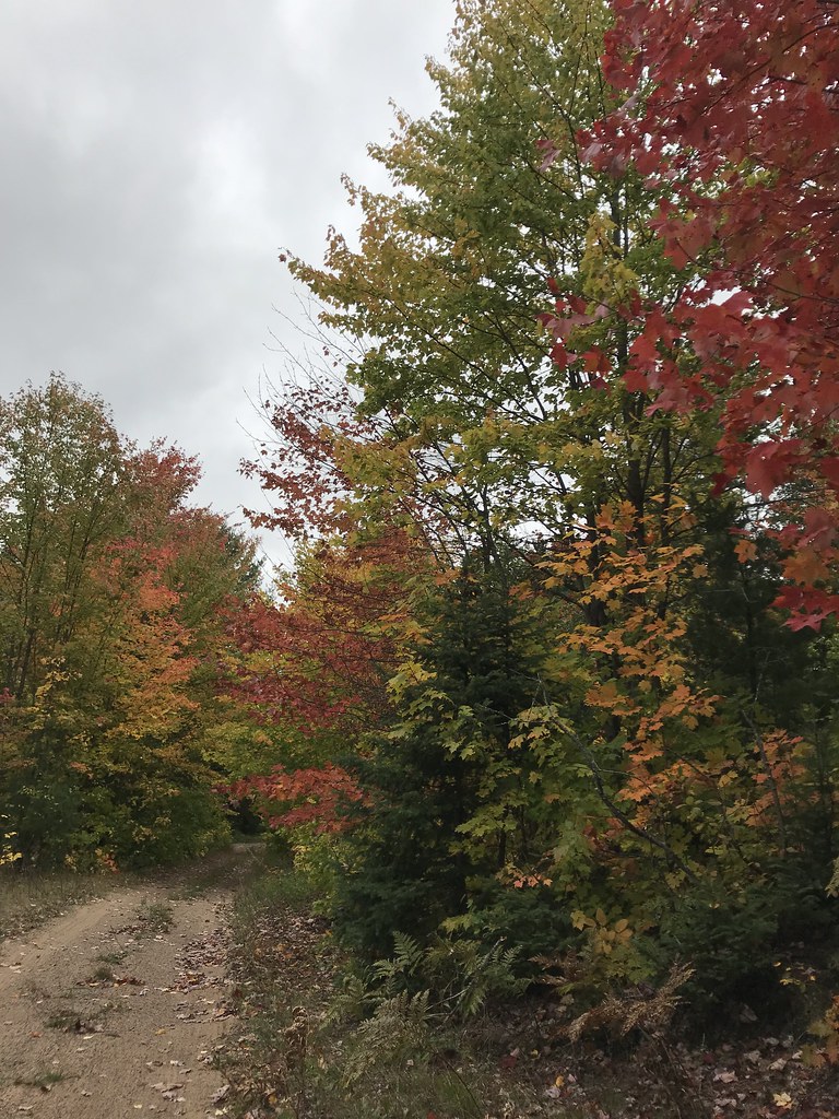 Photo: usfs_Eastern_Region, Public Domain Mark (via Flickr)
Coalwood Grade ATV
~22 min drive
7.77-mile out-and-back trail in Michigan with 198 ft elevation gain.
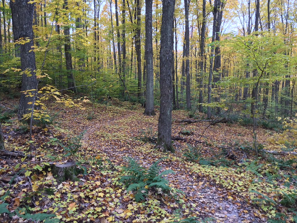 Photo: usfs_Eastern_Region, Public Domain Mark (via Flickr)
VALLEY SPUR SKI LOOP W
~23 min drive
2.13-mile loop in Michigan with 164 ft elevation gain
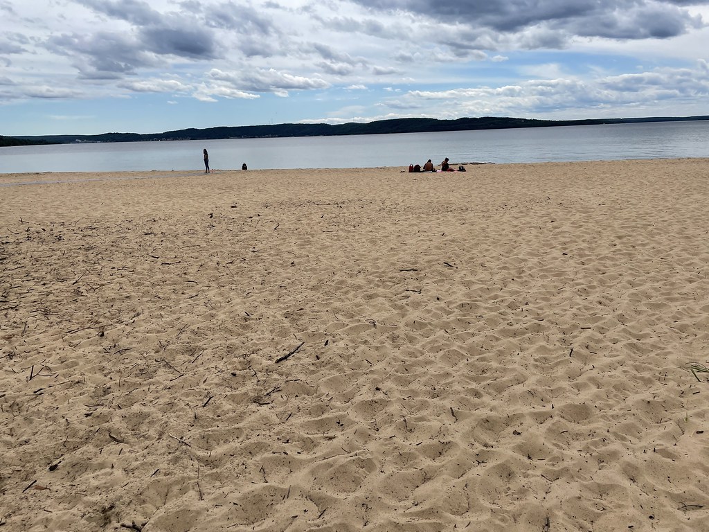 Photo: clembore, CC BY-SA 2.0 (via Flickr)
Sand Point Marsh Trail
~32 min drive
0.88-mile out-and-back trail in Michigan managed by the National Park Service.
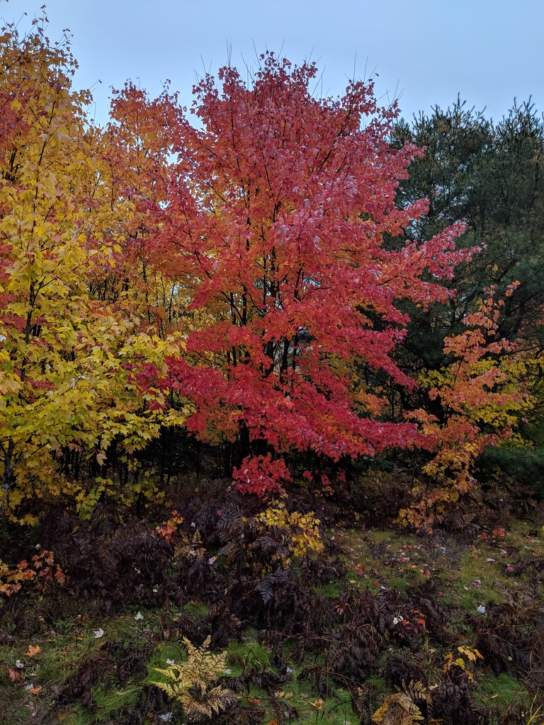 Photo: usfs_Eastern_Region, Public Domain Mark (via Flickr)
Valley Spur-Hemlock Valley
~23 min drive
10.39-mile out-and-back trail in Michigan with 386 ft elevation gain.
Photo: usfs_Eastern_Region, Public Domain Mark (via Flickr)VALLEY SPUR SKI LOOP Y
~23 min drive
5.92-mile out-and-back ski trail in Michigan with 326 ft elevation gain
 Photo: usfs_Eastern_Region, Public Domain Mark (via Flickr)
Valley Spur-Cedar Streak
~24 min drive
0.96-mile out-and-back trail in Michigan with 33 ft elevation gain.
Photo: clembore, CC BY-SA 2.0 (via Flickr)Sand Point NCT Connector Trail
~32 min drive
1.5-mile out-and-back trail in Michigan with 132 ft of elevation gain.
 Photo: LadyDragonflyCC - >;<, CC BY 2.0 (via Flickr)
Lyme Timber
~25 min drive
17.72-mile out-and-back trail in Michigan with 1,609 ft gain
 Photo: Joe Passe, CC BY-SA 2.0 (via Flickr)
Autrain Songbird Interp
~32 min drive
4.07-mile loop trail in Michigan with 309 ft elevation gain.
