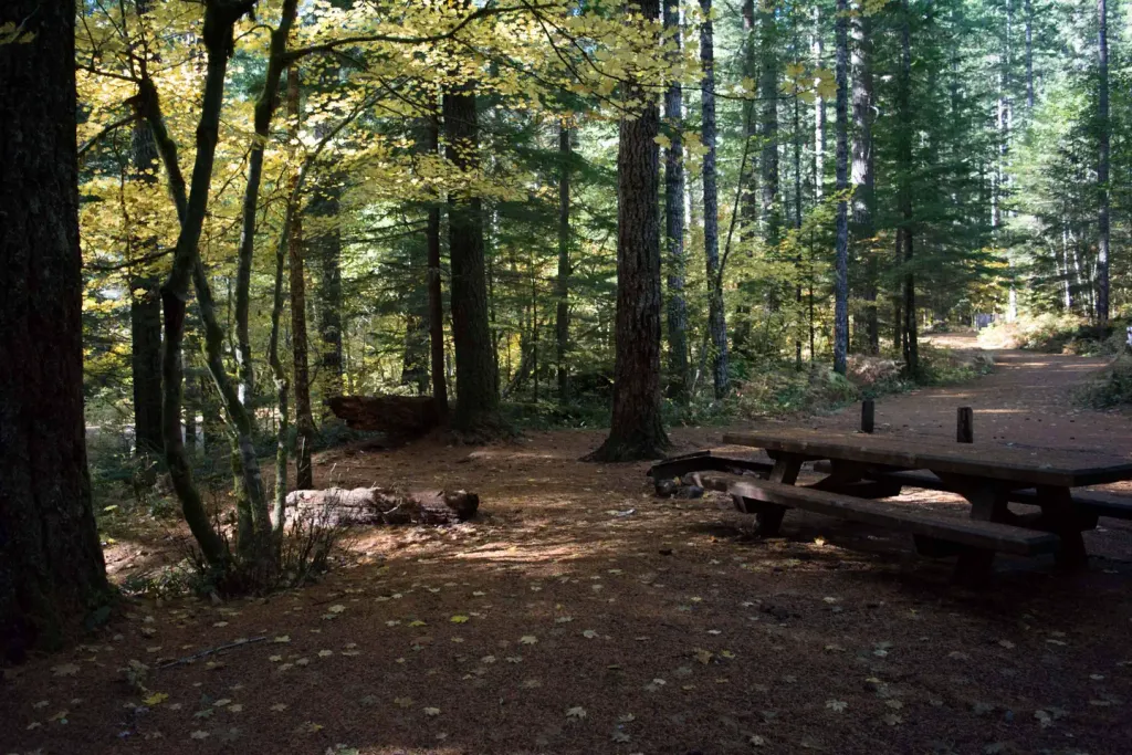
Quartz Creek Camping Area
Campground
< 0.1 mi from the trail
Quartz Creek is a 19.2-mile out-and-back hike in Washington's Mount St. Helens National Volcanic Monument, part of the Gifford Pinchot National Forest and managed by the Forest Service. The trail links into the Bald Eagle Mountain Trail 650 system, making it an anchor for exploring the broader backcountry network. The hike climbs steadily from about 1,800 feet to a high point of 4,272 feet, with a total round-trip gain of 5,499 feet. The route is rated hard, and the steepest stretch comes at mile 6.6, where the grade reaches 30%. The trail is not accessible, and its natural surface makes it a serious undertaking for anyone planning a full day on foot. For shorter outings in the area, Middle Falls is about 1.3 miles away and Alec Creek Trail about 1.8 miles away. Lower Falls Campground offers a place to stay within 2.3 miles, and the Lewis River is roughly 4.5 miles off for paddlers.
Where it is: Mount St. Helens National Volcanic Monument · Gifford Pinchot National Forest
Near: Packwood
Been here? Tell people how it was.
 Middle FallsHikingPhoto: U.S. Forest Service- Pacific Northwest Region, Public domain (via Wikimedia Commons)1.3 mi
 Lower Falls CampgroundCampingPhoto: Recreation.gov (RIDB) / public domain2.3 miLower Falls Horse BypassHikingPhoto: U.S. Forest Service- Pacific Northwest Region, Public domain (via Wikimedia Commons)2.5 mi
 Lewis RiverCanoeingPhoto: pfly, CC BY-SA 2.0 (via Wikimedia Commons)4.5 miMiddle FallsHikingPhoto: U.S. Forest Service- Pacific Northwest Region, Public domain (via Wikimedia Commons)~2 min driveBluffHikingPhoto: U.S. Forest Service- Pacific Northwest Region, Public domain (via Wikimedia Commons)~6 min driveLower Falls Horse BypassHikingPhoto: U.S. Forest Service- Pacific Northwest Region, Public domain (via Wikimedia Commons)~4 min drive
Daily highs and lows, wind and the chance of precipitation at Start for the next 7 days, from the Open-Meteo model.
Questions about Quartz Creek: conditions, access, timing. Answers say when something isn't known.
Quartz Creek Camping Area
Campground
Trout Lake Hall
Restaurant
Places © OpenStreetMap contributors
More in Trout LakeNot on Roamze yet. Their page has how to reach them.
