Hitchiti Loop Trail
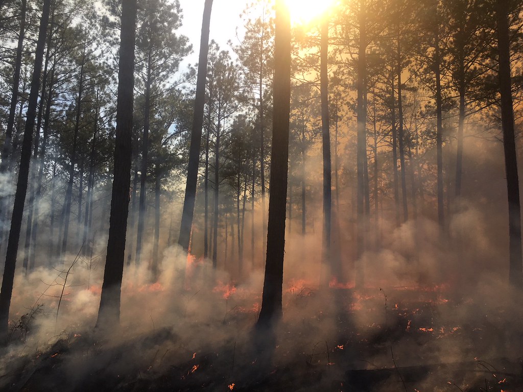 Photo: ChattOconeeNF, Public Domain Mark (via Flickr)
At a glance
Hitchiti Loop Trail is an easy 1.7-mile out-and-back hike in the Oconee Ranger District of the Chattahoochee-Oconee National Forests in Georgia. The trail is managed by the Forest Service and runs on natural surface, with biking allowed. It rises from a low point of about 343 feet to a high of about 429 feet, with a rolling climb and a steepest grade of about 6% at around 0.47 miles in. Spring and fall are the most comfortable times to go. Typical averages from a nearby weather station in Monticello put October highs around 78°F with lows near 48°F, and April is similar at 77°F by day. Midsummer highs there reach the low 90s. The trail is open year-round and takes about half an hour to complete. Hitchiti Boulders and Boulder 1 sit about 0.8 miles away, and Double Bridges Trail is about 1.4 miles off. Little Rock Nature Trail is roughly 4 miles away.
- round trip
- 1.7 mi
- climb
- 230 ft
- high point
- 429 ft
- route
- Out and back
- time
- About 45 minutes
- best months
- Feb–May, Oct–Dec
Where it is: Oconee Ranger District · Chattahoochee-Oconee National Forests
Near: Macon-Bibb County
Best time to visit Hitchiti Loop Trail
Best months: February–May and October–December. Best months have typical highs of 55–85 °F, lows of 30 °F or warmer (32 °F where the station doesn't record snow), at most one snowy day and no more than 12 wet days.
Jan
57°
29°
8 wet
Feb
61°
32°
7 wet
Mar
69°
38°
7 wet
Apr
77°
45°
6 wet
May
84°
55°
6 wet
Jun
89°
64°
8 wet
Jul
92°
68°
8 wet
Aug
91°
67°
7 wet
Sep
86°
60°
6 wet
Oct
78°
48°
5 wet
Nov
68°
37°
6 wet
Dec
60°
32°
7 wet
Typical high / low (°F) and days with rain or snow, 1991–2020. Measured at Monticello, GA, 20.6 mi away at 518 ft. This station doesn't record snowfall. Source: NOAA NCEI U.S. Climate Normals 1991–2020.
Closures we've recorded since August 2026
Spring 2026 Forest-wide Fire Restrictions
Chattahoochee-Oconee National Forests · Order dated April 23, 2026; seen Aug 23, 2026 → lifted Oct 13, 2026 · Forest Service
Been here? Tell people how it was.
 Creek TrailHikingPhoto: Paul.J.Hurtado, CC BY-SA 2.0 (via Flickr)~10 min drive
- Ocmulgee River Upper LoopHiking~19 min drive
- Hitchiti TrailHiking~2 min drive
- Pine TrailHikingPhoto: Paul.J.Hurtado, CC BY-SA 2.0 (via Flickr)~10 min drive
- Pig Trail - BlueHiking~22 min drive
 Coon Dog TrailHikingPhoto: ChattOconeeNF, CC BY 2.0 (via Flickr)~18 min drive
- Beck Bottom TrailHikingPhoto: ChattOconeeNF, CC BY 2.0 (via Flickr)~20 min drive
- Tributary 6 TrailHikingPhoto: ChattOconeeNF, CC BY 2.0 (via Flickr)~21 min drive
 Heritage TrailHikingPhoto: daveynin, CC BY 2.0 (via Flickr)~25 min drive
 Funeral Mound Loop TrailHikingPhoto: daveynin, CC BY 2.0 (via Flickr)~25 min drive
Conditions and forecast
Caution todayAgency alerts are in effect for this areaUSFS · checked 6 min agoDaily highs and lows, wind and the chance of precipitation at Start for the next 7 days, from the Open-Meteo model.
Ask about this place
Questions about Hitchiti Loop Trail: conditions, access, timing. Answers say when something isn't known.
