001m5
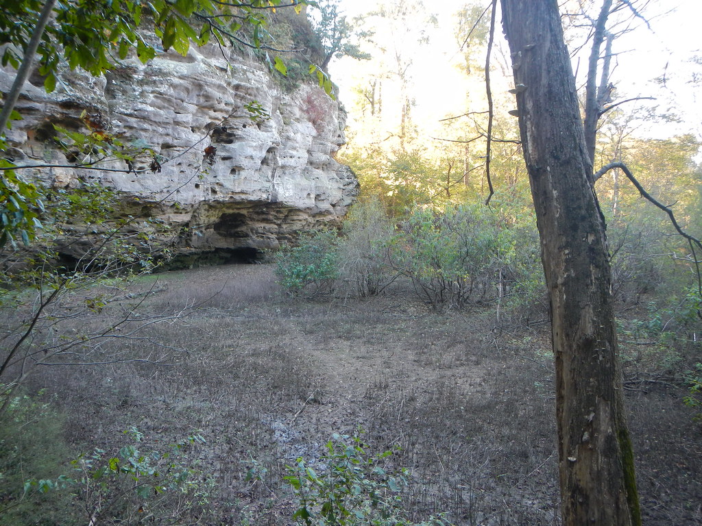
 Photo: Curtis Abert, CC BY 2.0 (via Flickr)
At a glance
001M5 is a 2.8-mile out-and-back hike in the Mississippi Bluffs Ranger District of Shawnee National Forest in southern Illinois, managed by the Forest Service. The trail is rated hard, with a total climb of 867 feet and a steepest grade of about 14% near the start. The route is gravel and not accessible. Horses are allowed, but bikes are not. The trail starts at about 733 feet and reaches a high point of 757 feet before returning to the starting elevation. Spring and fall are the most comfortable times to go. Typical averages from a nearby weather station in Anna run to highs around 71°F in April and 73°F in October, while July highs average about 90°F. King Hollow and Inspiration Point are both within a mile, and Bridgeman is about 2 miles away. Pine Hills Campground, roughly 4.7 miles off, is the closest place to camp.
- round trip
- 2.8 mi
- climb
- 867 ft
- high point
- 757 ft
- route
- Out and back
- time
- About 1 hour
- best months
- Mar–May, Sep–Nov
Where it is: Mississippi Bluffs Ranger District · Shawnee National Forest
Near: Carbondale
Best time to visit 001M5
Best months: March–May and September–November. Best months have typical highs of 55–85 °F, lows of 30 °F or warmer (32 °F where the station doesn't record snow), at most one snowy day and no more than 12 wet days.
Jan
45°
25°
9 wet
Feb
50°
29°
8 wet
Mar
61°
37°
10 wet
Apr
71°
46°
11 wet
May
79°
56°
12 wet
Jun
87°
65°
9 wet
Jul
90°
69°
8 wet
Aug
89°
67°
7 wet
Sep
83°
59°
7 wet
Oct
73°
48°
9 wet
Nov
59°
37°
10 wet
Dec
48°
30°
10 wet
Typical high / low (°F) and days with rain or snow, 1991–2020. Measured at Anna 2 Nne, IL, 12.9 mi away at 640 ft. This station doesn't record snowfall. Source: NOAA NCEI U.S. Climate Normals 1991–2020.
Been here? Tell people how it was.
- King HollowHikingPhoto: Curtis Abert, CC BY 2.0 (via Flickr)0.5 mi
 Inspiration PointHikingPhoto: Curtis Abert, CC BY 2.0 (via Flickr)0.6 mi
- BridgemanHiking2.1 mi
- *A: House BouldersRock climbing2.3 mi
- A: Alamo BoulderRock climbing2.4 mi
- C: Red Sea BoulderRock climbing2.4 mi
- Pine Hills CampgroundCamping4.7 mi
- Clear CreekCanoeing7.4 mi
- King HollowHikingPhoto: Curtis Abert, CC BY 2.0 (via Flickr)Next door
 River to River Segment 7 - Alto Pass to Devil's BackboneHikingPhoto: USDAgov, Public Domain Dedication (CC0) (via Flickr)~10 min drive
 Little Grand CanyonHikingPhoto: Curtis Abert, CC BY 2.0 (via Flickr)~13 min drive
 Little Grand CanyonHikingPhoto: Curtis Abert, CC BY 2.0 (via Flickr)~12 min drive
- Adt - Illinois (South) - J - Seg 3HikingPhoto: USDAgov, Public Domain Dedication (CC0) (via Flickr)~10 min drive
- Inspiration PointHikingPhoto: Curtis Abert, CC BY 2.0 (via Flickr)~1 min drive
 White PineHikingPhoto: Curtis Abert, CC BY 2.0 (via Flickr)~5 min drive
- Lyerla ChapelHiking~5 min drive
- Lead MineHiking~4 min drive
- Little Cedar LoopHiking~13 min drive
Conditions and forecast
Caution todayAgency alerts are in effect for this areaUSFS · checked 7 h agoDaily highs and lows, wind and the chance of precipitation at Start for the next 7 days, from the Open-Meteo model.
Ask about this place
Questions about 001m5: conditions, access, timing. Answers say when something isn't known.
