Carter Meadows
California
Free — you'll pick up right here.
2.5 mi
Distance
296 ft
Gain
Conditions: Blocked
for hike, todayAn agency closure order is in effect for this area; weather is good
2 factors · 2 sources
Newest 22 min ago · oldest 39 min
problem: Agency alerts
5 active alerts in Lassen National Forest; most severe: SAFETY ALERT - South Antelope Bridge out, Do Not Cross
USFSPosted Feb 2 · checked 39 min ago
clear: Weather
Clear, high 72°F / low 57°F, 0% precip — 100/100 for hike
OpenWeather22 min ago
Been out here in the last few days? One report keeps this current for everyone.
Why you'll love it
Here's your day, mapped
Carter Meadows
Suggested plan · check conditions before you go
Meals
Gear for the day
Elevation & route
- Distance
- 2.5 mi
- Elevation gain
- 296 ft
- Highest point
- 6,606 ft
- Lowest point
- 6,290 ft
Photos
Directions & GPX
Permits & access
- Managing agency
- Forest Service
- Bikes
- Not allowed
- Horses
- Allowed
- Surface
- Natural
Source for bikes, horses, surface: USDA Forest Service National Forest System Trails (EDW)
About this trail
Carter Meadows is a 2.52-mile out-and-back trail in California with 384 feet of elevation gain. The trail is managed by the Forest Service.
Facts about this trail
The climb
- High point
- 6,606 ft
- Length (round trip)
- 2.5 mi
- Shape
- Out and back
Source: Roamze elevation profile and trail geometry (DEM samples along the mapped route)
When to go
Typical monthly averages (not a forecast) from the Manzanita Lake, CA weather station, 24 mi away. High / low in °F.
- Jan41° high22° low
- Feb42° high22° low
- Mar46° high24° low
- Apr50° high27° low
- May61° high35° low
- Jun70° high41° low
- Jul79° high46° low
- Aug78° high45° low
- Sep72° high41° low
- Oct59° high33° low
- Nov47° high26° low
- Dec39° high22° low
Where it is
- Almanor Ranger District · Ranger district
- Lassen National Forest · National forest
- Managed by
- Forest Service
Conditions
Active alerts for Lassen National Forest as of Oct 9, 2026:
SAFETY ALERT - South Antelope Bridge out, Do Not Cross
critical · posted Aug 24, 2026
critical · posted Aug 24, 2026
Lassen National Forest Camping Restrictions
information · posted Aug 24, 2026
Lake Almanor Area Camping Restriction
information · posted Aug 24, 2026
Lake Almanor Recreational Trail Restriction
information · posted Aug 24, 2026
Source: USFS forest alerts
Nearby
- Butt MountainHiking1.7 mi
- Elam CampgroundCamping3.1 mi
- Alder CreekCamping4.3 mi
- Edna's TrailHiking6.4 mi
- Potato PatchCamping6.5 mi
- Jonesville Canyon TrailHiking7.3 mi
- Butt CreekCanoeing7.3 mi
- North Fork Feather RiverCanoeing9.5 mi
Source: Roamze catalog (indexable pages within 10 miles, PostGIS distance)
Add to a trip & share
Keep exploring — more trails worth the drive
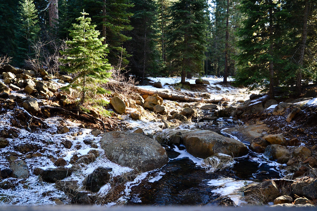 Photo: ilya_ktsn, CC BY 2.0 (via Flickr)
Lake Almanor Recreation Trail
~19 min drive
14.54-mile out-and-back hike at Lake Almanor, California with 872 ft gain
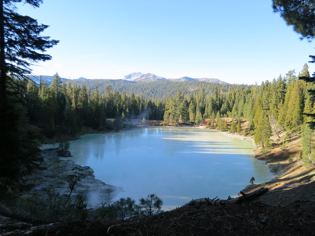 Photo: estro, CC BY-SA 2.0 (via Flickr)
Terminal Geyser Trail
~25 min drive
3.38-mile out-and-back trail with 831 ft gain in California
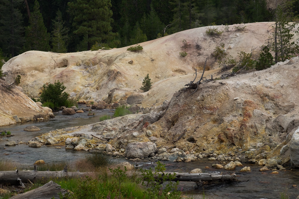 Photo: Justin Dolske, CC BY-SA 2.0 (via Flickr)
Drake Lake Trail
~26 min drive
7.86-mile out-and-back hike in California with 1,649 ft elevation gain.
Edna's Trail
~11 min drive
0.37-mile loop trail in California.
Heart Lake Trail
~25 min drive
16.62-mile out-and-back hike in California with 3,501 ft gain/loss.
 Photo: Pacific Southwest Region 5, Public domain (via Wikimedia Commons)
Spencer Meadow Loop Trail
~20 min drive
9.02-mile out-and-back hike in California with 3,039 ft gain/loss
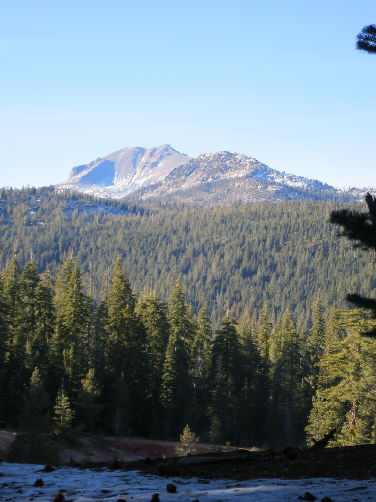 Photo: estro, CC BY-SA 2.0 (via Flickr)
Boiling Springs Lake Trail
~27 min drive
1.04-mile out-and-back hike in California with 401 ft elevation gain and loss.
 Photo: Ken Lund, CC BY-SA 2.0 (via Flickr)
Almanor Recreation Trail
~27 min drive
5.9-mile out-and-back hike in California with 1,584 ft gain and 4,619 ft max elevation.
Sunflower Flat
~17 min drive
5.38-mile out-and-back trail in California with 492 ft gain.
Photo: Pacific Southwest Region 5, Public domain (via Wikimedia Commons)SPENCER MEADOW LOOP
~20 min drive
9.16-mile out-and-back out-and-back in California with 3,218 ft elevation gain
