
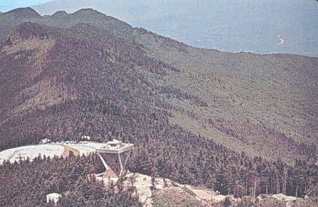
Mount Mitchell Campground
Campground
6.0 mi from the trail
Elk Pen is a 3-mile out-and-back hike on natural trail surface in the Appalachian Ranger District of the National Forests in North Carolina, managed by the Forest Service. The route gains about 1,170 feet from the trailhead to the high point of 3,441 feet, and the steepest stretch comes at about 0.8 miles in with a 20% grade. The trail is rated moderate, and it works for horses and bikes as well as hikers. For comfortable conditions, late spring and early fall are the sweet spots. Typical averages from a nearby weather station show September highs around 77°F and October highs near 68°F, and temperatures at the high point run cooler than those figures because the station sits about 960 feet lower. The hike starts close to several other outings. Walker Creek is 0.6 miles away, and Pisgah National Forest offers river fishing 0.8 miles off. Snake's Den and Corner Rock, both climbing areas, are each about a mile from the trail.
Where it is: Appalachian Ranger District · National Forests in North Carolina
Near: Asheville
Best months: March–April and September–November. Best months have typical highs of 55–85 °F, lows of 30 °F or warmer (32 °F where the station doesn't record snow), at most one snowy day and no more than 12 wet days.
Jan
48°
28°
11 wet
Feb
52°
30°
11 wet
Mar
58°
36°
12 wet
Apr
67°
44°
12 wet
May
75°
53°
13 wet
Jun
81°
60°
13 wet
Jul
84°
63°
15 wet
Aug
82°
62°
13 wet
Sep
77°
56°
10 wet
Oct
68°
46°
9 wet
Nov
59°
36°
9 wet
Dec
51°
31°
11 wet
Typical high / low (°F) and days with rain or snow, 1991–2020. Measured at N Fk 2, NC, 7 mi away at 2,480 ft. The station sits about 1,000 ft lower than this place, so expect it a little cooler here. This station doesn't record snowfall. Source: NOAA NCEI U.S. Climate Normals 1991–2020.
Been here? Tell people how it was.
 Briar Bottom Group CampCampingPhoto: Wncoutdoors, CC BY-SA 3.0 (via Wikimedia Commons)8.5 mi
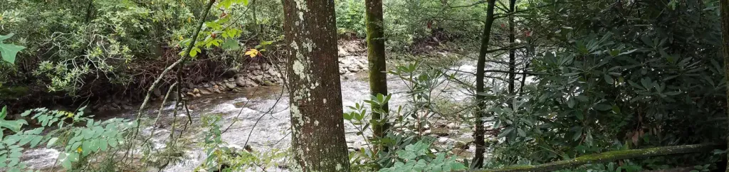 Black Mountain CampgroundCampingPhoto: Recreation.gov (RIDB) / public domain8.8 mi
 Staire CreekHikingPhoto: Scott Teresi, CC BY-SA 2.0 (via Flickr)~3 min driveBig ButtHikingPhoto: Scott Teresi, CC BY-SA 2.0 (via Flickr)~5 min drive
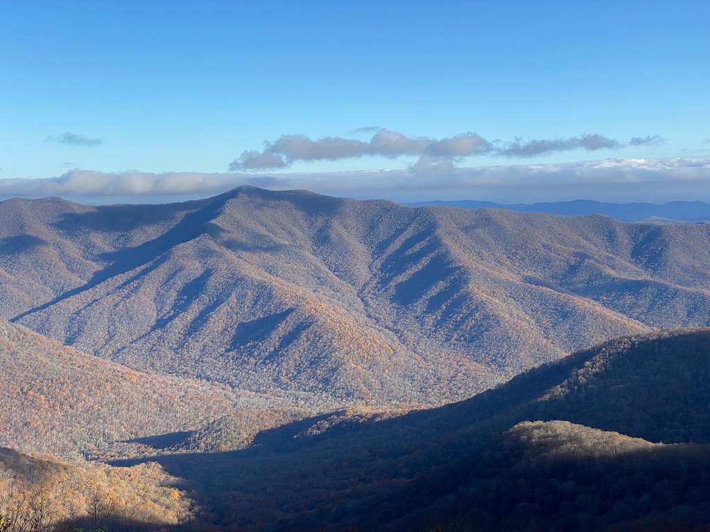 Reese TrailHikingPhoto: daveynin, CC BY 2.0 (via Flickr)~7 min drive
 Buncombe HorseHikingPhoto: daveynin, CC BY 2.0 (via Flickr)~12 min driveStair CreekHikingPhoto: Scott Teresi, CC BY-SA 2.0 (via Flickr)~3 min drive
 Mt MitchellHikingPhoto: Tim Brown Architecture, CC BY 2.0 (via Flickr)~15 min drive
 Craggy Pinnacle TrailHikingPhoto: A. Duarte, CC BY-SA 2.0 (via Flickr)~7 min drive
 PerkinsHikingPhoto: Scott Teresi, CC BY-SA 2.0 (via Flickr)~2 min drive
 SnowballHikingPhoto: A. Duarte, CC BY-SA 2.0 (via Flickr)~8 min drive
Daily highs and lows, wind and the chance of precipitation at Start for the next 7 days, from the Open-Meteo model.
Questions about Elk Pen: conditions, access, timing. Answers say when something isn't known.
Mount Mitchell Campground
Campground
Mount Mitchell State Park Restaurant
Restaurant
 If it rainsDavidhuffcreative, CC BY-SA 4.0 · Wikimedia Commons
Places © OpenStreetMap contributors, Places © Overture Maps Foundation · Photos: Davidhuffcreative, CC BY-SA 4.0 (commons)
More in Spruce PineNot on Roamze yet. Their page has how to reach them.
