Cayton Campground
Campground
3.2 mi from the trail
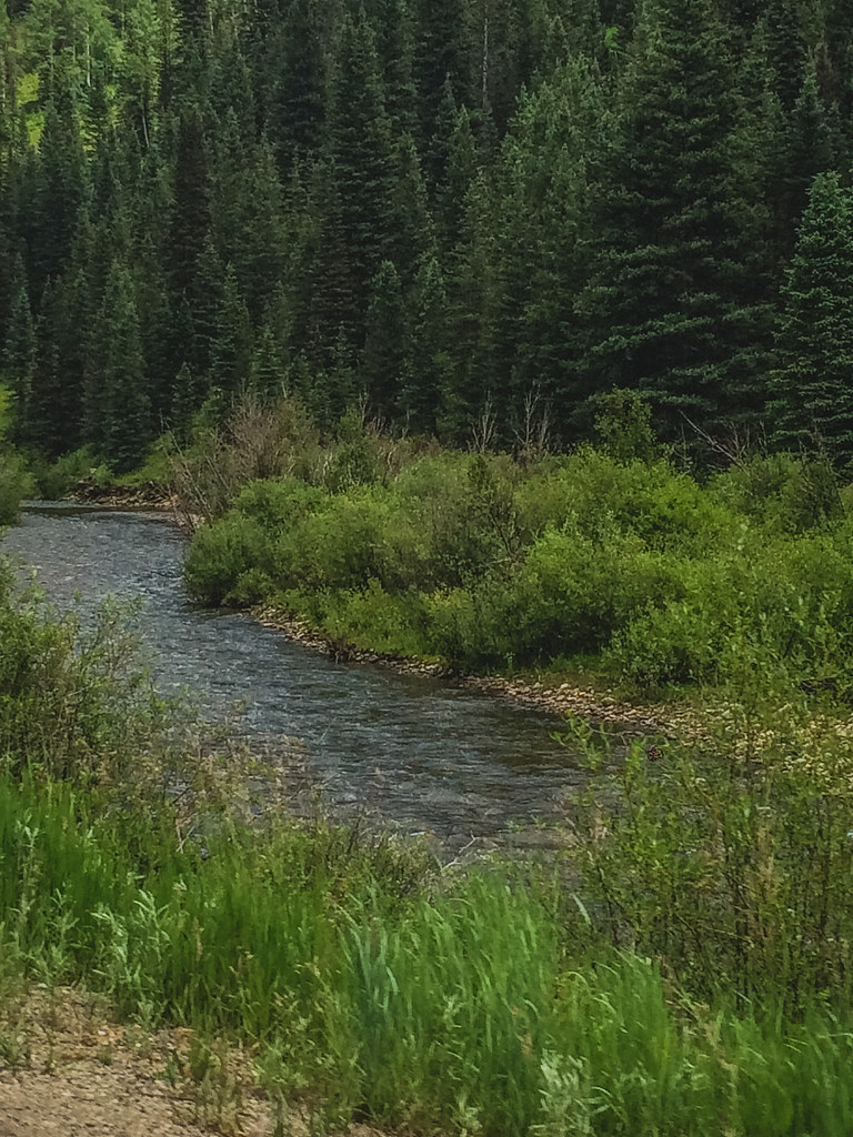 Photo: Sale Family Memories, CC BY 2.0 (via Flickr)
McJunkin is an easy hike of about 2 miles in the Mancos/Dolores Ranger District of the San Juan National Forest in southwest Colorado, managed by the Forest Service. It's a short out-and-back with a climb of about 755 feet, rising from roughly 9,058 feet to about 9,815 feet. The trail has a natural surface and is open to both horses and bikes, making it a good option for riders and riders of all sorts. For timing, July and August are the warmest months, with typical highs around 75°F and lows near 38°F at Silverton, the closest nearby weather station, which sits about 530 feet lower than the high point here. Winter is cold, with January highs typically around 34°F. Cayton Campground and Burro Bridge Campground are both within about 4 miles for an overnight stay, and the West Dolores River offers canoeing a little under 5 miles away. Horse Creek is the nearest other hike, about 2 miles off.
Where it is: Mancos/Dolores Ranger District · San Juan National Forest
Near: Telluride
No month here meets our mild-weather rule. Best months have typical highs of 55–85 °F, lows of 30 °F or warmer (32 °F where the station doesn't record snow), at most one snowy day and no more than 12 wet days.
Jan
34°
-6°
9 wet
Feb
36°
-3°
9 wet
Mar
43°
6°
10 wet
Apr
48°
17°
9 wet
May
58°
25°
9 wet
Jun
70°
31°
7 wet
Jul
75°
38°
13 wet
Aug
72°
37°
15 wet
Sep
66°
30°
12 wet
Oct
55°
20°
9 wet
Nov
43°
7°
8 wet
Dec
34°
-5°
9 wet
Typical high / low (°F) and days with rain or snow, 1991–2020. Measured at Silverton, CO, 20.1 mi away at 9,285 ft. The station sits about 500 ft lower than this place, so expect it a little cooler here. This station doesn't record snowfall. Source: NOAA NCEI U.S. Climate Normals 1991–2020.
Been here? Tell people how it was.
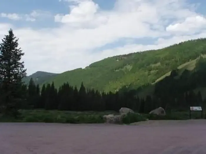 Cayton CampgroundCampingPhoto: Recreation.gov (RIDB) / public domain3.2 mi
 West Dolores RiverCanoeingPhoto: Jeffrey Beall, CC BY 4.0 (via Wikimedia Commons)4.9 mi
 Burnett ConnectorHikingPhoto: cmirkin, CC BY-SA 2.0 (via Flickr)~9 min drive
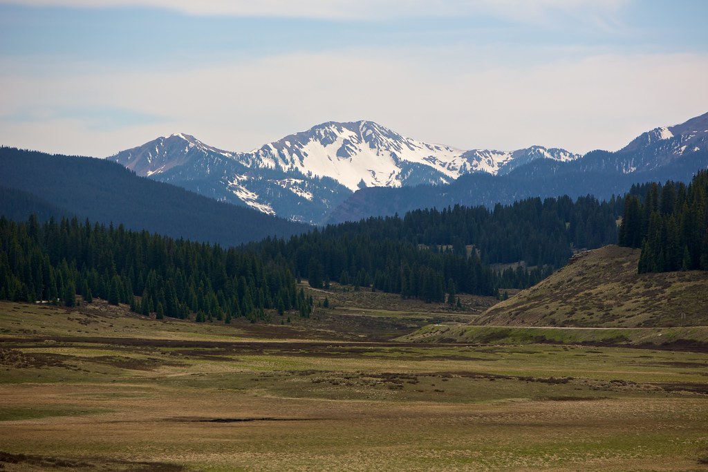 East Fork TrailHikingPhoto: cmirkin, CC BY-SA 2.0 (via Flickr)~10 min driveRio Grande SouthernHikingPhoto: cmirkin, CC BY-SA 2.0 (via Flickr)~13 min drive
 Sheep MountainHikingPhoto: sf-dvs, CC BY 2.0 (via Wikimedia Commons)~13 min drive
Daily highs and lows, wind and the chance of precipitation at Start for the next 7 days, from the Open-Meteo model.
Questions about Mcjunkin: conditions, access, timing. Answers say when something isn't known.
Cayton Campground
Campground
Little Hawaii Grotto
Attraction
Places © OpenStreetMap contributors, Places © Overture Maps Foundation
More in TellurideNot on Roamze yet. Their page has how to reach them.
