Atkisson Group camp
Campground
2.9 mi from the trail
Monte Cristo is a hard out-and-back hike in Washington's Gifford Pinchot National Forest, on the Mt. Adams Ranger District. The trail is about 7.6 miles long, and the route gains and loses about 3,225 feet in elevation over the course of the day. The trip starts at an elevation of about 4,172 feet and reaches a high point of about 4,297 feet before turning around. The most severe stretch comes at about 2.1 miles, where the trail climbs roughly 31% grade. The Forest Service lists the trail as natural-surfaced and not accessible. The hike takes about four hours to complete, and the most comfortable time to go is summer and early fall. A nearby weather station records typical averages of about 74°F in August and 62°F in September. Cave Creek, about 2.7 miles away, offers canoeing. Atkisson Group camp and the Ice Caves XC Loop are both within about 3 miles. Oklahoma campground sits about 4.3 miles off.
Where it is: Mt. Adams Ranger District · Gifford Pinchot National Forest
Near: Hood River
Been here? Tell people how it was.
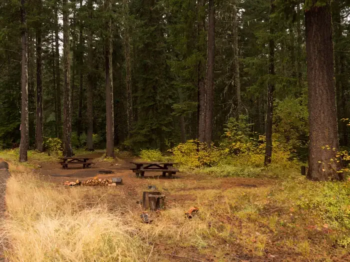 Atkisson Group campCampingPhoto: Recreation.gov (RIDB) / public domain2.9 mi
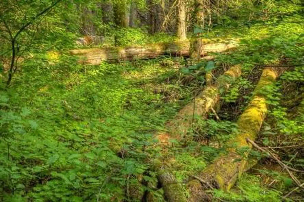 Oklahoma campgroundCampingPhoto: Recreation.gov (RIDB) / public domain4.3 mi
 Sleeping BeautyHikingPhoto: Ryan Snyder, CC BY 2.0 (via Wikimedia Commons)~20 min drive
 Deep LakeHikingPhoto: U.S. Forest Service- Pacific Northwest Region, Public domain (via Wikimedia Commons)~20 min driveLemei LakeHikingPhoto: U.S. Forest Service- Pacific Northwest Region, Public domain (via Wikimedia Commons)~20 min drive
 ShortcutHikingPhoto: Nwcamera1, CC BY-SA 3.0 (via Wikimedia Commons)~20 min drive
Also worth it near here
 6020 SledMountain bikingPhoto: U.S. Forest Service- Pacific Northwest Region, Public domain (via Wikimedia Commons)~13 min drive
 Little White Salmon RiverCanoeingPhoto: William de Chastignier Ravenel, Public domain (via Wikimedia Commons)~13 min drive
Daily highs and lows, wind and the chance of precipitation at the summit and route start for the next 7 days, from the Open-Meteo model.
Questions about Monte Cristo: conditions, access, timing. Answers say when something isn't known.
Atkisson Group camp
Campground
Mt. Adams Pizza
Restaurant
 If it rainsJmasterson, CC BY-SA 3.0 · Wikimedia Commons
Western Antique Aeroplane & Automobile Museum
Museum
Aviation and automobile museum in Oregon, United States
Places © OpenStreetMap contributors · Photos: Jmasterson, CC BY-SA 3.0 (commons)
More in Trout LakeNot on Roamze yet. Their page has how to reach them.
About 7.6 mi round trip.
About 3,225 ft of climbing round trip.
It is rated hard.
About 3 hours round trip.
