Sig Creek Campground
Campground
6.2 mi from the trail
Salt Creek is an 11.16-mile out-and-back trail in Colorado managed by San Juan National Forest. The trail gains 2,638 feet of elevation over its round-trip distance, reaching a maximum elevation of 10,894 feet.
Where it is: Columbine Ranger District · San Juan National Forest
Near: Durango
Mid-June to mid-September is usually best for hiking here.
Typical highs of 67–75°F and lows of 30°F or warmer in those weeks. Rain falls on about 50% of days at the wettest of them, so plan around showers.
Typical weather: NOAA 1991–2020 normals at Silverton, CO, 23 mi away. Not a forecast.
Typical weather by monthBest months: June–September. Best months are the ones mostly made of the best weeks for hiking: typical temperatures in its comfortable range, few snowy days and not usually wet, judged with the same limits as our good-day forecasts.
Jan
34°
-6°
9 wet
Feb
36°
-3°
9 wet
Mar
43°
6°
10 wet
Apr
48°
17°
9 wet
May
58°
25°
9 wet
Jun
70°
31°
7 wet
Jul
75°
38°
13 wet
Aug
72°
37°
15 wet
Sep
66°
30°
12 wet
Oct
55°
20°
9 wet
Nov
43°
7°
8 wet
Dec
34°
-5°
9 wet
Typical high / low (°F) and days with rain or snow, 1991–2020. Measured at Silverton, CO, 23.2 mi away at 9,285 ft. The station sits about 1,600 ft lower than this place, so expect it a little cooler here. This station doesn't record snowfall. Source: NOAA NCEI U.S. Climate Normals 1991–2020.
Been here? Tell people how it was.
 Castle Rock TrailHikingPhoto: Frans-Banja Mulder, CC BY 3.0 (via Wikimedia Commons)~12 min drive
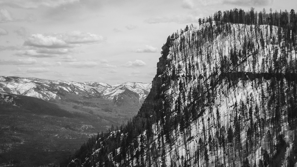 Goulding CreekHikingPhoto: Daniel Weber, Public Domain Dedication (CC0) (via Flickr)~13 min drive
 Rio Grande SouthernHikingPhoto: cmirkin, CC BY-SA 2.0 (via Flickr)~14 min drive
 Aspen LoopHikingPhoto: markbyzewski, CC BY 2.0 (via Flickr)~13 min drive
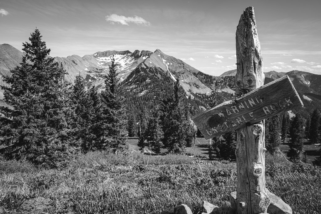 SharkstoothHikingPhoto: Daniel Weber, Public Domain Dedication (CC0) (via Flickr)~14 min driveHaviland ViewHikingPhoto: markbyzewski, CC BY 2.0 (via Flickr)~13 min drive
 Dutch Creek TrailHikingPhoto: markbyzewski, CC BY 2.0 (via Flickr)~10 min drive
Daily highs and lows, wind and the chance of precipitation at Start for the next 7 days, from the Open-Meteo model.
Questions about Salt Creek: conditions, access, timing. Answers say when something isn't known.
Sig Creek Campground
Campground
Pinkerton Hot Springs
Hot spring
Places © OpenStreetMap contributors, Places © Overture Maps Foundation
More in DurangoNot on Roamze yet. Their page has how to reach them.
