
Mount Mitchell Campground
Campground
5.9 mi from the trail
Walker Creek is a moderate, 3.5-mile out-and-back hike on natural-surface trail in the Appalachian Ranger District of the National Forests in North Carolina. The trail starts at about 2,818 feet and climbs to a high point of 3,810 feet, with a total gain of 1,586 feet. The steepest stretch comes near the beginning, around 0.9 miles in, where the grade reaches 21 percent. The Forest Service manages the land, and the route allows both horses and bikes. The climb makes it a day hike rather than a quick outing, and with about 2 hours estimated for the trip, it works well as a standalone visit or in combination with other nearby stops. For comfortable weather, aim for late spring or early fall. Typical averages from a nearby weather station at a similar elevation show May highs around 69°F and September highs around 70°F, with fewer wet days in September than in midsummer. Elk Pen is about half a mile away, and Perkins and Snake's Den are each within about a mile. Pisgah National Forest's river fishing is roughly 1.1 miles off.
Where it is: Appalachian Ranger District · National Forests in North Carolina
Near: Asheville
Best months: May and September–October. Best months have typical highs of 55–85 °F, lows of 30 °F or warmer (32 °F where the station doesn't record snow), at most one snowy day and no more than 12 wet days.
Jan
41°
25°
13 wet · 6 snow
Feb
44°
27°
12 wet · 5 snow
Mar
52°
33°
13 wet · 5 snow
Apr
62°
42°
12 wet · 2 snow
May
69°
50°
12 wet
Jun
73°
57°
14 wet
Jul
76°
61°
14 wet
Aug
75°
59°
13 wet
Sep
70°
54°
10 wet
Oct
61°
44°
9 wet
Nov
52°
34°
10 wet · 2 snow
Dec
44°
28°
12 wet · 5 snow
Typical high / low (°F) and days with rain or snow, 1991–2020. Measured at Swannanoa 2 Sse, NC, 12.4 mi away at 4,320 ft. The station sits about 500 ft higher than this place, so expect it a little warmer here. Source: NOAA NCEI U.S. Climate Normals 1991–2020.
Been here? Tell people how it was.
 PerkinsHikingPhoto: Scott Teresi, CC BY-SA 2.0 (via Flickr)1 mi
 Briar Bottom Group CampCampingPhoto: Wncoutdoors, CC BY-SA 3.0 (via Wikimedia Commons)8.4 mi
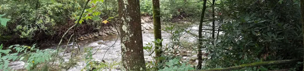 Black Mountain CampgroundCampingPhoto: Recreation.gov (RIDB) / public domain8.7 miPerkinsHikingPhoto: Scott Teresi, CC BY-SA 2.0 (via Flickr)~2 min drive
 Bear PenHikingPhoto: pmuellr, CC BY 2.0 (via Flickr)~2 min drive
 Big ButtHikingPhoto: Scott Teresi, CC BY-SA 2.0 (via Flickr)~4 min drive
 Buncombe HorseHikingPhoto: daveynin, CC BY 2.0 (via Flickr)~12 min driveStaire CreekHikingPhoto: Scott Teresi, CC BY-SA 2.0 (via Flickr)~2 min drive
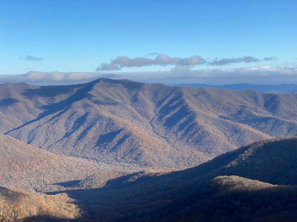 Reese TrailHikingPhoto: daveynin, CC BY 2.0 (via Flickr)~6 min drive
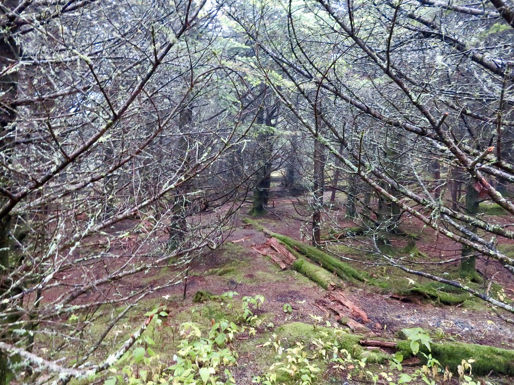 Black Mountain CrestHikingPhoto: aafromaa, CC BY 2.0 (via Flickr)~11 min driveStair CreekHikingPhoto: Scott Teresi, CC BY-SA 2.0 (via Flickr)~2 min drive
 Craggy Pinnacle TrailHikingPhoto: A. Duarte, CC BY-SA 2.0 (via Flickr)~6 min drive
Daily highs and lows, wind and the chance of precipitation at Start for the next 7 days, from the Open-Meteo model.
Questions about Walker Creek: conditions, access, timing. Answers say when something isn't known.
Mount Mitchell Campground
Campground
Mount Mitchell State Park Restaurant
Restaurant
 If it rainsDavidhuffcreative, CC BY-SA 4.0 · Wikimedia Commons
Places © OpenStreetMap contributors, Places © Overture Maps Foundation · Photos: Davidhuffcreative, CC BY-SA 4.0 (commons)
More in Spruce PineNot on Roamze yet. Their page has how to reach them.
