Devils Head
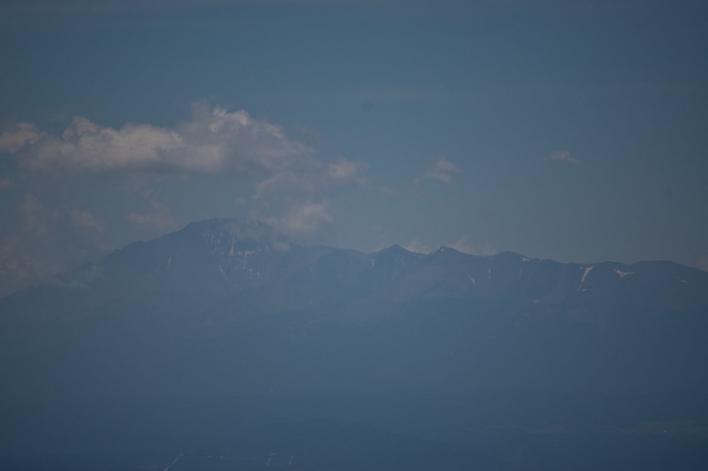 Photo: Ben Mason, CC BY 2.0 (via Flickr)
At a glance
Devils Head is an easy out-and-back hike of about 2.8 miles in the South Platte Ranger District of the Pike and San Isabel National Forests in Colorado, managed by the Forest Service. The trail rises from a low point of about 8,837 feet to a high of about 9,664 feet, with a total elevation gain of about 809 feet. The route is on natural surface, and bikes are not allowed. Devils Head Campground sits just 0.2 miles away, and the Devils Head Spur Trail 679.A is about 0.3 miles off. Climbers will find the Main Area and Unicorn Valley climbing areas within about 0.4 miles.
- round trip
- 2.8 mi
- climb
- 809 ft
- high point
- 9,664 ft
- route
- Out and back
Where it is: South Platte Ranger District · Pike and San Isabel National Forests
Near: Castle Rock
Been here? Tell people how it was.
- Devils Head CampgroundCamping0.2 mi
- Devils Head Spur Trail 679.AHikingPhoto: Ben Mason, CC BY 2.0 (via Flickr)0.3 mi
- Main AreaRock climbing0.4 mi
- Unicorn ValleyRock climbing0.4 mi
 Long Hollow Trail 650HikingPhoto: Ben Mason, CC BY 2.0 (via Flickr)0.5 mi
- Flat Rocks CampgroundCamping4.1 mi
- Horse CreekCanoeing5.8 mi
- South Platte RiverRiver fishing9.9 mi
- Devils Head Spur Trail 679.AHikingPhoto: Ben Mason, CC BY 2.0 (via Flickr)Next door
 770 Turtle MountainHikingPhoto: halseike, CC BY 2.0 (via Flickr)~9 min drive
- Long Hollow Trail 650HikingPhoto: Ben Mason, CC BY 2.0 (via Flickr)Next door
- Dutch Fred Trail 679Hiking~3 min drive
- New Radio Head Rock Climbing trailHikingPhoto: Ben Mason, CC BY 2.0 (via Flickr)~1 min drive
- CABIN RIDGEHiking~1 min drive
- 770.e Turtle MountainHiking~5 min drive
- Noodle Trail 677Hiking~7 min drive
- approxomate path locationHikingPhoto: Ben Mason, CC BY 2.0 (via Flickr)~1 min drive
- FT 679 Devil's Slide TrailHiking~3 min drive
Conditions and forecast on Devils Head
Caution todayAgency alerts are in effect for this areaUSFS · checked 17 min agoDaily highs and lows, wind and the chance of precipitation at the summit and route start for the next 7 days, from the Open-Meteo model.
Ask about this place
Questions about Devils Head: conditions, access, timing. Answers say when something isn't known.
Local outfitters
- Lostfork Basecamp33 mi away
- Broadmoor Outfitters36 mi away
Not on Roamze yet. Their page has how to reach them.
Getting there
Park at DEVILS HEAD TH.
Other routes up Devils Head
Questions about this route
How long is the Devils Head on Devils Head?
About 2.8 mi round trip from Devils Head Trailhead (about 8,837 ft).
How much elevation gain is on the Devils Head?
About 809 ft of climbing round trip.
How hard is the Devils Head?
It is rated easy.
Where does the Devils Head start?
Devils Head Trailhead (about 8,837 ft).
When is the best time for the Devils Head?
Year-round.
How many routes go up Devils Head?
2: Devils Head and Zinn Trail.
