Utley Brook
At a glance
Utley Brook is a cross-country ski route in Vermont's Manchester Ranger District, part of the Green Mountain and Finger Lakes National Forests. The Forest Service manages the land, and the route lies about 8 miles from Manchester. The ski route is a loop of roughly 8.3 miles, with a one-way climb of about 233 feet from a low point of 1,467 feet to a high of 1,773 feet. The steepest stretch comes at about 1.9 miles in, where the grade reaches 50 percent. That makes the route a hard ski, best suited for experienced skiers. Winter is the natural season for this trail. Typical averages from a nearby weather station in Peru, at a similar elevation, show January highs around 27°F and lows near 8°F, with February only slightly warmer at about 31°F. Several other destinations sit close by. The Little Michigan hike is about a mile away, and the Upper Little Michigan ski route is about 1.4 miles off. Peru Peak Shelter offers camping about 3 miles away, and Hapgood Pond, a fishing spot, is about 3.4 miles away.
- loop
- 8.3 mi
- climb
- 233 ft
- high point
- 1,773 ft
- route
- Loop
- time
- About 3 hours
- best months
- May–Oct
Where it is: Manchester Ranger District · Green Mountain and Finger Lakes National Forests
Near: Weston
Best time to visit Utley Brook
Best months: May–October. Best months have typical highs of 55–85 °F, lows of 30 °F or warmer (32 °F where the station doesn't record snow), at most one snowy day and no more than 12 wet days.
Jan
27°
8°
Feb
31°
10°
Mar
38°
17°
Apr
50°
30°
May
64°
42°
Jun
70°
51°
Jul
75°
56°
Aug
73°
55°
Sep
67°
47°
Oct
56°
37°
Nov
43°
26°
Dec
32°
16°
Typical high / low (°F) and days with rain or snow, 1991–2020. Measured at Peru, VT, 2.8 mi away at 1,700 ft. This station doesn't record snowfall. Source: NOAA NCEI U.S. Climate Normals 1991–2020.
Been here? Tell people how it was.
- Little MichiganHiking1.1 mi
- Upper Little MichiganCross-country skiing1.4 mi
- BoulderingRock climbing2.7 mi
- Peru Peak ShelterCamping3 mi
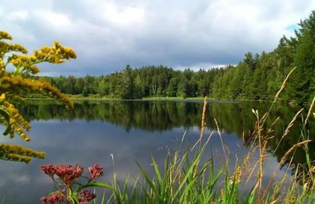 Hapgood PondPier fishingPhoto: Recreation.gov (RIDB) / public domain3.4 mi
- Lost Pond ShelterCamping4.3 mi
 Otter CreekCanoeingPhoto: Ahale at English Wikipedia, Public domain (via Wikimedia Commons)5.1 mi
- Right ValeRock climbing7.6 mi
 Bromley Mountain Ski ResortDownhill skiingPhoto: Jrclark, CC BY-SA 3.0 (via Wikimedia Commons)~10 min drive
- Little MichiganCross-country skiing~2 min drive
- Cemetery RunCross-country skiing~2 min drive
- Wild Wings - LoonCross-country skiing~3 min drive
- Moses PondCross-country skiing~6 min drive
- Upper Little MichiganCross-country skiing~2 min drive
- Rootbeer RidgeCross-country skiing~6 min drive
- Jones Brook EastCross-country skiing~3 min drive
- Jones Brook WestCross-country skiing~2 min drive
- Jenny CoolidgeCross-country skiing~7 min drive
Conditions and forecast
Daily highs and lows, wind and the chance of precipitation at Start for the next 7 days, from the Open-Meteo model.
Ask about this place
Questions about Utley Brook: conditions, access, timing. Answers say when something isn't known.
