La Sombra Campground
Campground
2.4 mi from the trail
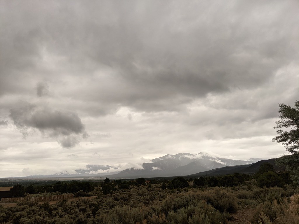
Mondragon is a hard hike in the Camino Real Ranger District of Carson National Forest in northern New Mexico, managed by the Forest Service. The route is about 16 miles long and climbs roughly 2,200 feet from a low point near 8,000 feet to a high point of about 10,100 feet. The trail is natural-surfaced, and it's open to both horses and bikes. That makes it a good fit for riders and pack animals, but the climb is steep and the route is out and back. Summer is the most comfortable time to go. Typical averages from a nearby weather station at Angel Fire put July highs around 77°F with lows near 44°F, though temperatures on this hike run cooler. Winter brings highs in the upper 30s and regular snow from November through March. Nearby options include the Mondragon Spur, Paradise and the Sierra de Don Fernando Summit Trail, each about 2 miles away. La Sombra Campground and Capulin campground are both about 2.4 miles off.
Where it is: Camino Real Ranger District · Carson National Forest
Near: Taos
Early May to early October is usually best for hiking here.
Typical highs of 61–77°F and lows of 31°F or warmer in those weeks. Rain falls on about 40% of days at the wettest of them, so plan around showers.
Typical weather: NOAA 1991–2020 normals at Angel Fire 1s, NM, 9 mi away. Not a forecast.
Typical weather by monthBest months: May–September. Best months are the ones mostly made of the best weeks for hiking: typical temperatures in its comfortable range, few snowy days and not usually wet, judged with the same limits as our good-day forecasts.
Jan
38°
9°
6 wet · 6 snow
Feb
40°
12°
7 wet · 6 snow
Mar
47°
20°
7 wet · 6 snow
Apr
54°
26°
6 wet · 4 snow
May
64°
32°
7 wet · 1 snow
Jun
74°
38°
7 wet
Jul
77°
44°
11 wet
Aug
75°
42°
12 wet
Sep
69°
36°
9 wet
Oct
58°
27°
6 wet · 1 snow
Nov
46°
18°
4 wet · 3 snow
Dec
38°
11°
5 wet · 5 snow
Typical high / low (°F) and days with rain or snow, 1991–2020. Measured at Angel Fire 1s, NM, 8.7 mi away at 8,500 ft. The station sits about 1,600 ft lower than this place, so expect it a little cooler here. Source: NOAA NCEI U.S. Climate Normals 1991–2020.
Been here? Tell people how it was.
 El Nogal Nature TrailHikingPhoto: rogerostudio, CC BY-SA 2.0 (via Flickr)~10 min driveDevisadero LoopHikingPhoto: rogerostudio, CC BY-SA 2.0 (via Flickr)~10 min drive
 Lady SlipperHikingPhoto: Alexander Hatley, CC BY 2.0 (via Flickr)~14 min drive
 Twining-Blue Lake Pack TrailHikingPhoto: Matt Lavin, CC BY-SA 2.0 (via Flickr)~21 min drive
 Dos Arroyos TrailHikingPhoto: rogerostudio, CC BY-SA 2.0 (via Flickr)~13 min driveOjitosHikingPhoto: rogerostudio, CC BY-SA 2.0 (via Flickr)~11 min driveTwining Blue Lake Pack TrailHikingPhoto: Matt Lavin, CC BY-SA 2.0 (via Flickr)~22 min driveLake TrailHikingPhoto: Alexander Hatley, CC BY 2.0 (via Flickr)~14 min drive
Daily highs and lows, wind and the chance of precipitation at Start for the next 7 days, from the Open-Meteo model.
Questions about Mondragon: conditions, access, timing. Answers say when something isn't known.
La Sombra Campground
Campground
Don Carlos Lounge
Bar
 If it rainsKhlnmusa, CC BY-SA 3.0 · Wikimedia Commons
Places © OpenStreetMap contributors · Photos: Khlnmusa, CC BY-SA 3.0 (commons)
More in Arroyo SecoNot on Roamze yet. Their page has how to reach them.
