Rio Chiquito
Campground
Campground · 2.3 mi from the trail
Alert in the area
The Forest Service lists 3 alerts for Carson National Forest.
High-Elevation Snow Conditions
Agency alert covering Carson National Forest · USFS · Carson National Forest
Current Prescribed Fire Activity and Plans
Agency alert covering Carson National Forest · USFS · Carson National Forest
Current Fire Restrictions and Related Prohibitions
Agency alert covering Carson National Forest · USFS · Carson National Forest
As of · Source: USFS · Carson National Forest. Agencies don't list every closure — check before you go.
The Sierra de Don Fernando Summit Trail is a short, easy out-and-back hike in the Camino Real Ranger District of Carson National Forest in northern New Mexico, managed by the Forest Service. The trail is about 1.5 miles long, with a total elevation gain of 403 feet, and it starts and ends at roughly 10,181 feet, reaching a high point of about 10,357 feet. The climb is rolling, and the steepest stretch comes at about 0.6 miles in, with a grade of about 13 percent. The trip takes about half an hour, so it works well as a quick addition to a day spent exploring the surrounding area. The trail is close to several other hikes, including Paradise, just 0.1 mile away, and Buena Suerte, about 0.9 mile off. For an overnight stay, La Sombra Campground and Capulin are both within about 3.7 miles.
Rio Chiquito
Campground
Don Carlos Lounge
Bar
 If it rainsKhlnmusa, CC BY-SA 3.0 · Wikimedia Commons
Places © OpenStreetMap contributors · Photos: Khlnmusa, CC BY-SA 3.0 (commons)
More in Arroyo SecoNot on Roamze yet. Their page has how to reach them.
Daily highs and lows, wind and the chance of precipitation at the summit and route start for the next 7 days, from the Open-Meteo model.
Source: Roamze catalog (indexable pages within 10 miles, PostGIS distance)
 El Nogal Nature TrailHiking · ~12 min drivePhoto: rogerostudio, CC BY-SA 2.0 (via Flickr)Devisadero LoopHiking · ~12 min drivePhoto: rogerostudio, CC BY-SA 2.0 (via Flickr)
 Lady SlipperHiking · ~13 min drivePhoto: Alexander Hatley, CC BY 2.0 (via Flickr)Lake TrailHiking · ~13 min drivePhoto: Alexander Hatley, CC BY 2.0 (via Flickr)OjitosHiking · ~13 min drivePhoto: rogerostudio, CC BY-SA 2.0 (via Flickr)
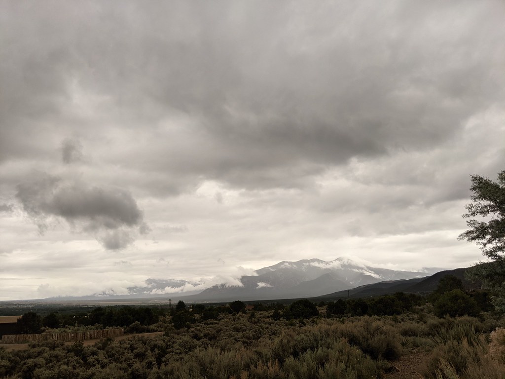 Dos Arroyos TrailHiking · ~15 min drivePhoto: rogerostudio, CC BY-SA 2.0 (via Flickr)
About 0.7 mi round trip.
About 403 ft of climbing round trip.
It is rated easy.
About 0.5 hours round trip.
Map and trail data © OpenStreetMap contributors
