Bear Spring
At a glance
Bear Spring is an easy out-and-back hike in the Safford Ranger District of Coronado National Forest in Arizona, about 2.2 miles long with a total elevation gain of 198 feet. The trail runs from a low point of about 4,929 feet to a high of about 5,235 feet, and it is managed by the Forest Service. Spring and fall are the most comfortable times to go. Typical averages from a nearby weather station in Willcox show April highs around 79°F and October highs around 82°F, while July and August average in the mid-90s with more wet days. The trail is natural-surface and bikes are allowed. It is not an accessible route. The Forest Service lists it as open year-round. Nearby options include Bassett Peak Trail #287C, about 4.5 miles away, and Mitchell Canyon and High Creek, both within about 6 miles.
- round trip
- 2.2 mi
- climb
- 198 ft
- high point
- 5,235 ft
- route
- Out and back
- time
- About 45 minutes
- best months
- Late Jan–late Apr, late Oct–early Dec
Where it is: Safford Ranger District · Coronado National Forest
Near: Willcox
Best weeks to go
Late January to late April and late October to early December are usually best for hiking here.
Typical highs of 63–79°F and lows of 30°F or warmer in those weeks.
Typical weather: NOAA 1991–2020 normals at Willcox, AZ, 27 mi away. Not a forecast.
Typical weather by monthBest time to visit Bear Spring
Best months: February–April and November. Best months are the ones mostly made of the best weeks for hiking: typical temperatures in its comfortable range, few snowy days and not usually wet, judged with the same limits as our good-day forecasts.
Jan
61°
28°
5 wet
Feb
65°
32°
5 wet
Mar
72°
36°
3 wet
Apr
79°
42°
2 wet
May
87°
50°
2 wet
Jun
97°
59°
3 wet
Jul
96°
66°
10 wet
Aug
94°
65°
10 wet
Sep
90°
57°
6 wet
Oct
82°
45°
4 wet
Nov
70°
34°
4 wet
Dec
60°
28°
5 wet
Typical high / low (°F) and days with rain or snow, 1991–2020. Measured at Willcox, AZ, 27.2 mi away at 4,170 ft. The station sits about 1,100 ft lower than this place, so expect it a little cooler here. Source: NOAA NCEI U.S. Climate Normals 1991–2020.
Been here? Tell people how it was.
 Nuttall Trail #303HikingPhoto: em_burk, CC BY-SA 2.0 (via Flickr)~36 min drive
 Blue Jay Ridge Trail #314HikingPhoto: em_burk, CC BY-SA 2.0 (via Flickr)~36 min drive
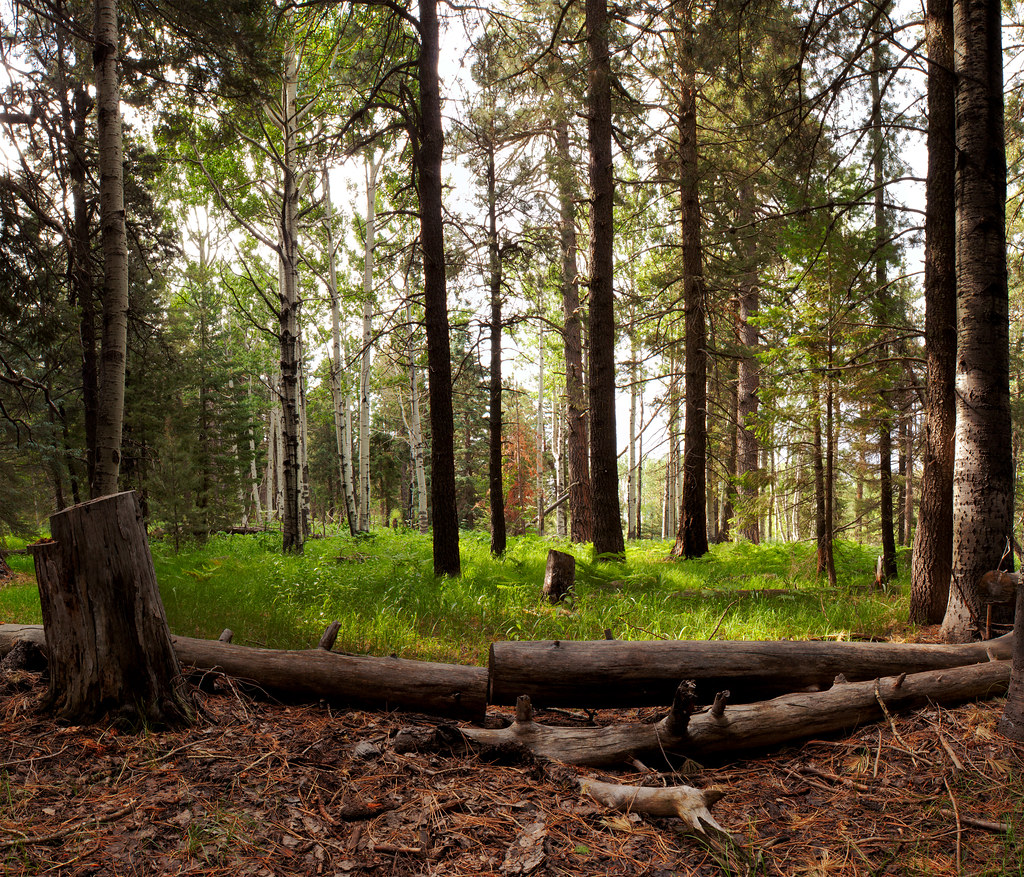 Jesus Goudy Ridge Trail #298HikingPhoto: squeaks2569, CC BY-SA 2.0 (via Flickr)~38 min drive
- Mitchell CanyonHiking~9 min drive
- Trail #285AHiking~16 min drive
- Clark Peak Trail #301HikingPhoto: em_burk, CC BY-SA 2.0 (via Flickr)~36 min drive
- Grant Goudy Ridge Trail #310Hiking~35 min drive
- RattlesnakeHiking~20 min drive
- West Divide Trail #289Hiking~18 min drive
- Carter NuttallHikingPhoto: em_burk, CC BY-SA 2.0 (via Flickr)~37 min drive
Conditions and forecast
Caution todayAgency alerts are in effect for this areaUSFS · checked 6 h agoDaily highs and lows, wind and the chance of precipitation at Start for the next 7 days, from the Open-Meteo model.

Ask about this place
Questions about Bear Spring: conditions, access, timing. Answers say when something isn't known.
