The Sawmill Station
Hiking business nearby (~11 mi away) — hasn't claimed their Roamze page yet
Idaho
Free — you'll pick up right here.
13.0 mi
Distance
725 ft
Gain
Agency alerts are in effect for this area; weather is good
2 factors · 2 sources
Newest 19 h ago · oldest 19 h
caution: Agency alerts
11 active alerts in Sawtooth National Forest; most severe: Stinson Creek Prescribed Burn Restricted Access
USFSPosted Oct 3 · checked 19 h ago
clear: Weather
Clear, high 67°F / low 34°F, 0% precip — 99/100 for hike
OpenWeather19 h ago
Been out here in the last few days? One report keeps this current for everyone.
Why you'll love it
Warm Springs Creek
Suggested plan · check conditions before you go
Source for horses, surface: USDA Forest Service National Forest System Trails (EDW)
Warm Springs Creek is a 13.01-mile out-and-back trail in Idaho managed by the Forest Service. The trail gains 725 feet of elevation.
Source: Roamze elevation profile and trail geometry (DEM samples along the mapped route)
Typical monthly averages (not a forecast) from the Stanley Rs, ID weather station, 13 mi away. High / low in °F.
Source: Wilderness.net boundaries; USFS EDW boundaries; USGS PAD-US 4.1
Active alerts for Sawtooth National Forest as of Oct 9, 2026:
Stinson Creek Prescribed Burn Restricted Access
caution · posted Oct 5, 2026
Public Safety – Occupancy and Use
information · posted Sep 11, 2026
Occupancy and Use - Food Storage
caution · posted Aug 24, 2026
information · posted Aug 24, 2026
Hemingway-Boulders and Cecil D. Andrus-White Clouds Wilderness Areas - Occupancy and Use
information · posted Aug 24, 2026
Sawtooth Wilderness Area Occupancy and Use
information · posted Aug 24, 2026
Over-Snow Vehicle and Bicycle Prohibitions
caution · posted Aug 24, 2026
Sawtooth National Recreation Area - Occupancy and Use
information · posted Aug 24, 2026
Boating, Swimming, and Salmon River Corridor Use Prohibitions
information · posted Aug 24, 2026
information · posted Aug 24, 2026
Source: USFS forest alerts
Source: Roamze catalog (indexable pages within 10 miles, PostGIS distance)
 Photo: tinosa, Public domain (via Wikimedia Commons)
CUSTER TRAIL, RD #013, #070 -W
~6 min drive
27.40-mile point-to-point trail in Idaho with 3,175 ft elevation gain
 Photo: roy.luck, CC BY 2.0 (via Flickr)
FRENCH CREEK
~17 min drive
9.2-mile out-and-back trail in Idaho with 2,694 ft gain and 8,304 ft max elevation.
 Photo: U.S. Forest Service employees, Public domain (via Wikimedia Commons)
KELLY CREEK TRAIL
~20 min drive
3.3-mile out-and-back hike in Idaho with 583 ft elevation gain
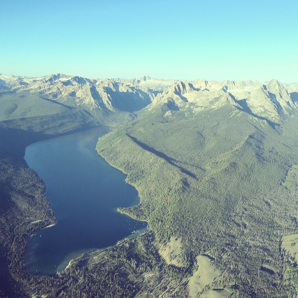 Photo: Sam Beebe, CC BY 2.0 (via Flickr)
REDFISH LAKE
~21 min drive
5.26-mile out-and-back trail at Redfish Lake in Idaho with 565 ft elevation gain.
Redfish - Stanley
~21 min drive
9.1-mile out-and-back trail in Idaho with 197 ft elevation gain.
GARDNER CREEK
~5 min drive
12.98-mile out-and-back trail in Idaho with 4,572 ft elevation gain/loss.
 Photo: Jloft, Public domain (via Wikimedia Commons)
BOUNDARY CREEK
~19 min drive
5.74-mile out-and-back trail in Idaho with 2,940 ft elevation gain
 Photo: Bas van Oorschot, CC BY-SA 3.0 (via Wikimedia Commons)
Custer Interpretive Trail
~17 min drive
0.82-mile loop trail in Idaho with 33 ft of elevation gain.
 Photo: WaterArchives.org from Sacramento, California, USA, CC BY-SA 2.0 (via Wikimedia Commons)
NIP AND TUCK CUTOFF
~21 min drive
4.82-mile out-and-back trail in Idaho with 1,505 ft elevation gain and loss.
BIG LAKE CREEK
~14 min drive
16.1-mile out-and-back trail in Idaho with 3,358 ft elevation gain and loss.
Local operatorsoffering guided trips. You book directly with them — Roamze doesn’t take a cut.
The Sawmill Station
Hiking business nearby (~11 mi away) — hasn't claimed their Roamze page yet
Camp Perkins
Hiking business nearby (~23 mi away) — hasn't claimed their Roamze page yet
