Burnt Rancheria
Campground
0.5 mi from the trail
 Photo: lhogue46, CC BY 2.0 (via Flickr)
Kwaaymii Cultural is a 1.00-mile out-and-back trail in California managed by the Forest Service. The trail has 63 feet of elevation gain.
Near: Julian
Early September to late June is usually best for hiking here.
Typical highs of 49–80°F and lows of 33°F or warmer in those weeks.
Typical weather: NOAA 1991–2020 normals at Mt Laguna #3, CA, 0 mi away. Not a forecast.
Typical weather by monthBest months: September–June. Best months are the ones mostly made of the best weeks for hiking: typical temperatures in its comfortable range, few snowy days and not usually wet, judged with the same limits as our good-day forecasts.
Jan
50°
33°
Feb
50°
34°
Mar
54°
36°
Apr
61°
40°
May
68°
46°
Jun
78°
53°
Jul
83°
60°
Aug
82°
58°
Sep
76°
54°
Oct
67°
45°
Nov
57°
38°
Dec
51°
34°
Typical high / low (°F) and days with rain or snow, 1991–2020. Measured at Mt Laguna #3, CA, 0.1 mi away at 5,920 ft. This station doesn't record snowfall. Source: NOAA NCEI U.S. Climate Normals 1991–2020.
Been here? Tell people how it was.
 Desert View NatureHikingPhoto: andy71, CC BY 4.0 (via Wikimedia Commons)~1 min drive
 Monument PeakHikingPhoto: danhurt, CC BY-SA 2.0 (via Flickr)~2 min drive
 REDTAIL ROOST LOOP SPURHikingPhoto: Jacob Reyes, CC BY 2.0 (via Flickr)~1 min driveRedtail Roost TrailHikingPhoto: Jacob Reyes, CC BY 2.0 (via Flickr)~2 min drive
 Big LagunaHikingPhoto: gabofr, CC BY 2.0 (via Flickr)~6 min drive
 Secret Canyon TrailHikingPhoto: lovebycycle, CC BY 2.0 (via Flickr)~13 min driveEscondido SpurHikingPhoto: Jacob Reyes, CC BY 2.0 (via Flickr)~2 min drive
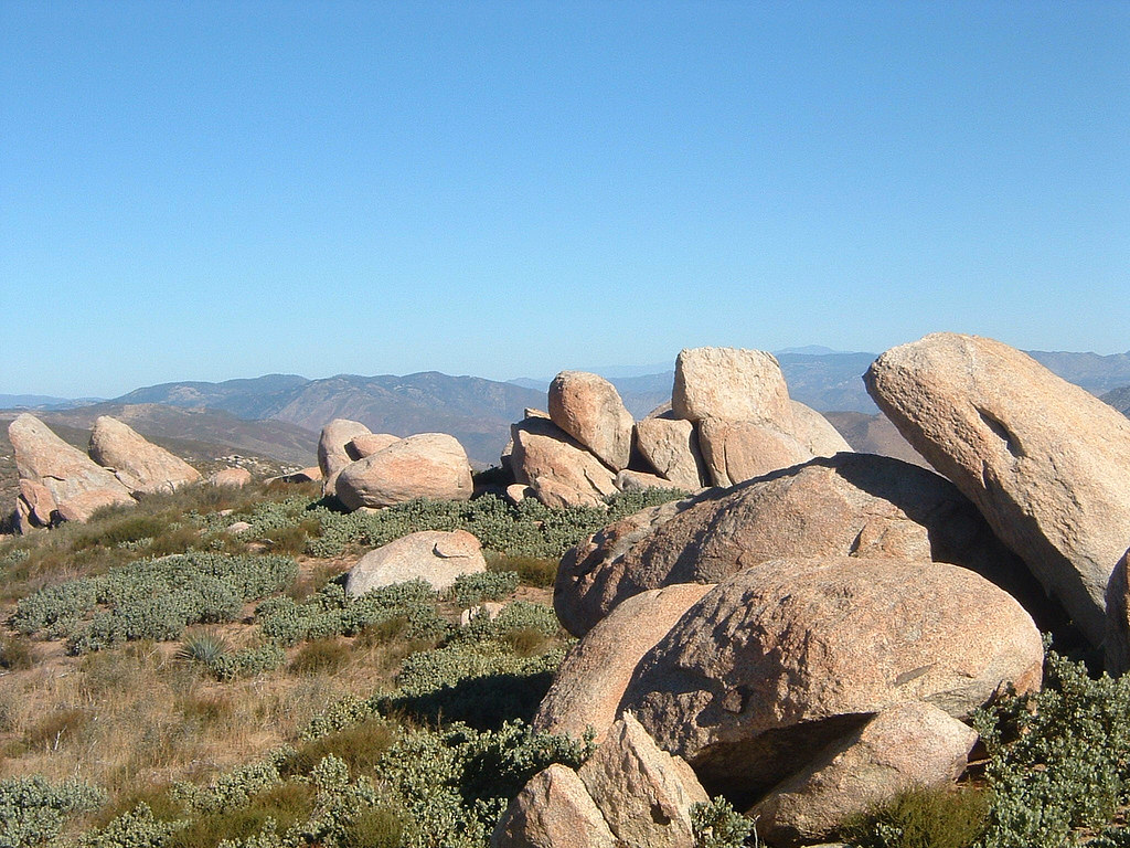 Pacific Crest National Scenic Trail #2000HikingPhoto: lhogue46, CC BY 2.0 (via Flickr)~12 min drive
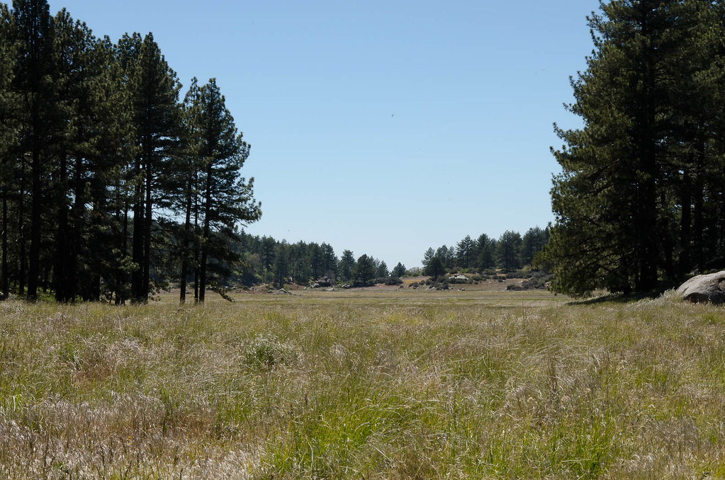 Agua Dulce TrailHikingPhoto: danhurt, CC BY-SA 2.0 (via Flickr)~2 min drive
Daily highs and lows, wind and the chance of precipitation at the summit and route start for the next 7 days, from the Open-Meteo model.
Questions about Kwaaymii Cultural: conditions, access, timing. Answers say when something isn't known.
Burnt Rancheria
Campground
Blue Jay Lodge
Restaurant
Cuyamaca Rancho Park Museum and Area Headquarters
Museum
Places © OpenStreetMap contributors
More in JulianNot on Roamze yet. Their page has how to reach them.
About 1.0 mi round trip.
About 63 ft of climbing round trip.
It is rated easy.
Year-round.
