Little Sandy
At a glance
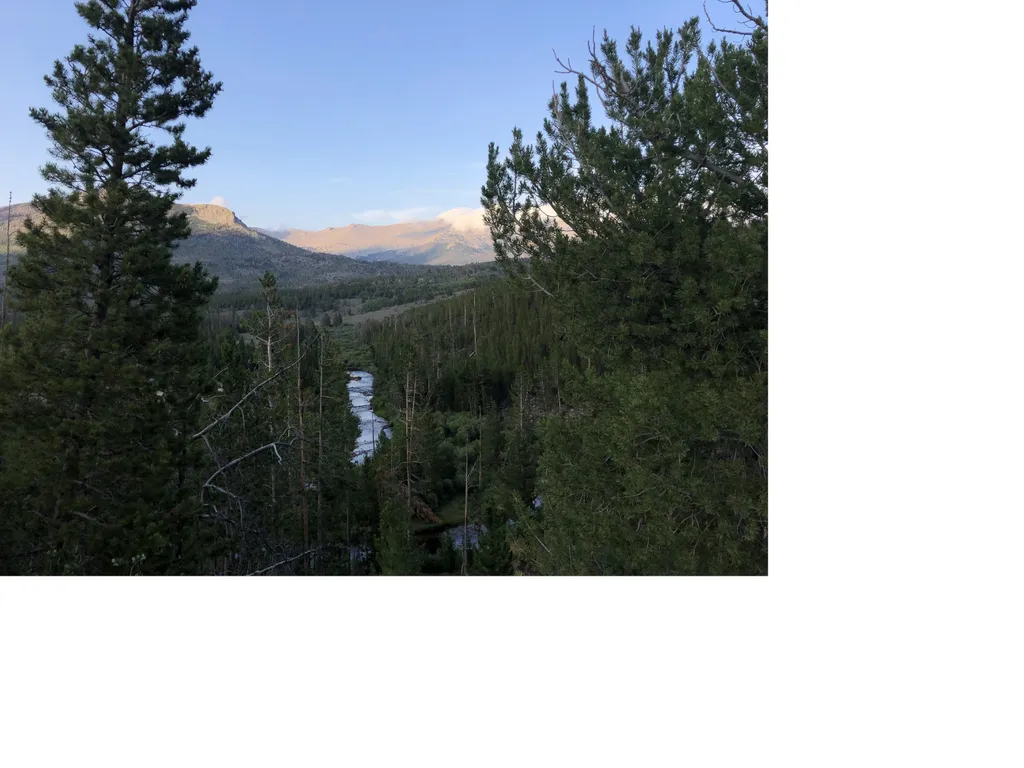
Little Sandy is a moderate out-and-back hike of about 4 miles in Wyoming's Bridger-Teton National Forest, within the Pinedale Ranger District. The trail runs on natural surface, and the Forest Service manages the land. The route gains about 230 feet, with the low point at 8,939 feet and the high at 9,162 feet. Horses are allowed, and bikes are not, so plan on going on foot or with a horse if you're riding. The trail is open from May through October, and the parking area is known as Little Sandy Trailhead. Summer is the most comfortable time to go. Typical averages from a nearby weather station in South Pass City show July highs around 78°F and lows near 41°F. That station sits well below the trail, so temperatures on the route run cooler. Blucher Creek Campground lies about 2 miles away. Sweetwater Gap and Sweetwater Guard Station Campground are both within 5 miles, and the Christina Pass hike is just over 5 miles off.
- round trip
- 4.1 mi
- climb
- 234 ft
- high point
- 9,162 ft
- route
- Out and back
- time
- About 1.5 hours
- best months
- Jun–Aug
Where it is: Pinedale Ranger District · Bridger-Teton National Forest
Near: Lander
Best time to visit Little Sandy
Best months: June–August. Best months have typical highs of 55–85 °F, lows of 30 °F or warmer (32 °F where the station doesn't record snow), at most one snowy day and no more than 12 wet days.
Jan
28°
2°
Feb
29°
4°
Mar
38°
12°
Apr
47°
19°
May
59°
28°
Jun
70°
35°
Jul
78°
41°
Aug
77°
38°
Sep
67°
31°
Oct
53°
23°
Nov
37°
12°
Dec
28°
3°
Typical high / low (°F) and days with rain or snow, 1991–2020. Measured at South Pass City, WY, 19.8 mi away at 7,840 ft. The station sits about 1,300 ft lower than this place, so expect it a little cooler here. This station doesn't record snowfall. Source: NOAA NCEI U.S. Climate Normals 1991–2020.
Been here? Tell people how it was.
- Sweetwater GapHiking~7 min drive
- Coon LakeHiking~10 min drive
- Tayo LakeHiking~13 min drive
- Wind River PeakHiking~16 min drive
- Ice LakesHiking~13 min drive
- Big Sandy/highline ConnectorHiking~15 min drive
- STOUGH CREEK CUTOFFHiking~15 min drive
- Fremont TrailHiking~16 min drive
- Big Sandy/fremont ConnectorHiking~16 min drive
- Stough Creek Cutoff TrailHiking~16 min drive
Also worth it near here
- Jensen MeadowsLake fishing~8 min drive
- Sweetwater Guard Station CampgroundCamping~8 min drive
 Atlantic PeakSummitPhoto: Michelle Buzalsky, US Forest Service, Public domain (via Wikimedia Commons)~13 min drive
 Haystack MountainRock climbingPhoto: Intermountain Forest Service, USDA Region 4 Photography, Public domain (via Wikimedia Commons)~16 min drive
Conditions and forecast
Caution todayAgency alerts are in effect for this areaUSFS · checked 19 min agoDaily highs and lows, wind and the chance of precipitation at Start for the next 7 days, from the Open-Meteo model.
Ask about this place
Questions about Little Sandy: conditions, access, timing. Answers say when something isn't known.
Local outfitters
- Yellowstone Trail RV Park42 mi away
Not on Roamze yet. Their page has how to reach them.
