White Pine
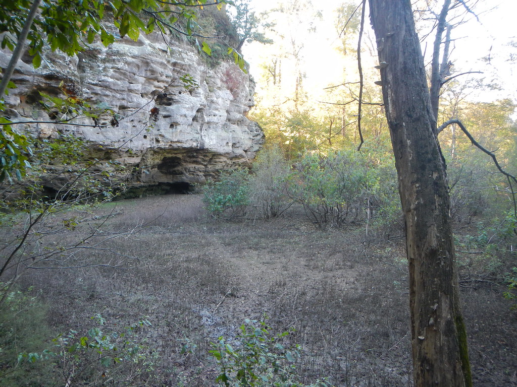
 Photo: Curtis Abert, CC BY 2.0 (via Flickr)
At a glance
White Pine is a 5.8-mile out-and-back hike in Shawnee National Forest, within the Mississippi Bluffs Ranger District of southern Illinois. The trail climbs steadily to a high point of about 779 feet, with a round-trip elevation gain of roughly 1,245 feet. The climb is moderate, and the trail's natural surface makes it suitable for horses, though bikes are not allowed. The route begins at the White Pine Trailhead, which is open year round. Plan for about 2.5 hours on foot, and note that the trail's steepest stretch comes around the 2.6-mile mark at about 16% grade. Spring and fall are the most comfortable times to go. Typical averages from a nearby weather station in Anna show October highs near 73°F with lows around 48°F, and April is similar at about 71°F and 46°F. Pine Hills Campground sits about 1.8 miles away, and the Godwin and Bridgeman hikes are both within 3 miles. For paddling, Clear Creek is about 5.6 miles off.
- round trip
- 5.8 mi
- climb
- 1,245 ft
- high point
- 779 ft
- route
- Out and back
- time
- About 2 hours
- best months
- Mid-Feb–mid-May, late Sep–mid-Dec
Where it is: Mississippi Bluffs Ranger District · Shawnee National Forest
Near: Cape Girardeau
Best weeks to go
Mid-February to mid-May and late September to mid-December are usually best for hiking here.
Typical highs of 48–80°F and lows of 30°F or warmer in those weeks. Rain falls on about 40% of days at the wettest of them, so plan around showers.
Typical weather: NOAA 1991–2020 normals at Anna 2 Nne, IL, 11 mi away. Not a forecast.
Typical weather by monthBest time to visit White Pine
Best months: March–May and October–December. Best months are the ones mostly made of the best weeks for hiking: typical temperatures in its comfortable range, few snowy days and not usually wet, judged with the same limits as our good-day forecasts.
Jan
45°
25°
9 wet
Feb
50°
29°
8 wet
Mar
61°
37°
10 wet
Apr
71°
46°
11 wet
May
79°
56°
12 wet
Jun
87°
65°
9 wet
Jul
90°
69°
8 wet
Aug
89°
67°
7 wet
Sep
83°
59°
7 wet
Oct
73°
48°
9 wet
Nov
59°
37°
10 wet
Dec
48°
30°
10 wet
Typical high / low (°F) and days with rain or snow, 1991–2020. Measured at Anna 2 Nne, IL, 11.4 mi away at 640 ft. This station doesn't record snowfall. Source: NOAA NCEI U.S. Climate Normals 1991–2020.
Been here? Tell people how it was.
 King HollowHikingPhoto: Curtis Abert, CC BY 2.0 (via Flickr)~5 min drive
 Inspiration PointHikingPhoto: Curtis Abert, CC BY 2.0 (via Flickr)~6 min drive
- 001M5HikingPhoto: Curtis Abert, CC BY 2.0 (via Flickr)~5 min drive
 Little Grand CanyonHikingPhoto: Curtis Abert, CC BY 2.0 (via Flickr)~16 min drive
 Lincoln MemorialHikingPhoto: usfs_Eastern_Region, Public Domain Mark (via Flickr)~18 min drive
 River to River Segment 7 - Alto Pass to Devil's BackboneHikingPhoto: USDAgov, Public Domain Dedication (CC0) (via Flickr)~14 min drive
- Little Cedar LakeHiking~13 min drive
 Little Grand CanyonHikingPhoto: Curtis Abert, CC BY 2.0 (via Flickr)~17 min drive
- Adt - Illinois (South) - J - Seg 3HikingPhoto: USDAgov, Public Domain Dedication (CC0) (via Flickr)~14 min drive
- Little Cedar LoopHiking~14 min drive
Conditions and forecast
Caution at last checkAgency alerts are in effect for this areaUSFS · checked 19 h agoDaily highs and lows, wind and the chance of precipitation at Start for the next 7 days, from the Open-Meteo model.
Ask about this place
Questions about White Pine: conditions, access, timing. Answers say when something isn't known.
