
Rocky Branch Shelter #1
Campground
< 0.1 mi from the trail
Stairs Col Trail is a short, easy out-and-back hike in the Saco Ranger District of White Mountain National Forest in New Hampshire, managed by the Forest Service. The trail is 1.4 miles long, with a total elevation gain of 556 feet, and it reaches a high point of 1,920 feet. The climb is rolling, and the steepest stretch comes at about 0.59 miles in, with a grade of 24 percent. Summer is the most comfortable time to go. Typical averages from the nearby Pinkham Notch weather station, at a similar elevation, show July highs around 75°F and lows near 53°F, while winter highs stay in the 20s. The trail is open year-round, and the trip takes about half a day. Rocky Branch Trail lies about a mile away, and Mount Parker Trail is about 1.5 miles off. Crawford Notch, a climbing area, is roughly 2.4 miles away, and Iron Mountain Trail is about 2.5 miles away.
Where it is: Saco Ranger District · White Mountain National Forest
Near: Bartlett
Best months: September. Best months have typical highs of 55–85 °F, lows of 30 °F or warmer (32 °F where the station doesn't record snow), at most one snowy day and no more than 12 wet days.
Jan
26°
6°
14 wet
Feb
28°
7°
13 wet
Mar
36°
15°
14 wet
Apr
49°
27°
13 wet
May
62°
39°
15 wet
Jun
70°
48°
14 wet
Jul
75°
53°
14 wet
Aug
74°
52°
13 wet
Sep
68°
45°
12 wet
Oct
54°
35°
14 wet
Nov
42°
24°
14 wet
Dec
31°
14°
16 wet
Typical high / low (°F) and days with rain or snow, 1991–2020. Measured at Pinkham Notch, NH, 7.4 mi away at 2,025 ft. This station doesn't record snowfall. Source: NOAA NCEI U.S. Climate Normals 1991–2020.
Been here? Tell people how it was.
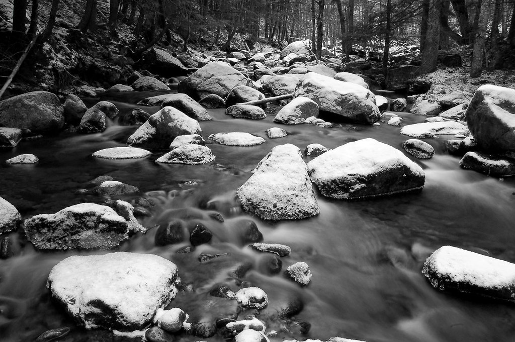 Ellis River TrailHikingPhoto: DACphoto, CC BY 2.0 (via Flickr)~6 min drive
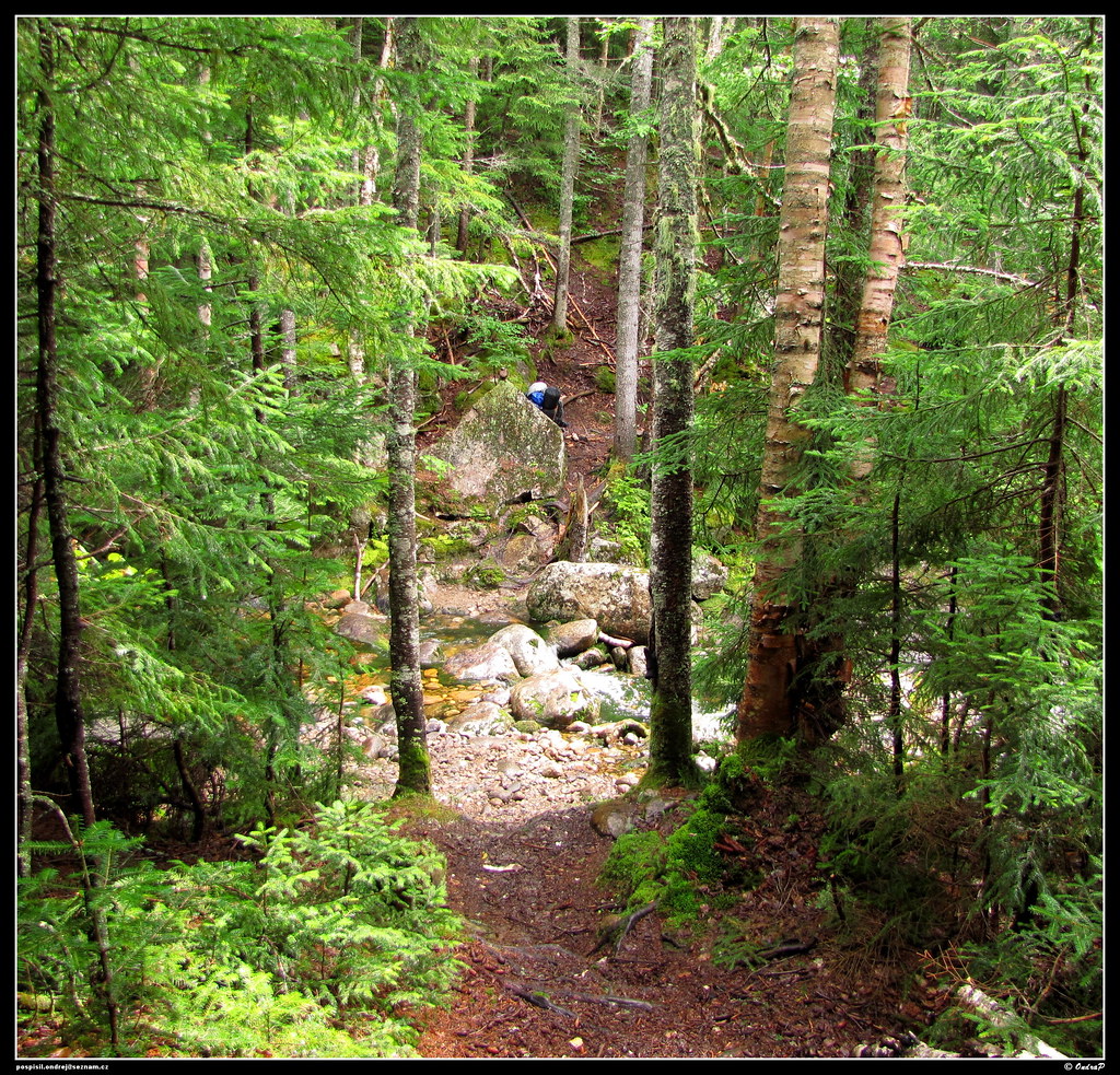 Mount Clinton TrailHikingPhoto: ondraposp, CC BY-SA 2.0 (via Flickr)~7 min drive
 Dry River TrailHikingPhoto: ondraposp, CC BY-SA 2.0 (via Flickr)~6 min drive
 Frankenstein Cliff TrailHikingPhoto: Bob Linsdell, CC BY 2.0 (via Flickr)~8 min driveBemis Brook TrailHikingPhoto: Bob Linsdell, CC BY 2.0 (via Flickr)~8 min drive
 Nancy Pond TrailHikingPhoto: string_bass_dave, CC BY-SA 2.0 (via Flickr)~8 min drive
 Arethusa FallsHikingPhoto: Bob Linsdell, CC BY 2.0 (via Flickr)~9 min drive
Daily highs and lows, wind and the chance of precipitation at Start for the next 7 days, from the Open-Meteo model.
Questions about Stairs Col Trail: conditions, access, timing. Answers say when something isn't known.
Rocky Branch Shelter #1
Campground
 If it rainsKen Gallager, CC BY-SA 4.0 · Wikimedia Commons
Places © OpenStreetMap contributors · Photos: Ken Gallager, CC BY-SA 4.0 (commons)
More in North Conway