Mildred Lakes
Campground
2.1 mi from the trail
Greyhorse is a moderate out-and-back hike in California's Tahoe National Forest, within the American River Ranger District. The trail starts at Shanks Cove Trailhead and climbs from about 6,686 feet to a high point of 8,023 feet, with a total elevation gain of 1,327 feet over a route of about 3.9 miles. The trail is natural-surfaced and does not allow bikes. The hike is open year-round, and the trailhead is a natural base for exploring the surrounding area. For a longer outing, the Buckskin hike lies about 1.7 miles away, and the Hellhole hike is about 2.8 miles off. Paddlers can head to Five Lakes Creek, about 2.1 miles away, or the Middle Fork American River, about 3.6 miles away.
Where it is: American River Ranger District · Tahoe National Forest
Near: Truckee
Been here? Tell people how it was.
 Center WallRock climbingPhoto: Ken Lund, CC BY-SA 2.0 (via Flickr)6 mi
 Shirley Canyon CliffsRock climbingPhoto: Ken Lund, CC BY-SA 2.0 (via Flickr)6.2 mi
 Five Lakes CreekHikingPhoto: schvin, CC BY 2.0 (via Flickr)~7 min driveHistoric Western States TrailHikingPhoto: schvin, CC BY 2.0 (via Flickr)~7 min drive
 Whiskey CreekHikingPhoto: ray_explores, CC BY 2.0 (via Flickr)~7 min drive
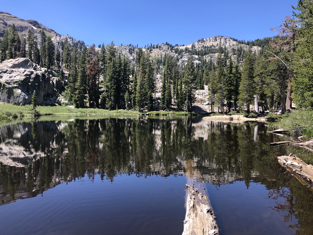 Shirley Lake TrailHikingPhoto: Ken Lund, CC BY-SA 2.0 (via Flickr)~10 min drive
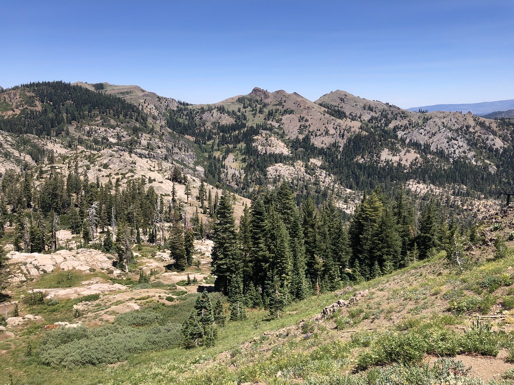 Tevis Cup TrailHikingPhoto: Ken Lund, CC BY-SA 2.0 (via Flickr)~9 min drive
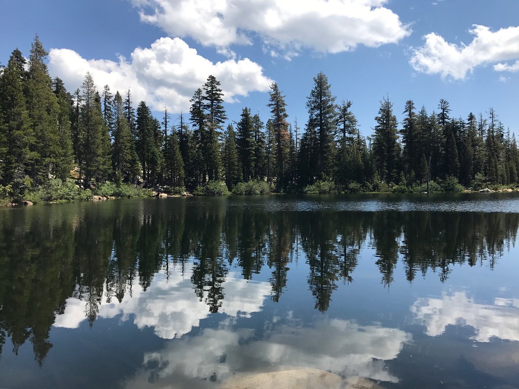 Whiskey Creek TrailHikingPhoto: Navin75, CC BY-SA 2.0 (via Flickr)~7 min drive
 Scott Peak TrailHikingPhoto: r0wb0t, CC BY-SA 2.0 (via Flickr)~11 min drive
 Western States TrailHikingPhoto: Ken Lund, CC BY-SA 2.0 (via Flickr)~10 min drive
Daily highs and lows, wind and the chance of precipitation at Start for the next 7 days, from the Open-Meteo model.
Questions about Greyhorse: conditions, access, timing. Answers say when something isn't known.
Mildred Lakes
Campground
The Arc
Restaurant
Places © OpenStreetMap contributors
More in Sunnyside-Tahoe CityNot on Roamze yet. Their page has how to reach them.
