Rio Chiquito
Campground
< 0.1 mi from the trail
Rio Chiquito is an out-and-back hike in the Camino Real Ranger District of Carson National Forest in northern New Mexico. The trail runs about 11.7 miles round trip, with a total elevation gain of 1,436 feet, from a low point of 9,078 feet to a high of 10,519 feet. The Forest Service manages the land. The trail is rated hard, and its natural surface makes it a ride for those on horseback or mountain bike as well as on foot. Bikes and horses are both allowed on this route. The open season runs from May 1 through October 31. Plan on a full day to cover the length and gain. Several other routes lie within a few miles, including the Sierra de Don Fernando Summit Trail, about 2.3 miles away, and the Paradise and Forest Trail 124 hikes. For an overnight base, La Sombra Campground sits about 5.8 miles away.
Where it is: Camino Real Ranger District · Carson National Forest
Near: Taos
Been here? Tell people how it was.
 Lake TrailHikingPhoto: Alexander Hatley, CC BY 2.0 (via Flickr)~12 min drive
 Devisadero LoopHikingPhoto: rogerostudio, CC BY-SA 2.0 (via Flickr)~16 min driveLady SlipperHikingPhoto: Alexander Hatley, CC BY 2.0 (via Flickr)~11 min driveEl Nogal Nature TrailHikingPhoto: rogerostudio, CC BY-SA 2.0 (via Flickr)~15 min driveOjitosHikingPhoto: rogerostudio, CC BY-SA 2.0 (via Flickr)~16 min drive
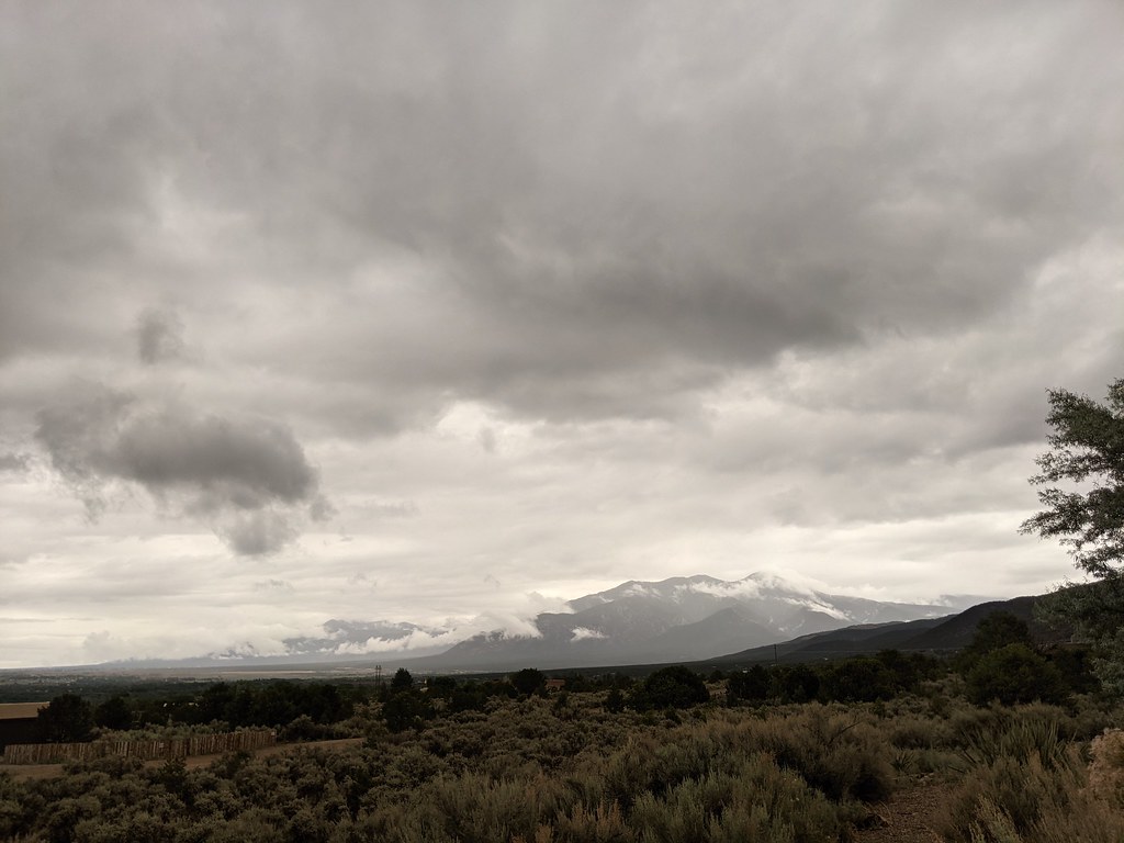 Dos Arroyos TrailHikingPhoto: rogerostudio, CC BY-SA 2.0 (via Flickr)~18 min drive
Daily highs and lows, wind and the chance of precipitation at Start for the next 7 days, from the Open-Meteo model.
Questions about Rio Chiquito: conditions, access, timing. Answers say when something isn't known.
Rio Chiquito
Campground
Enchanted Circle Brewing Company
Bar
 If it rainsKhlnmusa, CC BY-SA 3.0 · Wikimedia Commons
Places © OpenStreetMap contributors · Photos: Khlnmusa, CC BY-SA 3.0 (commons)
More in Arroyo SecoNot on Roamze yet. Their page has how to reach them.
