Hitchiti Trail
At a glance
Hitchiti Trail is a 4.8-mile out-and-back hike on natural surface in the Oconee Ranger District of the Chattahoochee-Oconee National Forests in Georgia. The trail starts at about 385 feet and reaches a high point of 405 feet, with an elevation gain of about 110 feet one way. The route is rated moderate, and the steepest section comes at about 1.9 miles, where the grade reaches 8 percent. The trail is open year-round and is managed by the Forest Service. Bicycles are allowed, so riders can join hikers on the route. Spring and fall are the most comfortable seasons. Typical averages from a nearby weather station in Monticello, Georgia, put April highs around 77°F and October highs around 78°F, while July averages about 92°F. The Hitchiti Boulders and Boulder 3 climbing areas sit just a few tenths of a mile from the trail. Hitchiti Loop Trail is about a mile away, and Double Bridges Trail is roughly 2.4 miles off.
- round trip
- 4.8 mi
- climb
- 557 ft
- high point
- 405 ft
- route
- Out and back
- time
- About 2 hours
- best months
- Feb–May, Oct–Dec
Where it is: Oconee Ranger District · Chattahoochee-Oconee National Forests
Near: Macon-Bibb County
Best time to visit Hitchiti Trail
Best months: February–May and October–December. Best months have typical highs of 55–85 °F, lows of 30 °F or warmer (32 °F where the station doesn't record snow), at most one snowy day and no more than 12 wet days.
Jan
57°
29°
8 wet
Feb
61°
32°
7 wet
Mar
69°
38°
7 wet
Apr
77°
45°
6 wet
May
84°
55°
6 wet
Jun
89°
64°
8 wet
Jul
92°
68°
8 wet
Aug
91°
67°
7 wet
Sep
86°
60°
6 wet
Oct
78°
48°
5 wet
Nov
68°
37°
6 wet
Dec
60°
32°
7 wet
Typical high / low (°F) and days with rain or snow, 1991–2020. Measured at Monticello, GA, 21.5 mi away at 518 ft. This station doesn't record snowfall. Source: NOAA NCEI U.S. Climate Normals 1991–2020.
Closures we've recorded since August 2026
Spring 2026 Forest-wide Fire Restrictions
Chattahoochee-Oconee National Forests · Order dated April 23, 2026; seen Aug 23, 2026 → lifted Oct 13, 2026 · Forest Service
Been here? Tell people how it was.
- Boulder 3Rock climbing0.2 mi
- Hitchiti BouldersRock climbing0.3 mi
- Boulder 1Rock climbing0.3 mi
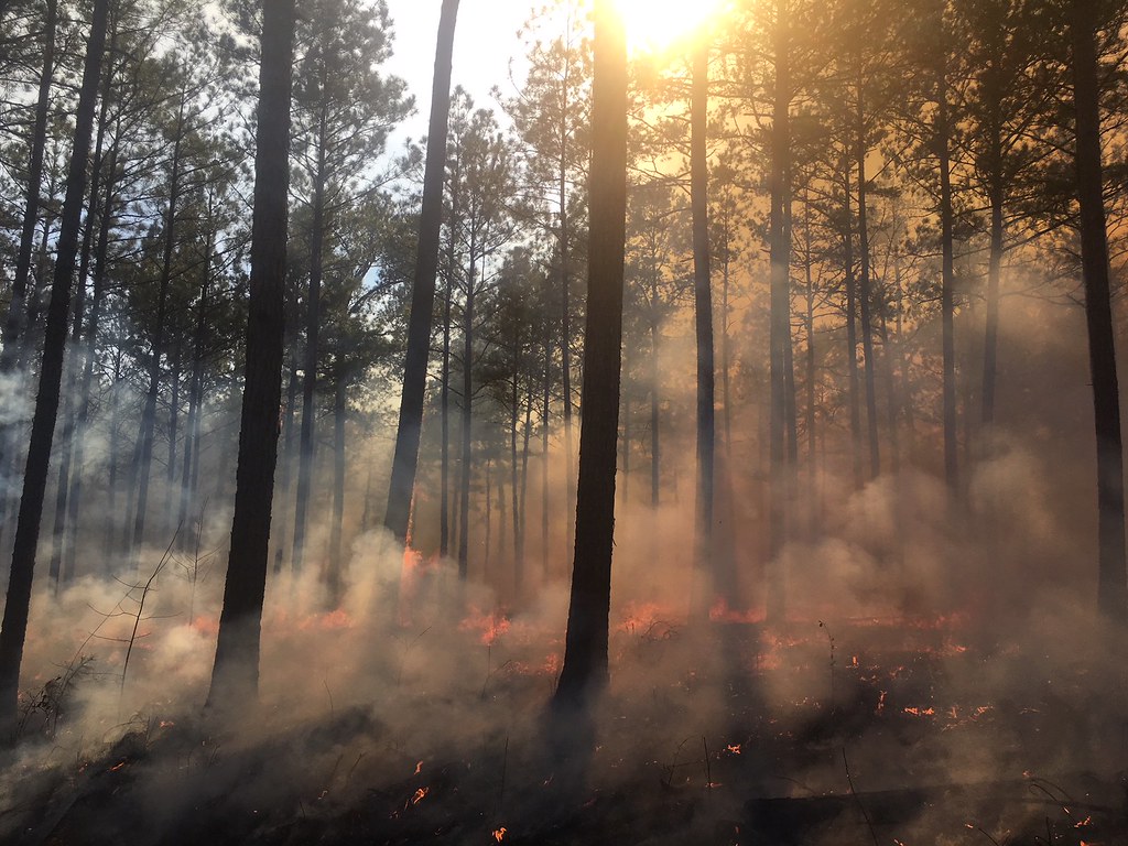 Hitchiti Loop TrailHikingPhoto: ChattOconeeNF, Public Domain Mark (via Flickr)1 mi
- Double Bridges TrailHiking2.4 mi
- Juliette BouldersRock climbing2.8 mi
- Little Rock Nature TrailHiking5 mi
 Creek TrailHikingPhoto: Paul.J.Hurtado, CC BY-SA 2.0 (via Flickr)6.7 mi
- Hitchiti Loop TrailHikingPhoto: ChattOconeeNF, Public Domain Mark (via Flickr)~2 min drive
- Ocmulgee River Upper LoopHiking~19 min drive
- Creek TrailHikingPhoto: Paul.J.Hurtado, CC BY-SA 2.0 (via Flickr)~12 min drive
- Pig Trail - BlueHiking~21 min drive
- Red Cockaded Woodpecker TrailHikingPhoto: Paul.J.Hurtado, CC BY-SA 2.0 (via Flickr)~12 min drive
- Pine TrailHikingPhoto: Paul.J.Hurtado, CC BY-SA 2.0 (via Flickr)~12 min drive
 Coon Dog TrailHikingPhoto: ChattOconeeNF, CC BY 2.0 (via Flickr)~19 min drive
- Beck Bottom TrailHikingPhoto: ChattOconeeNF, CC BY 2.0 (via Flickr)~21 min drive
- Tributary 6 TrailHikingPhoto: ChattOconeeNF, CC BY 2.0 (via Flickr)~22 min drive
 Heritage TrailHikingPhoto: daveynin, CC BY 2.0 (via Flickr)~24 min drive
Conditions and forecast
Caution todayAgency alerts are in effect for this areaUSFS · checked 7 min agoDaily highs and lows, wind and the chance of precipitation at Start for the next 7 days, from the Open-Meteo model.
Ask about this place
Questions about Hitchiti Trail: conditions, access, timing. Answers say when something isn't known.
