
Lightning Point Group Campground
Campground
< 0.1 mi from the trail
Lightning Point Interpretive is an easy, out-and-back hike of about 1.9 miles in the Los Angeles Gateway Ranger District of Angeles National Forest in California. The trail rises about 437 feet from a low point near 5,743 feet to a high point of about 6,205 feet. The route is natural-surfaced and open year-round. Bikes are allowed, so the trail works for both hikers and riders. Spring and fall are the most comfortable times to go. Typical averages from the Mt Wilson weather station, about 12 miles away, show May highs near 70°F and October highs near 72°F, with only a few wet days in each. July and August run hotter, with highs in the mid-80s. Lightning Point Group Campground sits just 0.1 mile from the trail, and Messenger Flats campground is about 0.6 mile away. Arrastre Canyon is also about 0.6 mile off. Farther afield, Moody Canyon Truck Trail is about 2.8 miles away.
Where it is: Los Angeles Gateway Ranger District · Angeles National Forest
Near: Los Angeles
Mid-September to late June is usually best for hiking here.
Typical highs of 54–80°F and lows of 36°F or warmer in those weeks.
Typical weather: NOAA 1991–2020 normals at Mt Wilson Cbs, CA, 12 mi away. Not a forecast.
Typical weather by monthBest months: October–June. Best months are the ones mostly made of the best weeks for hiking: typical temperatures in its comfortable range, few snowy days and not usually wet, judged with the same limits as our good-day forecasts.
Jan
56°
38°
7 wet
Feb
55°
37°
8 wet
Mar
59°
39°
7 wet
Apr
63°
42°
4 wet
May
70°
48°
3 wet
Jun
79°
58°
1 wet
Jul
84°
64°
1 wet
Aug
85°
64°
1 wet
Sep
81°
59°
1 wet
Oct
72°
51°
3 wet
Nov
63°
43°
4 wet
Dec
55°
37°
7 wet
Typical high / low (°F) and days with rain or snow, 1991–2020. Measured at Mt Wilson Cbs, CA, 11.7 mi away at 5,710 ft. This station doesn't record snowfall. Source: NOAA NCEI U.S. Climate Normals 1991–2020.
Been here? Tell people how it was.
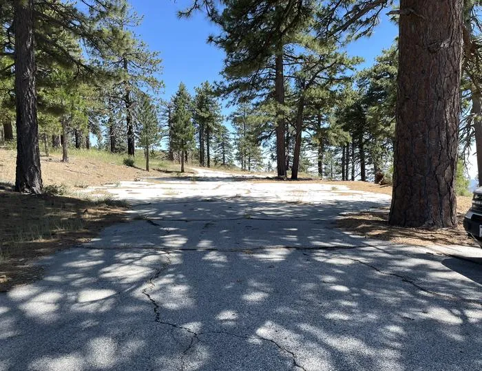 Lightning Point Group CampgroundCampingPhoto: Recreation.gov (RIDB) / public domain0.1 mi
 Big Tujunga CreekCanoeingPhoto: MajaTrochimczyk, CC BY 3.0 us (via Wikimedia Commons)5.8 mi
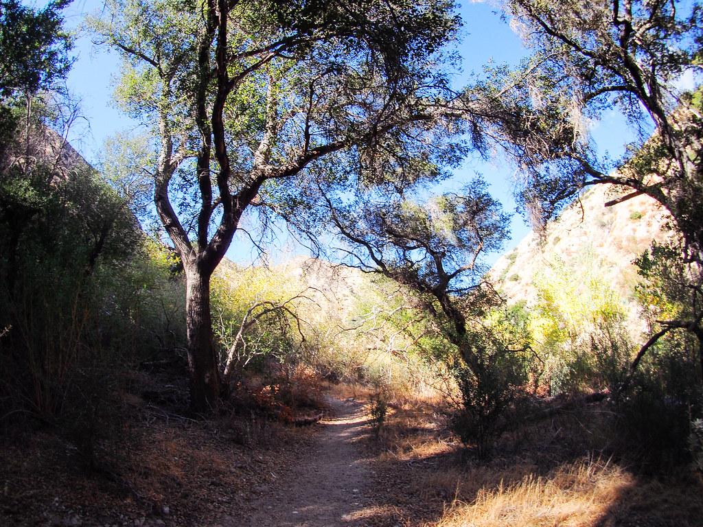 Gold Canyon Trail (UNMAINTAINED)HikingPhoto: JingKe888, CC BY 2.0 (via Flickr)~12 min drive
 Strawberry Spur TrailHikingPhoto: mjhbower, CC BY-SA 2.0 (via Flickr)~12 min drive
 Strawberry Peak TrailHikingPhoto: mjhbower, CC BY-SA 2.0 (via Flickr)~12 min drive
 Trail Canyon TrailHikingPhoto: JingKe888, CC BY 2.0 (via Flickr)~10 min driveStrawberry PeakHikingPhoto: mjhbower, CC BY-SA 2.0 (via Flickr)~14 min drive
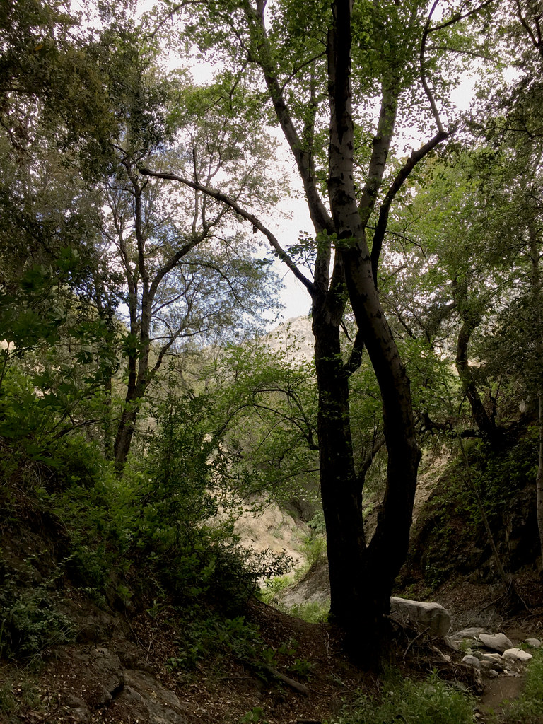 Hoyt Mt. to Pines Picnic TrailHikingPhoto: cdsessums, CC BY-SA 2.0 (via Flickr)~12 min drive
 Santa Clara Truck TrailHikingPhoto: Kevin M. Gill, CC BY 2.0 (via Flickr)~14 min driveColby CanyonHikingPhoto: mjhbower, CC BY-SA 2.0 (via Flickr)~12 min drive
 Old Mt Lukens TrailHikingPhoto: mjhbower, CC BY-SA 2.0 (via Flickr)~14 min driveNature's Canteen TrailHikingPhoto: mjhbower, CC BY-SA 2.0 (via Flickr)~13 min drive
Daily highs and lows, wind and the chance of precipitation at Start for the next 7 days, from the Open-Meteo model.
Questions about Lightning Point Interpretive: conditions, access, timing. Answers say when something isn't known.
Lightning Point Group Campground
Campground
'49er Saloon
Restaurant
 If it rainsDoncram, CC BY-SA 3.0 · Wikimedia Commons
Historic American Craftsman era stone building in Tujunga, Los Angeles County, California
Places © OpenStreetMap contributors · Photos: Doncram, CC BY-SA 3.0 (commons)
More in Acton