Free — you'll pick up right here.
Watch this water
Sign up to watch it — saving subscribes you to gate, closure and report changes.
Arizona
Tusayan Ranger District
No verdict for this water
We won't guess. Here is exactly what we do and don't know.
What we do know
Inside Kaibab National Forest
2 managing-area boundaries mapped — agency alerts for them feed this page automatically.
Boundary data
What's missing
No access route mapped
We don't yet know which road reaches this trailhead, so we can't tell you if it's gated.
Nobody's filed a report here yet — be the first.
Why you'll love it
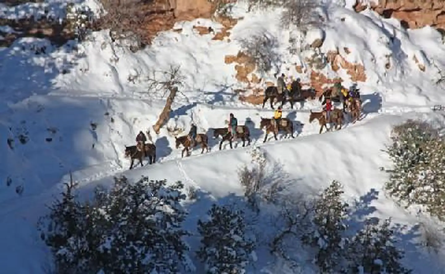
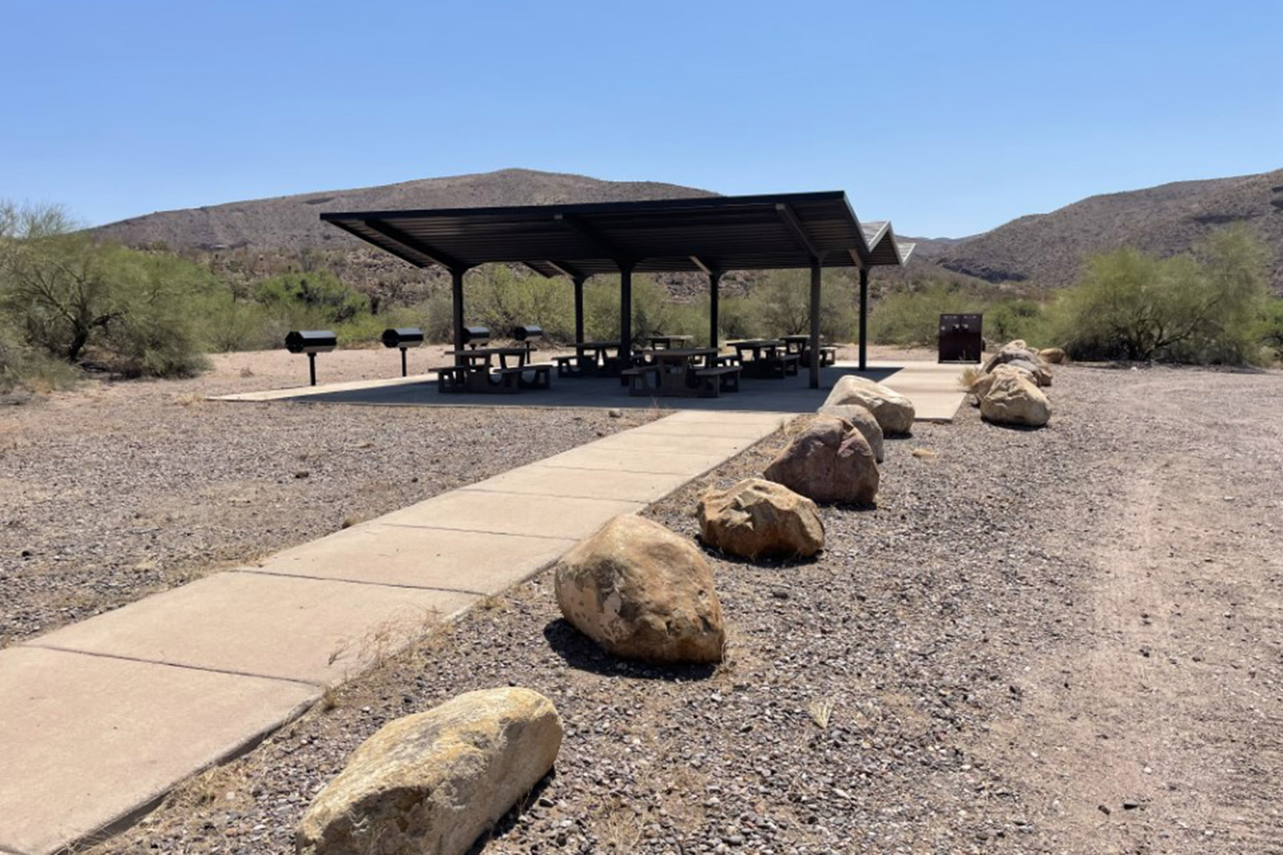
Here's your day on the water, mapped
Tusayan Ranger District
AI-suggested draft · review before you go
Gear for the day
Photos
Directions & GPX
About this water
The Tusayan Ranger District is on the northern portion of the Coconino Plateau. It is bordered on the north by Grand Canyon National Park, on the east by the Navajo Indian Reservation, on the south by private and State lands, and on the west by the Havasupai Indian Reservation.The total area of the Tusayan Ranger District is about 360,000 acres. It lies completely within the watershed of the Colorado River. Elevations range from 5,700 feet in the northeast portion of the Upper Basin to 7,500 feet at Lockett Lake.The topography of the district is, for the most part, gentle. The exceptions are several steep, intermittent drainages, the Coconino Rim and Red Butte. Along the Coconino Rim, slopes drop abruptly into the Upper Basin. Red Butte reaches an elevation of 7,324 feet.
Add to a trip & share
Keep exploring — more waters worth the drive
El Tovar Hotel
~8 min drive
A worthwhile stop near Arizona.
Kaibab Lake Sites And Group Areas
~1h 24m drive
A worthwhile stop near Arizona.
Russell Tank
~27 min drive
A worthwhile stop near Arizona.
Lower Basin Tank
~35 min drive
A worthwhile stop near Arizona.
Number Eleven Tank
~56 min drive
A worthwhile stop near Arizona.
Howard Lake
~57 min drive
A worthwhile stop near Arizona.
Howard Lake
~58 min drive
A worthwhile stop near Arizona.
Eugene Gordy Tank
~60 min drive
A worthwhile stop near Arizona.
Large Whiskers Tank
~1h 1m drive
A worthwhile stop near Arizona.
Smoot Lake
~1h 1m drive
A worthwhile stop near Arizona.

