Tri-State Peak
At a glance
Tri-State Peak is a summit of 2,006 feet in Kentucky, within Cumberland Gap National Historical Park. The nearest town is Cumberland Gap, Tennessee, about half a mile away across the state line. The peak sits among a cluster of trails. The Cumberland Trail and the Tri State Trail both pass within about a tenth of a mile, and the Harlan Road Trail and the Wilderness Road Trail are each about 0.2 miles off. That makes it easy to fold into a longer walk through the park. For comfortable weather, aim for late spring or early fall. Typical averages from a nearby weather station in Tazewell, Tennessee, run to highs around 75°F in May and 79°F in September. That station sits roughly 640 feet lower than the summit, so temperatures on the peak run cooler.
- summit
- 2,006 ft
- way up
- 1
- best months
- Aug–Nov
Where it is: Cumberland Gap National Historical Park
Near: Middlesborough
Best time to visit Tri-State Peak
Best months: August–November. Best months have typical highs of 55–85 °F, lows of 30 °F or warmer (32 °F where the station doesn't record snow), at most one snowy day and no more than 12 wet days.
Jan
44°
23°
14 wet · 2 snow
Feb
48°
26°
13 wet · 2 snow
Mar
57°
31°
14 wet · 1 snow
Apr
67°
40°
13 wet
May
75°
50°
13 wet
Jun
82°
59°
13 wet
Jul
85°
63°
13 wet
Aug
84°
62°
11 wet
Sep
79°
55°
10 wet
Oct
69°
41°
10 wet
Nov
57°
31°
11 wet
Dec
47°
26°
14 wet · 1 snow
Typical high / low (°F) and days with rain or snow, 1991–2020. Measured at Tazewell, TN, 11.4 mi away at 1,365 ft. The station sits about 600 ft lower than this place, so expect it a little cooler here. Source: NOAA NCEI U.S. Climate Normals 1991–2020.
Been here? Tell people how it was.
Map © Mapbox © OpenStreetMap contributors - High Point1,476 ft · Tennessee4 routes34 mi away
 House Mountain2,112 ft · Tennessee1 route34 mi awayPhoto: ChristopherM, CC BY-SA 3.0 (via Wikimedia Commons)
- Reservoir Hill1,372 ft · Tennessee1 route35 mi away
- Hoskins Knob1,617 ft · Kentucky1 route36 mi away
- Stone Mountain3,136 ft · Virginia2 routes45 mi away
- Cottonpatch Knob1,378 ft · Kentucky1 route47 mi away
 Cumberland TrailHikingPhoto: w_lemay, CC BY-SA 2.0 (via Flickr)0.1 mi
- Tri State TrailHikingPhoto: w_lemay, CC BY-SA 2.0 (via Flickr)0.1 mi
 Harlan Road TrailHikingPhoto: w_lemay, CC BY-SA 2.0 (via Flickr)0.2 mi
- Wilderness Road TrailHikingPhoto: w_lemay, CC BY-SA 2.0 (via Flickr)0.2 mi
- Whitt's Ridge TrailHiking0.4 mi
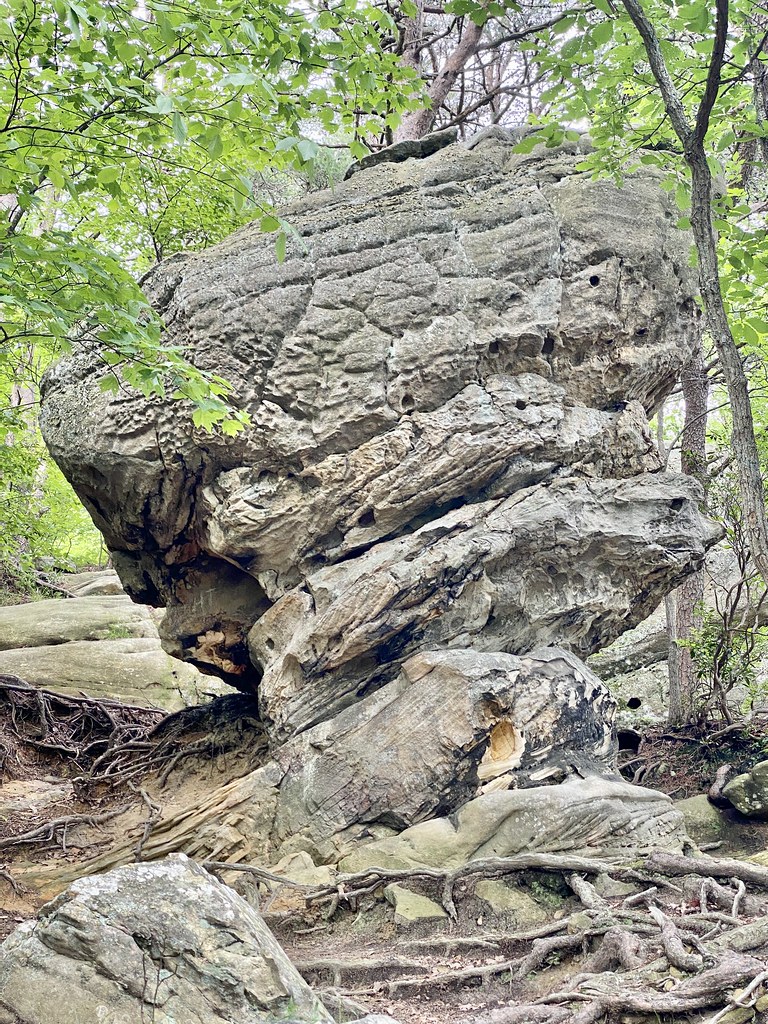 Pinnacle Overlook TrailHikingPhoto: w_lemay, CC BY-SA 2.0 (via Flickr)0.5 mi
 Object Lesson RoadHikingPhoto: w_lemay, CC BY-SA 2.0 (via Flickr)0.6 mi
- Ft. McCook TrailHikingPhoto: w_lemay, CC BY-SA 2.0 (via Flickr)0.6 mi
- House MountainSummitPhoto: ChristopherM, CC BY-SA 3.0 (via Wikimedia Commons)~59 min drive
- High PointSummit~58 min drive
- Reservoir HillSummit~59 min drive
- Hoskins KnobSummit~1h 2m drive
- Stone MountainSummit~1h 18m drive
- Cottonpatch KnobSummit~1h 21m drive
- Joel Dyer MountainSummit~1h 22m drive
- High ButteSummit~1h 25m drive
Conditions and forecast
Daily highs and lows, wind and the chance of precipitation at the summit and route start for the next 7 days, from the Open-Meteo model.
Questions about Tri-State Peak
How tall is Tri-State Peak?
2,006 ft (611 m).
How many routes go to the summit of Tri-State Peak?
One: Tri State Trail.
Ask about this place
Questions about Tri-State Peak: conditions, access, timing. Answers say when something isn't known.
