The Pines
 Photo: Peter Fisher-Duke (z…, CC BY-SA 3.0 (via Wikimedia Commons)
At a glance
The Pines is a Forest Service campground in the Eastern Divide Ranger District of the George Washington and Jefferson National Forest in Virginia. It sits within the national forest's recreation sites, and the land is managed by the Forest Service. The site has no fees, and the only amenity is vault toilets. That makes it a simple base for an overnight stay, with no need to plan around a fee or a full set of facilities. For comfortable weather, aim for late spring or early fall. Typical averages from a nearby weather station show May highs around 74°F and September highs around 77°F, with September also seeing the fewest wet days of the year. Several trails start close by. Lipes Branch is just 0.2 miles away, and Bald Mountain is about 1.2 miles off. Fenwick Wetlands and Fenwick Nature Walk are both within about 3 miles.
- season
- April 1 - December 7
- best months
- Apr, Jun–Oct
Where it is: Eastern Divide Ranger District · George Washington and Jefferson National Forest
Near: Roanoke
Best time to visit The Pines
Best months: April and June–October. Best months have typical highs of 55–85 °F, lows of 30 °F or warmer (32 °F where the station doesn't record snow), at most one snowy day and no more than 12 wet days.
Jan
42°
23°
9 wet
Feb
45°
24°
9 wet
Mar
54°
30°
11 wet
Apr
66°
39°
12 wet
May
74°
48°
14 wet
Jun
81°
57°
12 wet
Jul
84°
61°
12 wet
Aug
83°
60°
11 wet
Sep
77°
53°
8 wet
Oct
67°
42°
9 wet
Nov
55°
31°
9 wet
Dec
45°
26°
10 wet
Typical high / low (°F) and days with rain or snow, 1991–2020. Measured at Covington Fltr Plt, VA, 15 mi away at 1,244 ft. This station doesn't record snowfall. Source: NOAA NCEI U.S. Climate Normals 1991–2020.
Been here? Tell people how it was.
- Lipes BranchHiking0.2 mi
- Bald MountainHiking1.2 mi
- Fenwick WetlandsHiking2.4 mi
- Fenwick Nature WalkHiking2.7 mi
- Children's ForestHiking2.9 mi
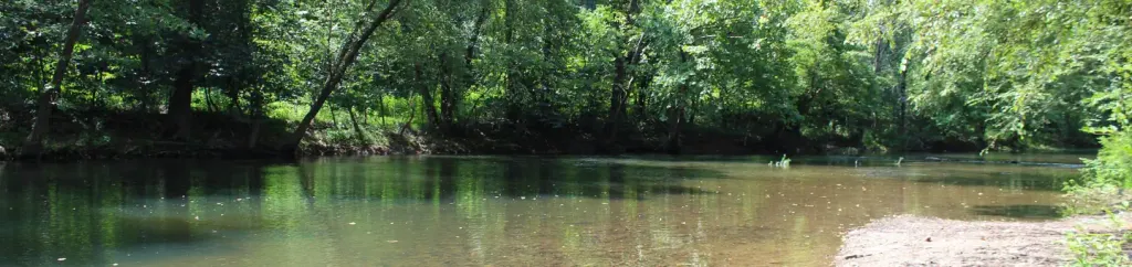 Craig Creek Recreation AreaCampingPhoto: Recreation.gov (RIDB) / public domain5.6 mi
- Shawvers RunRock climbing7.2 mi
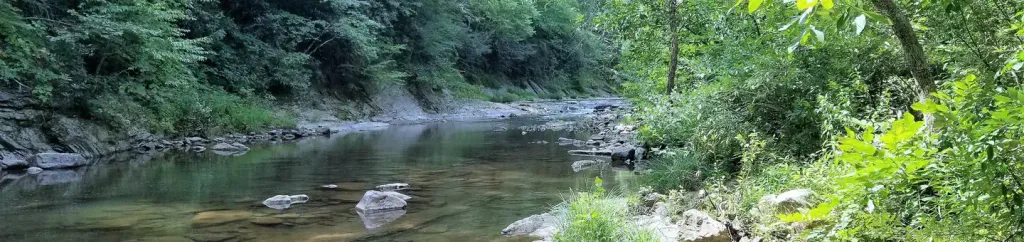 Steel Bridge CampgroundCampingPhoto: Recreation.gov (RIDB) / public domain8.3 mi
- Craig Creek Recreation AreaCamping~10 min drive
- Hopkins Mountain Fireman CabinHut camping~44 min drive
 Craig CreekCampingPhoto: Peter Fisher-Duke (z…, CC BY-SA 3.0 (via Wikimedia Commons)~11 min drive
- Steel Bridge CampgroundCamping~14 min drive
 Sarver Hollow a.t. ShelterCampingPhoto: Idawriter, CC BY-SA 3.0 (via Wikimedia Commons)~38 min drive
 Laurel Creek a.t. ShelterCampingPhoto: Idawriter, CC BY-SA 3.0 (via Wikimedia Commons)~43 min drive
 War Spur ShelterCampingPhoto: Idawriter, CC BY-SA 3.0 (via Wikimedia Commons)~45 min drive
 Straight Branch Iron Mountain ShelterCampingPhoto: Nyttend, Public domain (via Wikimedia Commons)~28 min drive
- Pickle Branch ShelterCampingPhoto: Nyttend, Public domain (via Wikimedia Commons)~28 min drive
 Caldwell FieldsCampingPhoto: Jerrye & Roy Klotz, MD, CC BY-SA 4.0 (via Wikimedia Commons)~39 min drive
Conditions and forecast
Caution at last checkAgency alerts are in effect for this areaUSFS · checked 23 h agoDaily highs and lows, wind and the chance of precipitation at The Pines for the next 7 days, from the Open-Meteo model.

Ask about this place
Questions about The Pines: conditions, access, timing. Answers say when something isn't known.
- At 1,000 ft
- Eastern Divide Ranger DistrictGeorge Washington and Jefferson National Forest
Local outfitters
- Twin River Outfitters22 mi away
Not on Roamze yet. Their page has how to reach them.
