Summit Camp
Campground
1.3 mi from the trail
Summit is a short, easy out-and-back hike in the Bass Lake Ranger District of Sierra National Forest in California, managed by the Forest Service. The trail is about 1.3 miles long, with a total elevation gain of 342 feet, and it reaches a high point of 4,775 feet. The climb is front-loaded, with the steepest stretch at about 0.22 miles from the start, where the grade reaches 19 percent. The most comfortable months for a visit are July and August, when typical averages from a nearby weather station run around 80°F for highs and 49 to 51°F for lows, with only about one wet day a month. Winter is much colder, with typical January highs near 45°F and lows around 27°F. The trip takes about half an hour, so it works well as a quick outing. Colonel Trail and Mountain Trail are both within about a mile and a half, and Mount Savage offers climbing about 2.4 miles away. Wawona Campground, roughly 3.4 miles off, is the closest place to camp.
Where it is: Bass Lake Ranger District · Sierra National Forest
Near: Wawona
Best months: May–October. Best months have typical highs of 55–85 °F, lows of 30 °F or warmer (32 °F where the station doesn't record snow), at most one snowy day and no more than 12 wet days.
Jan
45°
27°
9 wet
Feb
46°
27°
9 wet
Mar
50°
28°
10 wet
Apr
55°
31°
7 wet
May
63°
37°
5 wet
Jun
73°
44°
2 wet
Jul
80°
51°
1 wet
Aug
80°
49°
1 wet
Sep
75°
45°
2 wet
Oct
64°
37°
4 wet
Nov
53°
30°
6 wet
Dec
44°
26°
9 wet
Typical high / low (°F) and days with rain or snow, 1991–2020. Measured at So Entrance Yosemite Np, CA, 3.1 mi away at 5,047 ft. This station doesn't record snowfall. Source: NOAA NCEI U.S. Climate Normals 1991–2020.
Been here? Tell people how it was.
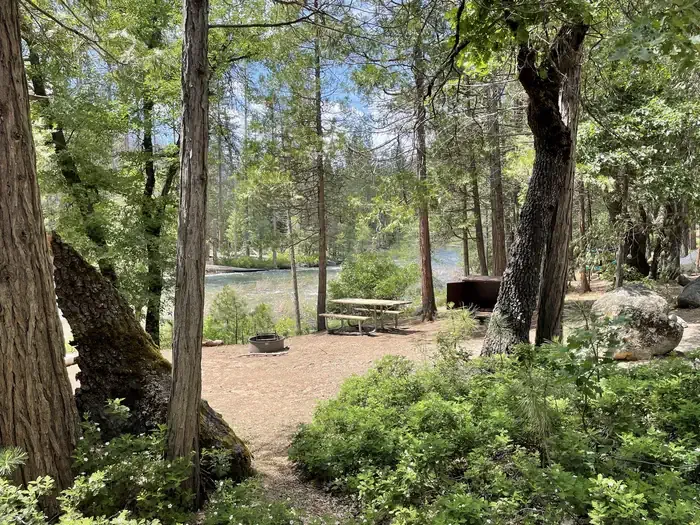 Wawona CampgroundCampingPhoto: Recreation.gov (RIDB) / public domain3.4 mi
 Summerdale CampgroundCampingPhoto: Recreation.gov (RIDB) / public domain3.9 mi
 Wawona TrailHikingPhoto: RuggyBearLA, CC BY 2.0 (via Flickr)~6 min drive
 Wawona Swinging Bridge TrailHikingPhoto: Bmdavll (talk · contribs), CC BY-SA 3.0 (via Wikimedia Commons)~6 min drive
 Perimeter TrailHikingPhoto: Capt' Gorgeous, CC BY 2.0 (via Flickr)~8 min drive
 Washburn TrailHikingPhoto: Capt' Gorgeous, CC BY 2.0 (via Flickr)~8 min drive
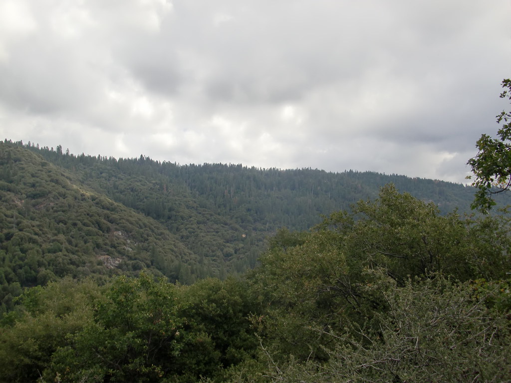 Downslope TrailHikingPhoto: Bluedevil266, CC BY 2.0 (via Flickr)~15 min driveGrizzly Giant Loop TrailHikingPhoto: Capt' Gorgeous, CC BY 2.0 (via Flickr)~8 min driveDeadman TrailHikingPhoto: Bluedevil266, CC BY 2.0 (via Flickr)~15 min drive
Also worth it near here
 Wawona CampgroundCampingPhoto: niiicedave — CC BY-SA 2.0 (via Flickr)~3 min drive
 Chilnualna FallWaterfallPhoto: Ben Lane, CC BY-SA 2.5 (via Wikimedia Commons)~8 min drive
 Badger Pass Ski AreaDownhill skiingPhoto: peterparr, Public domain (via Wikimedia Commons)~16 min drive
Daily highs and lows, wind and the chance of precipitation at Start for the next 7 days, from the Open-Meteo model.
Questions about Summit: conditions, access, timing. Answers say when something isn't known.
Summit Camp
Campground
Wawona Hotel Dining Room
Restaurant
 If it rainsWearsunscreen, CC BY-SA 3.0 · Wikimedia Commons
Open air museum in California
Places © OpenStreetMap contributors · Photos: Wearsunscreen, CC BY-SA 3.0 (commons)
More in Yosemite ValleyNot on Roamze yet. Their page has how to reach them.
