Sugar Creek Mountain
At a glance
Sugar Creek Mountain is a summit of 4,509 feet in the Cranberry Wilderness, part of the Gauley Ranger District of Monongahela National Forest in West Virginia. The nearest town is Marlinton, about 11 miles away. Summer is the most comfortable time to visit. Typical averages from the nearby Snowshoe weather station, at a similar elevation, show July highs around 70°F with lows near 55°F, while winter highs stay near freezing. Several trails lie within about 3 miles, including Tea Creek Mountain Trail #452, Williams River Trail #487 and Black Mountain Trail. Tea Creek Campground is about 3 miles away.
- summit
- 4,509 ft
- way up
- 1
- best months
- Early Jun–early Nov, early Apr–mid-May
Where it is: Cranberry Wilderness · Gauley Ranger District
Near: Marlinton · 10.6 mi
Best weeks to go
Early June to early November and early April to mid-May are usually best for the summit here.
Typical highs of 47–70°F and lows of 32°F or warmer in those weeks. Rain falls on about 60% of days at the wettest of them, so plan around showers.
Typical weather: NOAA 1991–2020 normals at Snowshoe, WV, 15 mi away. Not a forecast.
Typical weather by monthBest time to visit Sugar Creek Mountain
Best months: April and June–October. Best months are the ones mostly made of the best weeks for the summit: typical temperatures in its comfortable range, few snowy days and not usually wet, judged with the same limits as our good-day forecasts.
Jan
30°
14°
23 wet
Feb
32°
16°
19 wet
Mar
39°
23°
20 wet
Apr
51°
33°
18 wet
May
60°
43°
18 wet
Jun
67°
51°
17 wet
Jul
70°
55°
18 wet
Aug
69°
55°
17 wet
Sep
64°
49°
15 wet
Oct
53°
38°
15 wet
Nov
42°
27°
17 wet
Dec
34°
20°
21 wet
Typical high / low (°F) and days with rain or snow, 1991–2020. Measured at Snowshoe, WV, 15.3 mi away at 4,847 ft. This station doesn't record snowfall. Source: NOAA NCEI U.S. Climate Normals 1991–2020.
Been here? Tell people how it was.
Map © Mapbox © OpenStreetMap contributors - Tea Creek Mountain4,541 ft · West Virginia1 route5.2 mi away
- Red Spruce Knob4,701 ft · West Virginia1 route5.5 mi away
- High Rock4,416 ft · West Virginia1 route7.5 mi away
- Blue Knob4,403 ft · West Virginia2 routes9.1 mi away
- Thorny Creek Mountain3,438 ft · West Virginia3 routes17 mi away
- Thomas Mountain3,380 ft · West Virginia1 route18 mi away
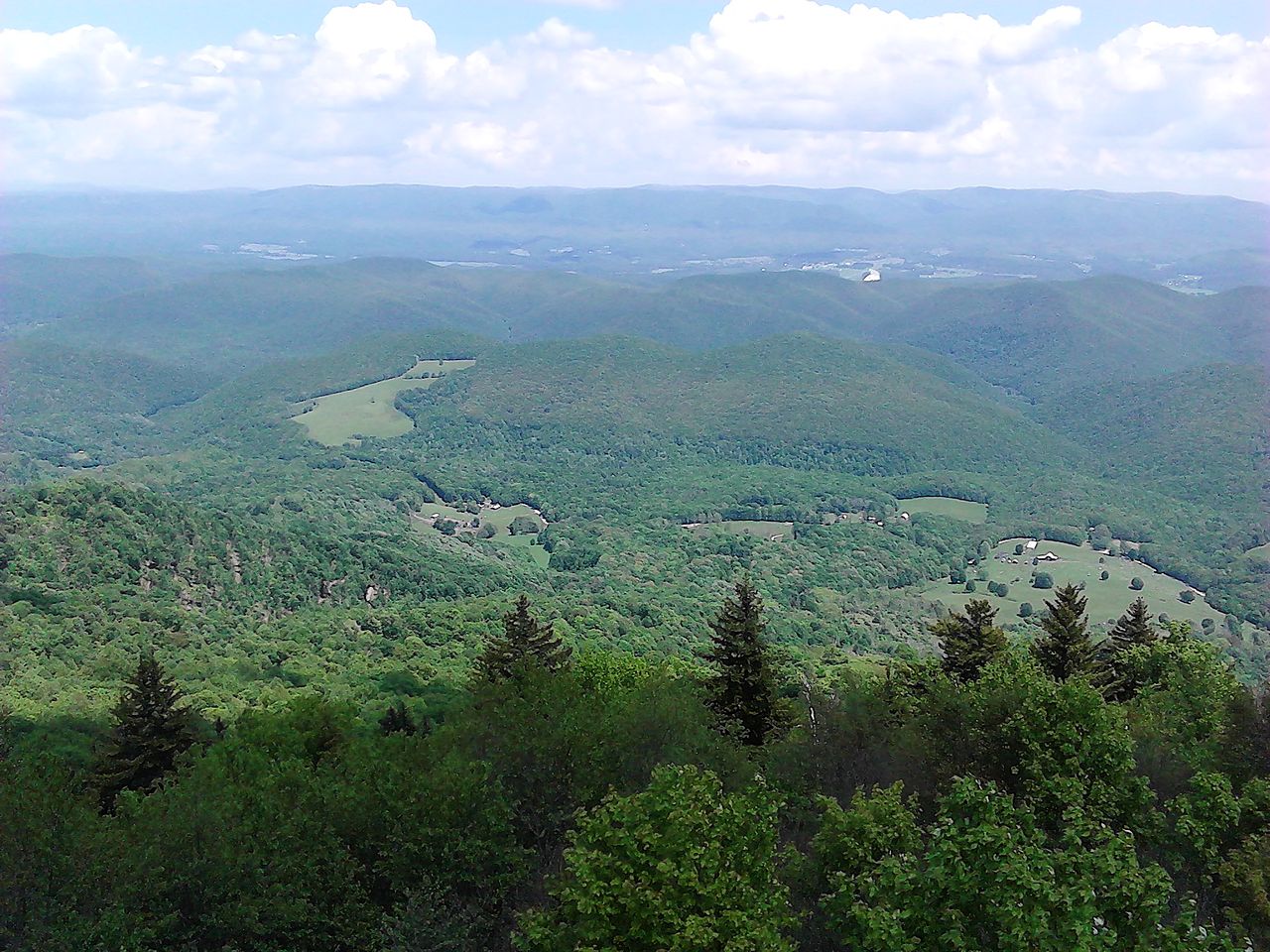 Bald KnobSummitPhoto: User:Scochran4, CC BY-SA 3.0 (via Wikimedia Commons)~34 min drive
 Spruce KnobSummitPhoto: Original uploader was Black and White at en.wikipedia, CC BY-SA 3.0 (via Wikimedia Commons)~1h 21m drive
- Red Spruce KnobSummit~9 min drive
- High RockSummit~13 min drive
- Blue KnobSummit~16 min drive
- Thorny Creek MountainSummit~28 min drive
- Thomas MountainSummit~31 min drive
- Michael MountainSummit~32 min drive
- Round MountainSummit~46 min drive
- Duncan KnobSummit~54 min drive
Conditions and forecast
Caution todayAgency alerts are in effect for this areaUSFS · checked just nowDaily highs and lows, wind and the chance of precipitation at the summit and route start for the next 7 days, from the Open-Meteo model.
Questions about Sugar Creek Mountain
How tall is Sugar Creek Mountain?
4,509 ft (1,374 m).
How many routes go to the summit of Sugar Creek Mountain?
One: Big Beechy.
When is the best time to climb Sugar Creek Mountain?
Year-round.

Ask about this place
Questions about Sugar Creek Mountain: conditions, access, timing. Answers say when something isn't known.
