Southwest Trail
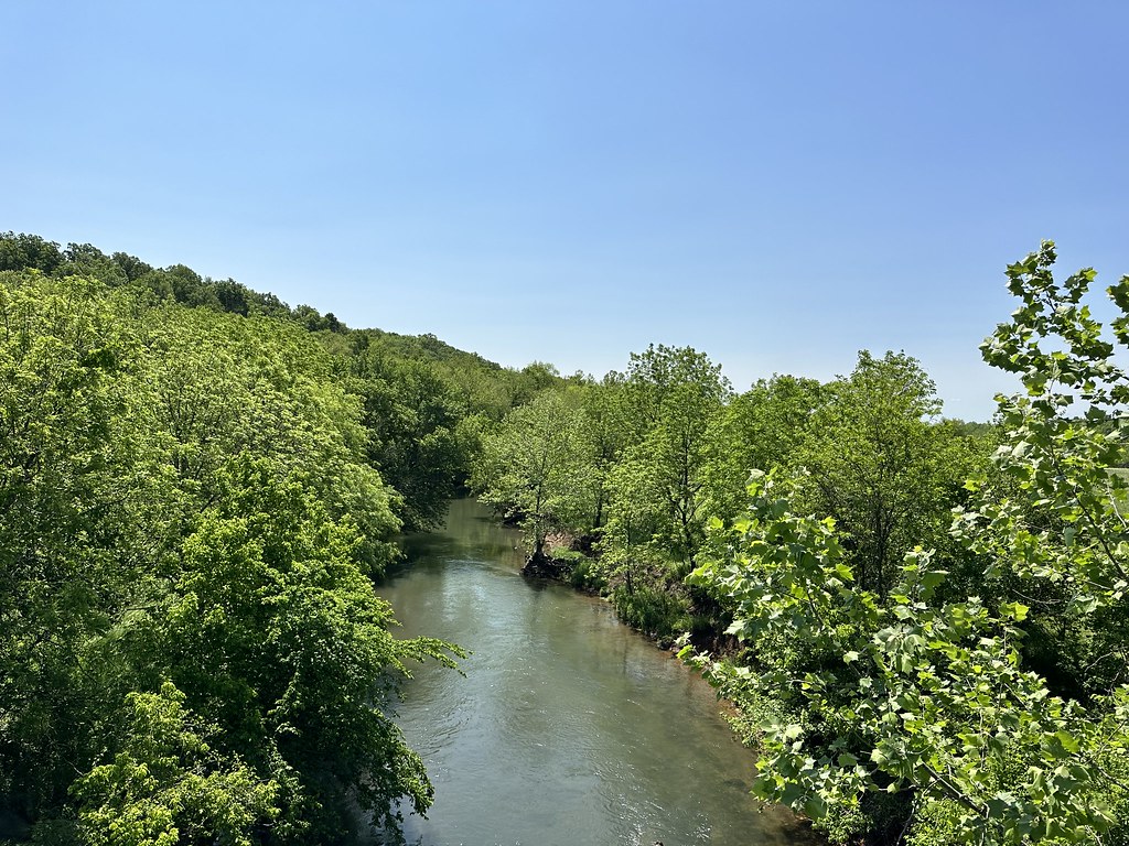 Photo: SlapTheWorld, Public Domain Dedication (CC0) (via Flickr)
At a glance
Southwest Trail is a 3.32-mile out-and-back trail in Missouri with 144 feet of elevation gain. The route follows a straightforward path through the landscape, returning via the same trail it used to reach the endpoint.
- round trip
- 1.7 mi
- climb
- 144 ft
- route
- Out and back
- difficulty
- Easy
- best months
- Mar–Jun, Sep–Nov
Near: Springfield
Best time to visit Southwest Trail
Best months: March–June and September–November. Best months have typical highs of 55–85 °F, lows of 30 °F or warmer (32 °F where the station doesn't record snow), at most one snowy day and no more than 12 wet days.
Jan
43°
23°
Feb
48°
26°
Mar
58°
35°
Apr
67°
44°
May
75°
56°
Jun
84°
64°
Jul
88°
68°
Aug
88°
67°
Sep
81°
58°
Oct
69°
46°
Nov
57°
35°
Dec
46°
27°
Typical high / low (°F) and days with rain or snow, 1991–2020. Measured at Springfield Wbo, MO, 9.6 mi away at 1,325 ft. We don't have this place's elevation, so higher spots nearby can run cooler. This station doesn't record snowfall. Source: NOAA NCEI U.S. Climate Normals 1991–2020.
Been here? Tell people how it was.
 Ray Cornfield TrailHikingPhoto: SlapTheWorld, Public Domain Dedication (CC0) (via Flickr)~2 min drive
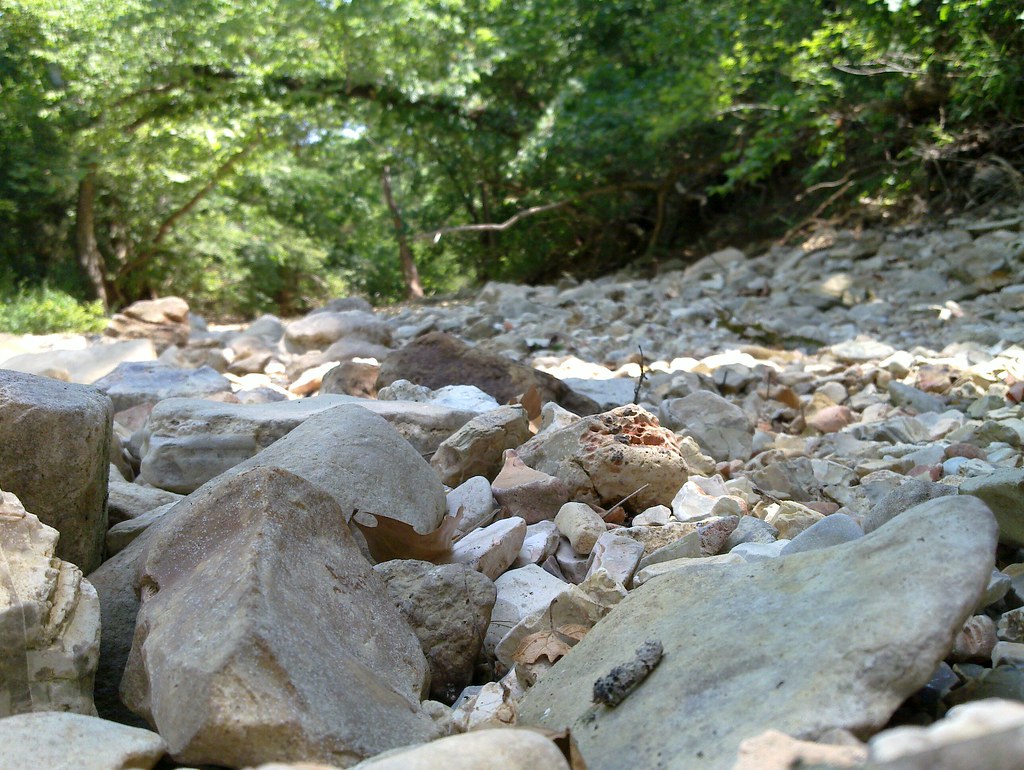 Piney Creek-Tower LoopHikingPhoto: My Blue Van, CC BY-SA 2.0 (via Flickr)~50 min drive
- Busiek Yellow TrailHiking~33 min drive
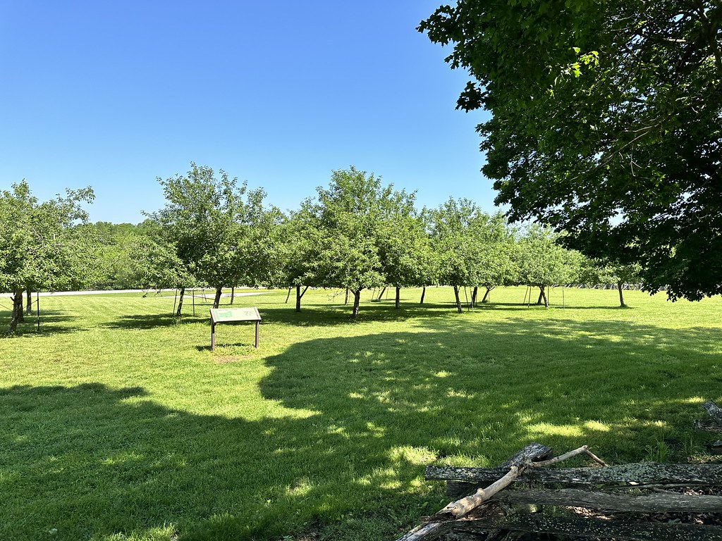 Manley Uplands TrailHikingPhoto: SlapTheWorld, Public Domain Dedication (CC0) (via Flickr)~2 min drive
- Busiek White TrailHiking~30 min drive
 Bloody Hill TrailHikingPhoto: SlapTheWorld, Public Domain Dedication (CC0) (via Flickr)~2 min drive
- Busiek Purple TrailHiking~31 min drive
- Bloody Hill Trail SpurHikingPhoto: SlapTheWorld, Public Domain Dedication (CC0) (via Flickr)~2 min drive
- Swan Creek-Math BranchHiking~46 min drive
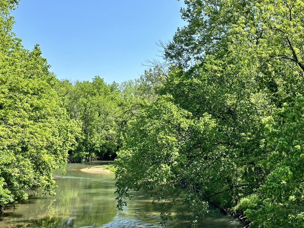 Gibson's Mill Trail ExtensionHikingPhoto: SlapTheWorld, Public Domain Dedication (CC0) (via Flickr)~3 min drive
Conditions and forecast
Daily highs and lows, wind and the chance of precipitation at Start for the next 7 days, from the Open-Meteo model.
Ask about this place
Questions about Southwest Trail: conditions, access, timing. Answers say when something isn't known.
