River View Loop
At a glance
River View Loop is a 2.9-mile hike in the Ocoee Ranger District of Cherokee National Forest in Tennessee, within the South Cherokee National Forest & Wildlife Management Area. The land is managed jointly, and the trail is rated easy. The route starts at about 1,797 feet and climbs to a high point of 1,825 feet, with a total gain of 797 feet. The steepest stretch comes at about 2.7 miles, where the grade reaches 13%. The trail also descends to a low of 1,524 feet, so the total round-trip gain is about 1,600 feet. Spring and fall are the most comfortable times to go. Typical averages from a nearby weather station show October highs around 73°F with lows near 48°F, while July highs average about 89°F. That station sits well below the trail, so temperatures on the loop run cooler. The River View and Bypass bike trails both start within a tenth of a mile. Thunder Rock Campground is about 1.4 miles away, and the Ocoee River, a whitewater fishing section, is about 1.2 miles off.
- loop
- 2.9 mi
- climb
- 797 ft
- high point
- 1,825 ft
- route
- Loop
- time
- About 1.5 hours
- best months
- Feb, Apr–May
Where it is: Ocoee Ranger District · Cherokee National Forest
Near: Cleveland
Best time to visit River View Loop
Best months: February, April–May and September–November. Best months have typical highs of 55–85 °F, lows of 30 °F or warmer (32 °F where the station doesn't record snow), at most one snowy day and no more than 12 wet days.
Jan
50°
29°
13 wet
Feb
55°
33°
12 wet
Mar
63°
39°
13 wet
Apr
72°
47°
12 wet
May
79°
56°
12 wet
Jun
86°
64°
12 wet
Jul
89°
68°
12 wet
Aug
88°
67°
10 wet
Sep
83°
60°
9 wet
Oct
73°
48°
9 wet
Nov
61°
37°
10 wet
Dec
53°
32°
13 wet
Typical high / low (°F) and days with rain or snow, 1991–2020. Measured at Cleveland Fltr Plt, TN, 21.2 mi away at 842 ft. The station sits about 1,000 ft lower than this place, so expect it a little cooler here. This station doesn't record snowfall. Source: NOAA NCEI U.S. Climate Normals 1991–2020.
Been here? Tell people how it was.
 RIVERVIEW BIKE TRAILHikingPhoto: Ken Lund, CC BY-SA 4.0 (via Wikimedia Commons)0.1 mi
- BYPASS BIKE TRAILHiking0.1 mi
- CHESTNUT LOOP BIKE TRAILHiking0.5 mi
- Ocoee RiverRiver fishing1.2 mi
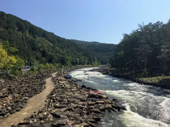 Thunder Rock CampgroundCampingPhoto: Recreation.gov (RIDB) / public domain1.4 mi
- GoForth Creek BouldersRock climbing3.1 mi
- Ocoee River AreaRiver fishing4.7 mi
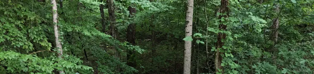 Parksville Lake RV CampgroundCampingPhoto: Recreation.gov (RIDB) / public domain7.1 mi
- Quartz LoopHikingPhoto: Ken Lund, CC BY-SA 4.0 (via Wikimedia Commons)~1 min drive
 Prince Gap TrailHikingPhoto: Ken Lund from Las Vegas, Nevada, USA, CC BY-SA 2.0 (via Wikimedia Commons)~16 min drive
- Chestnut Mountain LoopHikingNext door
- SYLCO LOOPHiking~13 min drive
- Slickrock Branch RoadHikingPhoto: Ken Lund from Las Vegas, Nevada, USA, CC BY-SA 2.0 (via Wikimedia Commons)~15 min drive
- BOYD GAP BIKE TRAILHikingPhoto: Ken Lund, CC BY-SA 4.0 (via Wikimedia Commons)~3 min drive
- BRUSH CREEK BIKE TRAILHiking~3 min drive
- Licklog RidgeHiking~4 min drive
 Clemmer Spur TrailHikingPhoto: Nicolas Raymond from Bethesda, Maryland, USA, CC BY 2.0 (via Wikimedia Commons)~12 min drive
- BYPASS BIKE TRAILHikingNext door
Conditions and forecast
Caution todayAgency alerts are in effect for this areaUSFS · checked 22 min agoDaily highs and lows, wind and the chance of precipitation at Start for the next 7 days, from the Open-Meteo model.
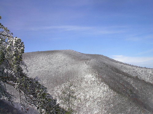
Ask about this place
Questions about River View Loop: conditions, access, timing. Answers say when something isn't known.
Map and trail data © OpenStreetMap contributors
