Dry River Campground
Campground
1.6 mi from the trail
Ripley Falls is a waterfall in New Hampshire, about 8 miles from the town of Bartlett. The Arethusa-Ripley Falls Trail passes just 0.3 miles away, linking it with Arethusa Falls about half a mile off, so the two waterfalls pair naturally on the same outing. Summer is the most comfortable time to visit. Typical averages from the nearby Pinkham Notch weather station run to highs around 75°F in July with lows in the low 50s, while September is cooler with highs near 68°F and the fewest wet days of the year. Beyond the falls trails, the Westside Trail lies 0.6 miles away, and climbers can find Ethan & Abel Slabs about 1.7 miles off. For an overnight, Ethan Pond Shelter sits roughly 2 miles away.
Near: Berlin
Best months: September. Best months have typical highs of 55–85 °F, lows of 30 °F or warmer (32 °F where the station doesn't record snow), at most one snowy day and no more than 12 wet days.
Jan
26°
6°
14 wet
Feb
28°
7°
13 wet
Mar
36°
15°
14 wet
Apr
49°
27°
13 wet
May
62°
39°
15 wet
Jun
70°
48°
14 wet
Jul
75°
53°
14 wet
Aug
74°
52°
13 wet
Sep
68°
45°
12 wet
Oct
54°
35°
14 wet
Nov
42°
24°
14 wet
Dec
31°
14°
16 wet
Typical high / low (°F) and days with rain or snow, 1991–2020. Measured at Pinkham Notch, NH, 9.6 mi away at 2,025 ft. This station doesn't record snowfall. Source: NOAA NCEI U.S. Climate Normals 1991–2020.
Been here? Tell people how it was.
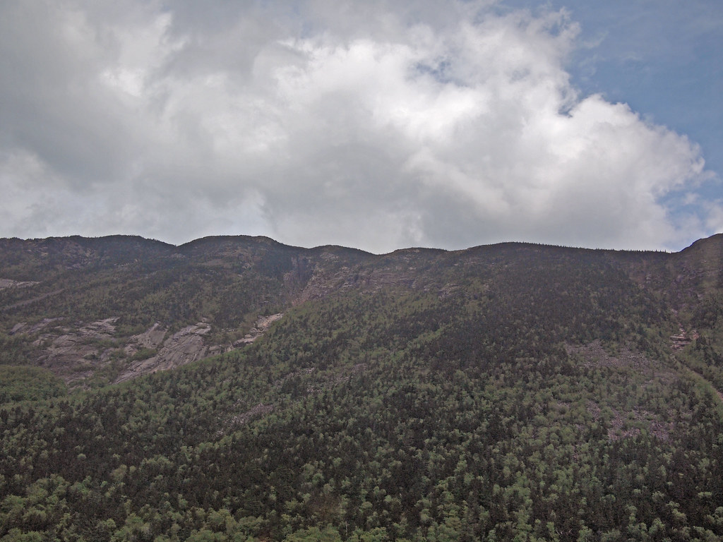 Arethusa-Ripley Falls TrailHikingPhoto: rickpilot_2000, CC BY 2.0 (via Flickr)0.3 mi
 Arethusa FallsHikingPhoto: Bob Linsdell, CC BY 2.0 (via Flickr)0.5 mi
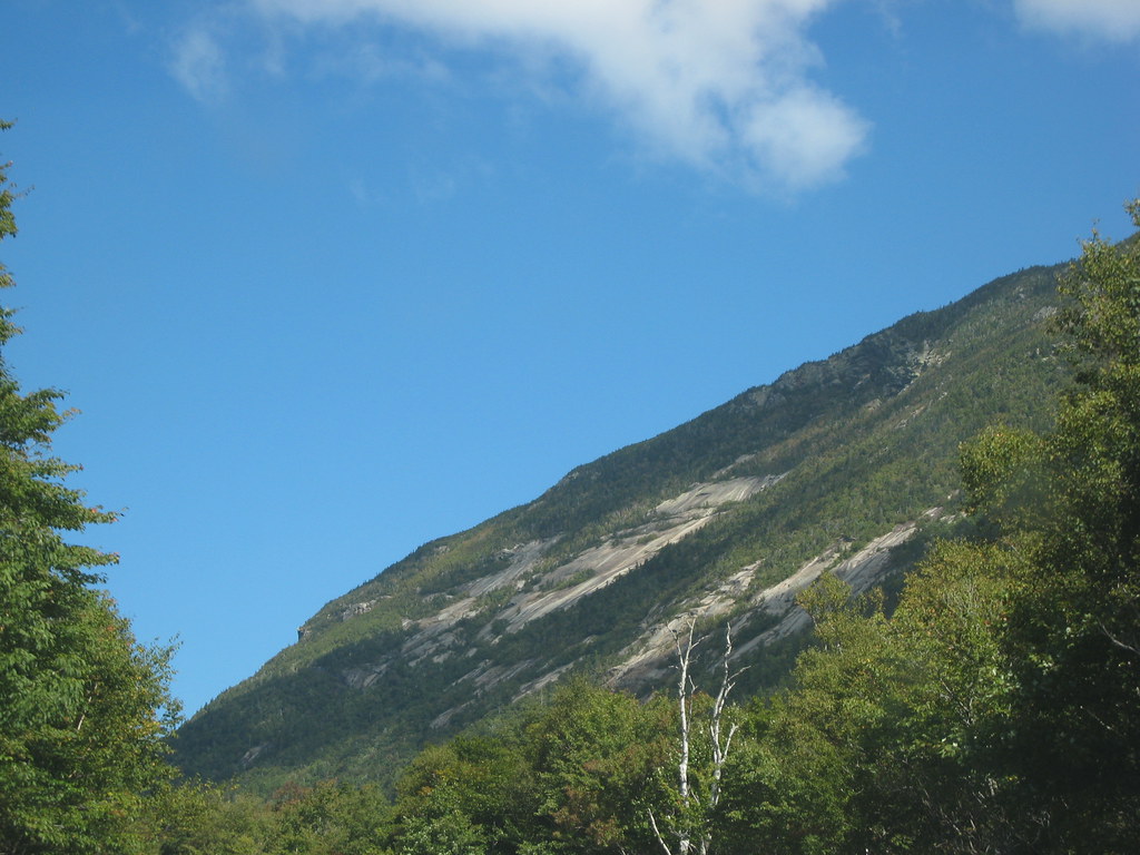 Westside TrailHikingPhoto: msprague, CC BY-SA 2.0 (via Flickr)0.6 mi
 Ethan & Abel SlabsRock climbingPhoto: Bob Linsdell, CC BY 3.0 (via Wikimedia Commons)1.7 mi
 Omni Mount Washington Resort, Bretton WoodsLake fishing7.5 mi
 Arethusa FallsWaterfallPhoto: Wgreaves, CC BY-SA 4.0 (via Wikimedia Commons)~2 min drive
 Glen Ellis FallsWaterfallPhoto: muffinman71xx, CC BY-SA 2.0 (via Wikimedia Commons)~15 min drive
Also worth it near here
Arethusa-Ripley Falls TrailHikingPhoto: rickpilot_2000, CC BY 2.0 (via Flickr)Next doorEthan & Abel SlabsRock climbingPhoto: Bob Linsdell, CC BY 3.0 (via Wikimedia Commons)~3 min drive Mount WilleySummitPhoto: wwoods, CC BY-SA 3.0 (via Wikimedia Commons)~3 min drive
Daily highs and lows, wind and the chance of precipitation at Ripley Falls for the next 7 days, from the Open-Meteo model.
Questions about Ripley Falls: conditions, access, timing. Answers say when something isn't known.
Dry River Campground
Campground
 If it rainsKen Gallager, CC BY-SA 4.0 · Wikimedia Commons
Places © OpenStreetMap contributors, Places © Overture Maps Foundation · Photos: Ken Gallager, CC BY-SA 4.0 (commons)
More in North Conway