Renfro Loop
At a glance
Renfro Out-and-back is a 2.0-mile out-and-back trail in Kentucky with 456 feet of elevation gain and loss. The trail reaches a maximum elevation of 1,511 feet.
- round trip
- 1.0 mi
- climb
- 456 ft
- high point
- 1,511 ft
- route
- Out and back
- time
- About 30 minutes
- best months
- Mar–Apr, Jun–Nov
Near: Berea
Best time to visit RENFRO LOOP
Best months: March–April and June–November. Best months have typical highs of 55–85 °F, lows of 30 °F or warmer (32 °F where the station doesn't record snow), at most one snowy day and no more than 12 wet days.
Jan
42°
25°
12 wet · 2 snow
Feb
47°
27°
10 wet · 2 snow
Mar
56°
35°
12 wet · 1 snow
Apr
67°
44°
12 wet
May
75°
54°
13 wet
Jun
81°
62°
11 wet
Jul
84°
66°
11 wet
Aug
84°
64°
9 wet
Sep
79°
57°
8 wet
Oct
69°
45°
9 wet
Nov
56°
35°
10 wet
Dec
46°
29°
13 wet · 1 snow
Typical high / low (°F) and days with rain or snow, 1991–2020. Measured at Mt Vernon, KY, 14.5 mi away at 1,160 ft. Source: NOAA NCEI U.S. Climate Normals 1991–2020.
Been here? Tell people how it was.
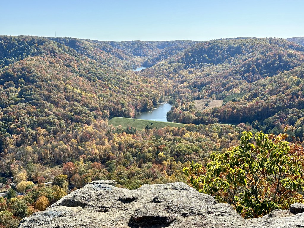 Upper East Pinnacle TrailHikingPhoto: Navin75, CC BY-SA 2.0 (via Flickr)~25 min drive
 Sheltowee TraceHikingPhoto: porterjosh9, CC BY-SA 3.0 (via Wikimedia Commons)~36 min drive
- Sheltowee TraceHiking~7 min drive
- Sheltowee TraceHiking~13 min drive
- Walnut TrailHikingPhoto: Navin75, CC BY-SA 2.0 (via Flickr)~26 min drive
- Sheltowee TraceHiking~24 min drive
- Turkey Foot LoopHiking~18 min drive
- Upper West Pinnacle TrailHikingPhoto: Navin75, CC BY-SA 2.0 (via Flickr)~26 min drive
- Turkey Foot Loop BHiking~19 min drive
- Renfro ConnectorHikingNext door
Conditions and forecast
Daily highs and lows, wind and the chance of precipitation at Start for the next 7 days, from the Open-Meteo model.
Ask about this place
Questions about Renfro Loop: conditions, access, timing. Answers say when something isn't known.
Local outfitters
- Miguels Rock Climbing Shop35 mi away
Not on Roamze yet. Their page has how to reach them.
