Slide Canyon Trail #58
At a glance
Slide Canyon Trail #58 is a hard hike of about 15.6 miles in the North Kaibab Ranger District of Kaibab National Forest in northern Arizona, managed by the Forest Service. The trail is an out-and-back route that climbs from a low point of about 3,900 feet to a high of about 5,600 feet, with a total elevation gain of 932 feet. Spring and fall are the most comfortable times to go. Typical averages from a nearby weather station at Pipe Spring National Monument show May highs around 78°F and October highs around 72°F, while July averages about 94°F and January lows drop to about 23°F. Slide Spring Trail #11 lies about 2 miles away, and Horse Spring Trail #137 is about 2.8 miles off. Jumpup Cabin, a campground, and Little Spring Trail #13 are each about 4.3 to 4.4 miles away.
- round trip
- 15.6 mi
- climb
- 932 ft
- high point
- 5,631 ft
- route
- Out and back
- time
- About 5.5 hours
- best months
- Early Mar–mid-May, late Sep–mid-Nov
Where it is: North Kaibab Ranger District · Kaibab National Forest
Near: Kanab
Best weeks to go
Early March to mid-May and late September to mid-November are usually best for hiking here.
Typical highs of 58–80°F and lows of 30°F or warmer in those weeks.
Typical weather: NOAA 1991–2020 normals at Pipe Spring Nm, AZ, 20 mi away. Not a forecast.
Typical weather by monthBest time to visit Slide Canyon Trail #58
Best months: March–May and October–November. Best months are the ones mostly made of the best weeks for hiking: typical temperatures in its comfortable range, few snowy days and not usually wet, judged with the same limits as our good-day forecasts.
Jan
48°
23°
5 wet
Feb
52°
26°
6 wet
Mar
61°
31°
5 wet
Apr
68°
36°
4 wet
May
78°
45°
3 wet
Jun
89°
53°
2 wet
Jul
94°
61°
5 wet
Aug
92°
60°
6 wet
Sep
85°
52°
4 wet
Oct
72°
40°
4 wet
Nov
59°
30°
3 wet
Dec
47°
22°
4 wet
Typical high / low (°F) and days with rain or snow, 1991–2020. Measured at Pipe Spring Nm, AZ, 20 mi away at 4,920 ft. The station sits about 700 ft lower than this place, so expect it a little cooler here. This station doesn't record snowfall. Source: NOAA NCEI U.S. Climate Normals 1991–2020.
Been here? Tell people how it was.
 Deer Creek TrailHikingPhoto: Grand Canyon National Park, CC BY 2.0 (via Wikimedia Commons)~29 min drive
- Surprise ValleyHikingPhoto: Grand Canyon National Park, CC BY 2.0 (via Wikimedia Commons)~29 min drive
 Arizona TrailHikingPhoto: Kaibab National Forest, CC BY-SA 2.0 (via Wikimedia Commons)~32 min drive
- Arizona TrailHikingPhoto: Kaibab National Forest, CC BY-SA 2.0 (via Wikimedia Commons)~32 min drive
- Little Spring Trail #13Hiking~8 min drive
 Kai-Vav-Wi Nature Trail #34HikingPhoto: Rodrigo Paredes from Ciudad Autónoma de Buenos Aires, Argentina, CC BY 2.0 (via Wikimedia Commons)~29 min drive
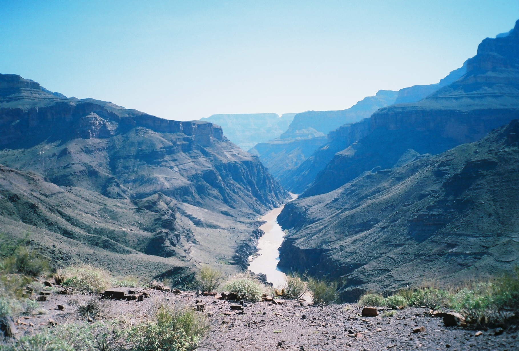 North Bass TrailHikingPhoto: Gonzo fan2007, CC BY-SA 4.0 (via Wikimedia Commons)~39 min drive
- Sowats Springs Trail #14Hiking~14 min drive
 Ridge TrailHikingPhoto: RuggyBearLA, CC BY-SA 2.0 (via Flickr)~35 min drive
 Rainbow RimHikingPhoto: Kaibab National Forest, CC BY-SA 2.0 (via Wikimedia Commons)~29 min drive
Conditions and forecast
Caution at last checkAgency alerts are in effect for this areaUSFS · checked 13 h agoDaily highs and lows, wind and the chance of precipitation at Start for the next 7 days, from the Open-Meteo model.
Ask about this place
Questions about Slide Canyon Trail #58: conditions, access, timing. Answers say when something isn't known.
Local outfitters
- Kanab RV Corral28 mi away
- Kanab Tour Company28 mi away
Not on Roamze yet. Their page has how to reach them.
Map and trail data © OpenStreetMap contributors
