Ranger Trail #41
At a glance
Ranger Trail #41 is a hard out-and-back hike in Arizona's Kaibab National Forest, within the North Kaibab Ranger District. The route is about 50.5 miles long, rising from a low point of 3,573 feet to a high of 5,381 feet, which makes it one of the longer and steeper treks in this part of the forest. The most comfortable months for a visit are typically May and October. Typical averages from the nearby Pipe Spring weather station, which sits about 460 feet lower, put May highs near 78°F and October highs near 72°F, while July highs average around 94°F and winter lows dip to the low 20s. Jumpup Cabin is just 0.1 mile away, making it the natural base for the trail. Gooseneck Trail #112 lies about 1.4 miles off, and Little Spring Trail #13 and Jumpup-Nail Trail #8 are both within about 4 miles.
- round trip
- 50.5 mi
- climb
- 223 ft
- high point
- 5,381 ft
- route
- Out and back
- time
- About 17 hours
- best months
- Apr–May, Sep–Oct
Where it is: North Kaibab Ranger District · Kaibab National Forest
Near: Kanab
Best time to visit Ranger Trail #41
Best months: April–May and September–October. Best months have typical highs of 55–85 °F, lows of 30 °F or warmer (32 °F where the station doesn't record snow), at most one snowy day and no more than 12 wet days.
Jan
48°
23°
5 wet
Feb
52°
26°
6 wet
Mar
61°
31°
5 wet
Apr
68°
36°
4 wet
May
78°
45°
3 wet
Jun
89°
53°
2 wet
Jul
94°
61°
5 wet
Aug
92°
60°
6 wet
Sep
85°
52°
4 wet
Oct
72°
40°
4 wet
Nov
59°
30°
3 wet
Dec
47°
22°
4 wet
Typical high / low (°F) and days with rain or snow, 1991–2020. Measured at Pipe Spring Nm, AZ, 21.9 mi away at 4,920 ft. This station doesn't record snowfall. Source: NOAA NCEI U.S. Climate Normals 1991–2020.
Been here? Tell people how it was.
 Deer Creek TrailHikingPhoto: Grand Canyon National Park, CC BY 2.0 (via Wikimedia Commons)~23 min drive
- Surprise ValleyHikingPhoto: Grand Canyon National Park, CC BY 2.0 (via Wikimedia Commons)~23 min drive
 North Bass TrailHikingPhoto: Gonzo fan2007, CC BY-SA 4.0 (via Wikimedia Commons)~35 min drive
 Arizona TrailHikingPhoto: Kaibab National Forest, CC BY-SA 2.0 (via Wikimedia Commons)~38 min drive
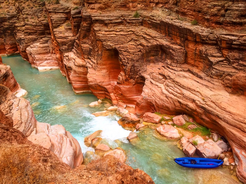 Havasu Canyon TrailHikingPhoto: Nate Loper • #ArizonaGuide ️, CC BY 2.0 (via Flickr)~39 min drive
 Kai-Vav-Wi Nature Trail #34HikingPhoto: Rodrigo Paredes from Ciudad Autónoma de Buenos Aires, Argentina, CC BY 2.0 (via Wikimedia Commons)~35 min drive
 Havasupai TrailHikingPhoto: Jason Hollinger, CC BY 2.0 (via Wikimedia Commons)~41 min drive
- Gooseneck Trail #112Hiking~2 min drive
 Ridge TrailHikingPhoto: RuggyBearLA, CC BY-SA 2.0 (via Flickr)~38 min drive
 Rainbow RimHikingPhoto: Kaibab National Forest, CC BY-SA 2.0 (via Wikimedia Commons)~26 min drive
Conditions and forecast
Caution at last checkAgency alerts are in effect for this areaUSFS · checked 19 h agoDaily highs and lows, wind and the chance of precipitation at Start for the next 7 days, from the Open-Meteo model.
Ask about this place
Questions about Ranger Trail #41: conditions, access, timing. Answers say when something isn't known.
Local outfitters
- Kanab RV Corral31 mi away
- Kanab Tour Company32 mi away
Not on Roamze yet. Their page has how to reach them.
Map and trail data © OpenStreetMap contributors
