Shake Trail #309
 Photo: squeaks2569, CC BY-SA 2.0 (via Flickr)
At a glance
Shake Trail #309 is a 7.3-mile out-and-back hike in the Safford Ranger District of Coronado National Forest in Arizona. The trail starts and ends at the SHAKE parking area and climbs from about 5,788 feet to 8,600 feet, a total gain of 344 feet. The Forest Service manages the land, and the route is rated moderate. The trail is an easy, straightforward climb to a high point of 8,600 feet, making it a natural choice for a day of elevation gain in the Safford Ranger District. It works well paired with other trails and campgrounds in the area. Turkey Flat is about a mile away, and the Twilight Group Site and Arcadia campground sit roughly 2 miles off. Hikers can also reach the Heliograph Trail #328A within about 2.6 miles.
- round trip
- 7.3 mi
- climb
- 344 ft
- high point
- 8,600 ft
- route
- Out and back
- time
- About 2.5 hours
Where it is: Safford Ranger District · Coronado National Forest
Near: Safford
Been here? Tell people how it was.
- Turkey FlatHikingPhoto: squeaks2569, CC BY-SA 2.0 (via Flickr)1.1 mi
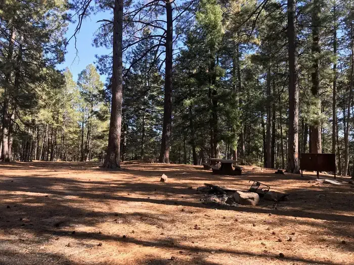 Upper Twilight Group SiteCampingPhoto: Recreation.gov (RIDB) / public domain1.6 mi
- Lower Twilight Group SiteCamping1.6 mi
- Twilight Group SiteCamping1.6 mi
- ArcadiaCamping1.9 mi
 Heliograph Trail #328AHikingPhoto: squeaks2569, CC BY-SA 2.0 (via Flickr)2.6 mi
- Noon Creek Ridge Trail #318Hiking2.7 mi
- Arcadia Trail #328HikingPhoto: squeaks2569, CC BY-SA 2.0 (via Flickr)2.9 mi
- Turkey FlatHikingPhoto: squeaks2569, CC BY-SA 2.0 (via Flickr)~2 min drive
 Blair CanyonHikingPhoto: squeaks2569, CC BY-SA 2.0 (via Flickr)~16 min drive
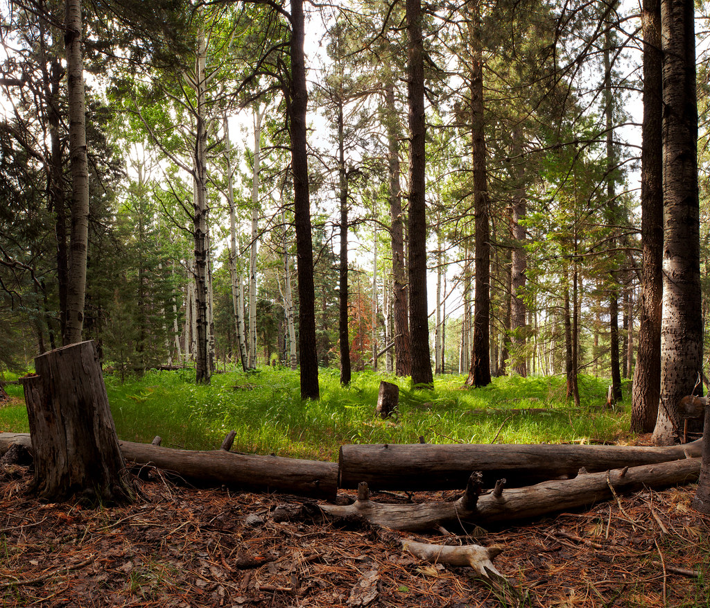 Jesus Goudy Ridge Trail #298HikingPhoto: squeaks2569, CC BY-SA 2.0 (via Flickr)~16 min drive
 Round the Mountain Trail #302HikingPhoto: em_burk, CC BY-SA 2.0 (via Flickr)~13 min drive
- Heliograph Trail #328AHikingPhoto: squeaks2569, CC BY-SA 2.0 (via Flickr)~4 min drive
- Arcadia Trail #328HikingPhoto: squeaks2569, CC BY-SA 2.0 (via Flickr)~5 min drive
- Ladybug Trail #329Hiking~6 min drive
- Noon Creek Ridge Trail #318Hiking~5 min drive
 Ash Creek DetourHikingPhoto: em_burk, CC BY-SA 2.0 (via Flickr)~14 min drive
- Grant Creek Trail #305Hiking~10 min drive
Also worth it near here
- Upper Twilight Group SiteCamping~3 min drive
 Big CreekMountain bikingPhoto: Kjunewright, CC BY-SA 4.0 (via Wikimedia Commons)~7 min drive
 Mount GrahamSummitPhoto: No machine-readable author provided. GreatInca assumed (based on copyright claims)., CC BY-SA 3.0 (via Wikimedia Commons)~10 min drive
- Ash Creek FallsWaterfall~14 min drive
Conditions and forecast
Caution todayAgency alerts are in effect for this areaUSFS · checked 18 min agoDaily highs and lows, wind and the chance of precipitation at Start for the next 7 days, from the Open-Meteo model.
Ask about this place
Questions about Shake Trail #309: conditions, access, timing. Answers say when something isn't known.
Map and trail data © OpenStreetMap contributors
