Cheyenne Rim Trail
At a glance
Cheyenne Rim Trail is a 24.5-mile out-and-back hike in Wyoming, rising from about 6,136 feet to a high point of 7,299 feet. The route is rated hard, and the climb totals 250 feet of elevation gain. The nearest town is Granite, about 6.5 miles away. Summer is the most comfortable time to go. Typical averages from a nearby weather station at Virginia Dale, Colorado, show July highs around 81°F with lows near 50°F, while winter brings highs in the upper 30s and regular snow days from December through February. Horses are allowed on the trail, but dogs are not. The trailhead is at Soapstone Prairie South Trailhead, and the route is part of the Colorado Trail Explorer network. Several other trails sit close by. Ruby Wash Trail is less than a mile away, and Salt Lick Trail and Big Hole Wash Trail are both within about 2 miles. Mountain bikers can head to Rising Sun Trail, roughly 3 miles off.
- round trip
- 24.5 mi
- climb
- 250 ft
- high point
- 7,299 ft
- route
- Out and back
- time
- About 8.5 hours
- best months
- Jun–Sep
Near: Cheyenne
Best time to visit Cheyenne Rim Trail
Best months: June–September. Best months have typical highs of 55–85 °F, lows of 30 °F or warmer (32 °F where the station doesn't record snow), at most one snowy day and no more than 12 wet days.
Jan
38°
15°
5 wet · 6 snow
Feb
39°
15°
6 wet · 6 snow
Mar
47°
22°
7 wet · 7 snow
Apr
53°
27°
9 wet · 7 snow
May
62°
35°
11 wet · 3 snow
Jun
74°
43°
11 wet
Jul
81°
50°
12 wet
Aug
80°
48°
12 wet
Sep
72°
40°
9 wet · 1 snow
Oct
57°
30°
7 wet · 4 snow
Nov
45°
22°
5 wet · 5 snow
Dec
38°
15°
6 wet · 6 snow
Typical high / low (°F) and days with rain or snow, 1991–2020. Measured at Virginia Dale 7 Ene, CO, 3.5 mi away at 7,015 ft. Source: NOAA NCEI U.S. Climate Normals 1991–2020.
Been here? Tell people how it was.
- Ruby Wash TrailHiking0.7 mi
- Salt Lick TrailHiking1.9 mi
 Big Hole Wash TrailHikingPhoto: Mountain Roamer, CC BY-SA 2.0 (via Flickr)2.2 mi
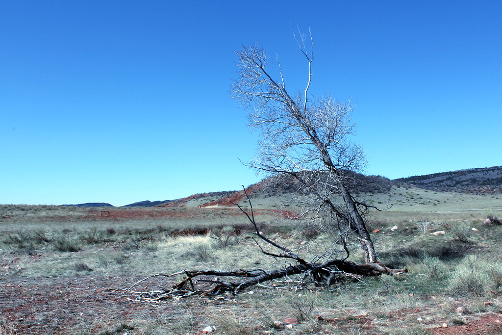 Stone Circle TrailHikingPhoto: Mountain Roamer, CC BY-SA 2.0 (via Flickr)2.4 mi
- K-Lynn Cameron TrailHikingPhoto: Mountain Roamer, CC BY-SA 2.0 (via Flickr)3 mi
- Rising Sun TrailMountain biking3.2 mi
- Sinking Sun TrailHiking3.2 mi
- Bent Rock TrailHikingPhoto: Mountain Roamer, CC BY-SA 2.0 (via Flickr)3.5 mi
- Big Hole Wash TrailHikingPhoto: Mountain Roamer, CC BY-SA 2.0 (via Flickr)~4 min drive
- Salt Lick TrailHiking~3 min drive
- Canyon TrailHiking~7 min drive
- Stone Circle TrailHikingPhoto: Mountain Roamer, CC BY-SA 2.0 (via Flickr)~4 min drive
- CanyonsHiking~18 min drive
- Pronghorn LoopHiking~12 min drive
- Big Hole Wash TrailHikingPhoto: Mountain Roamer, CC BY-SA 2.0 (via Flickr)~4 min drive
- Crystal RidgeHiking~19 min drive
- K-Lynn Cameron TrailHikingPhoto: Mountain Roamer, CC BY-SA 2.0 (via Flickr)~5 min drive
- Hidden FallsHiking~21 min drive
Conditions and forecast
Daily highs and lows, wind and the chance of precipitation at Start for the next 7 days, from the Open-Meteo model.

Ask about this place
Questions about Cheyenne Rim Trail: conditions, access, timing. Answers say when something isn't known.
Local outfitters
- Alpine Lodge at Red Feather Lakes26 mi away
Not on Roamze yet. Their page has how to reach them.
Map and trail data © OpenStreetMap contributors
