
Laramie Mountains
Wyoming
Elevation Range
6,000 ft - 12,013 ft
Notable Peaks
3
Coordinates
41.5266, -105.4997
About Laramie Mountains
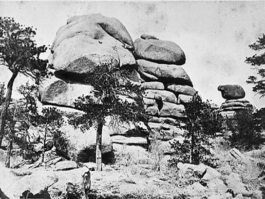
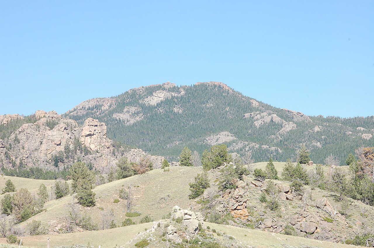
The Laramie Mountains are a modest mountain range located in southeastern Wyoming, stretching for approximately 70 miles along the border between Albany and Platte counties. The range is characterized by gently rolling hills, forested slopes, and scattered granite outcroppings. Elevations range from around 6,000 feet in the foothills to just over 9,400 feet at the summit of Laramie Peak, the range's highest point. The Laramie Mountains were carved by glaciers during the last ice age and offer a mix of alpine and subalpine ecosystems, including pockets of old-growth forests, alpine meadows, and rugged rock formations. Wildlife in the range includes mule deer, elk, black bear, and a variety of bird species.
Photos


Notable Peaks
Laramie Peak
9,443 ft
Bull Mountain
9,020 ft
Medicine Bow Peak
12,013 ft
Activities
Best Seasons
spring
summer
fall
Gateway Towns
Data Source
Geographic data from USGS Geographic Names Information System (GNIS). Descriptions generated with AI assistance.
