Adt - Missouri - L - Seg 1
At a glance
Adt - Missouri - L - Seg 1 is a hard hike in Illinois, about 27.6 miles long with an elevation gain of 1,185 feet. It is a point-to-point route, and the nearest town is Lacledes Landing, Missouri, just 0.3 miles away across the state line. The climb is steady, with the route starting at about 387 feet and reaching a high point of 673 feet. The total loss is 1,018 feet, so the trip is not a simple out-and-back. The estimated time is about 10 hours. Spring and fall are the most comfortable times to go. Typical averages from a nearby weather station in St. Louis show October highs around 70°F with lows near 50°F, and May highs around 77°F. Summer is hot, with July highs near 90°F. Paddlers can find Old Cahokia Creek about 5 miles away and Prairie duPont Creek about 8 miles away.
- one way
- 27.6 mi
- climb
- 1,185 ft
- high point
- 673 ft
- route
- Point to point
- time
- About 10 hours
- best months
- Mar–May, Sep–Nov
Near: St. Louis
Best time to visit Adt - Missouri - L - Seg 1
Best months: March–May and September–November. Best months have typical highs of 55–85 °F, lows of 30 °F or warmer (32 °F where the station doesn't record snow), at most one snowy day and no more than 12 wet days.
Jan
41°
25°
Feb
46°
28°
Mar
56°
38°
Apr
68°
48°
May
77°
59°
Jun
86°
67°
Jul
90°
72°
Aug
88°
70°
Sep
82°
62°
Oct
70°
50°
Nov
56°
39°
Dec
45°
30°
Typical high / low (°F) and days with rain or snow, 1991–2020. Measured at St Louis Sci Ctr, MO, 5 mi away at 515 ft. This station doesn't record snowfall. Source: NOAA NCEI U.S. Climate Normals 1991–2020.
Been here? Tell people how it was.
 Confluence TrailHikingPhoto: SymphonicPoet, CC BY 2.0 (via Flickr)~21 min drive
 Grotpeter TrailHikingPhoto: Kbh3rd, CC BY-SA 3.0 (via Wikimedia Commons)~35 min drive
 River's Edge TrailHikingPhoto: Herkie, CC BY-SA 2.0 (via Flickr)~22 min drive
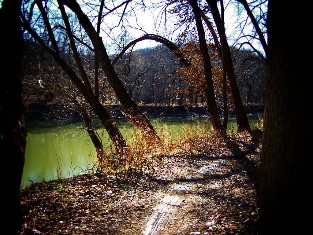 Stinging Nettle TrailHikingPhoto: monamaynard, CC BY 2.0 (via Flickr)~38 min drive
 Confluence Point TrailHikingPhoto: Herkie, CC BY-SA 2.0 (via Flickr)~23 min drive
 Green Rock TrailHikingPhoto: Fredlyfish4, CC BY-SA 3.0 (via Wikimedia Commons)~46 min drive
- Ted and Pat Jones TrailHikingPhoto: Herkie, CC BY-SA 2.0 (via Flickr)~23 min drive
- Rock Quarry TrailHikingPhoto: Fredlyfish4, CC BY-SA 3.0 (via Wikimedia Commons)~46 min drive
 Hickory RidgeHikingPhoto: pasa47, CC BY 2.0 (via Flickr)~25 min drive
- Madison Ferry TrailHiking~20 min drive
Conditions and forecast
Daily highs and lows, wind and the chance of precipitation at Start for the next 7 days, from the Open-Meteo model.
Ask about this place
Questions about Adt - Missouri - L - Seg 1: conditions, access, timing. Answers say when something isn't known.
Local outfitters
- Edwardsville YMCA17 mi away
Not on Roamze yet. Their page has how to reach them.
Map and trail data © OpenStreetMap contributors
