Adt - Illinois (South) - J - Seg 3
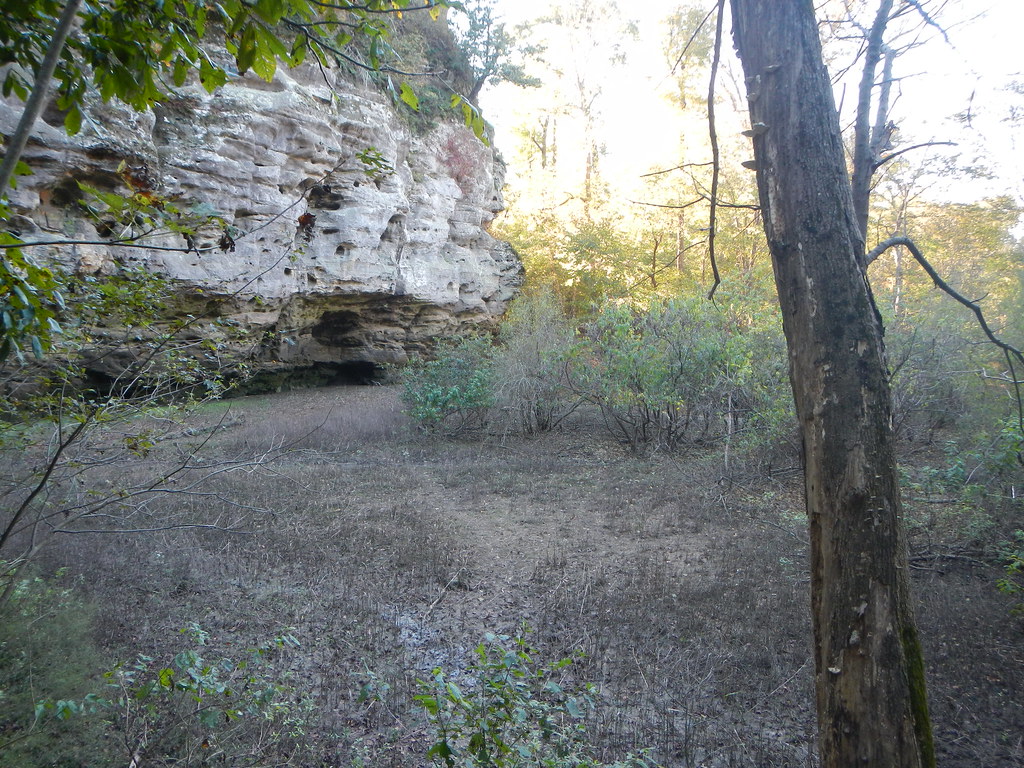
 Photo: USDAgov, Public Domain Dedication (CC0) (via Flickr)
At a glance
Adt - Illinois (South) - J - Seg 3 is a hard hike in Shawnee National Forest's Mississippi Bluffs Ranger District in southern Illinois, on city-managed land. It is a point-to-point route of about 115 miles, with a total elevation gain of 871 feet, starting at roughly 388 feet and reaching a high of about 590 feet. Spring and fall are the most comfortable times to go. Typical averages from a nearby weather station in Carbondale show October highs around 70°F with lows near 45°F, and May highs around 77°F. Summer runs hotter, with July highs near 88°F. The River to River Segment 7 - Alto Pass to Devil's Backbone lies just 0.1 mile away. Climbers can find A: Sex on the Beach and C: Picnic Boulders within about 2 miles, and Pine Hills Campground is about 10 miles off.
- one way
- 115 mi
- climb
- 871 ft
- high point
- 590 ft
- route
- Point to point
- time
- About 38 hours
- best months
- Mar–Apr, Sep–Nov
Where it is: Mississippi Bluffs Ranger District · Shawnee National Forest
Near: Carbondale
Best time to visit Adt - Illinois (South) - J - Seg 3
Best months: March–April and September–November. Best months have typical highs of 55–85 °F, lows of 30 °F or warmer (32 °F where the station doesn't record snow), at most one snowy day and no more than 12 wet days.
Jan
42°
25°
9 wet
Feb
47°
28°
9 wet
Mar
57°
36°
11 wet
Apr
68°
45°
12 wet
May
77°
55°
14 wet
Jun
86°
64°
12 wet
Jul
88°
67°
12 wet
Aug
87°
65°
12 wet
Sep
81°
56°
11 wet
Oct
70°
45°
10 wet
Nov
56°
35°
10 wet
Dec
46°
28°
10 wet
Typical high / low (°F) and days with rain or snow, 1991–2020. Measured at Carbondale Southern Il Ap, IL, 17.3 mi away at 406 ft. This station doesn't record snowfall. Source: NOAA NCEI U.S. Climate Normals 1991–2020.
Been here? Tell people how it was.
- River to River Segment 7 - Alto Pass to Devil's BackboneHikingPhoto: USDAgov, Public Domain Dedication (CC0) (via Flickr)0.1 mi
- A: Sex on the BeachRock climbing1.9 mi
- C: Picnic BouldersRock climbing2 mi
- E: The WastelandRock climbing2.3 mi
- The BeachRock climbing2.3 mi
- Fountain BluffHiking2.3 mi
 Inspiration PointHikingPhoto: Curtis Abert, CC BY 2.0 (via Flickr)5.2 mi
- Pine Hills CampgroundCamping9.8 mi
- Inspiration PointHikingPhoto: Curtis Abert, CC BY 2.0 (via Flickr)~9 min drive
 001M5HikingPhoto: Curtis Abert, CC BY 2.0 (via Flickr)~10 min drive
 Little Grand CanyonHikingPhoto: Curtis Abert, CC BY 2.0 (via Flickr)~11 min drive
 Kinkaid Lake TrailHikingPhoto: Curtis Abert, CC BY 2.0 (via Flickr)~17 min drive
 Little Grand CanyonHikingPhoto: Curtis Abert, CC BY 2.0 (via Flickr)~12 min drive
- Clear SpringsHiking~9 min drive
 White PineHikingPhoto: Curtis Abert, CC BY 2.0 (via Flickr)~14 min drive
- Fountain BluffHiking~4 min drive
- Lyerla ChapelHiking~14 min drive
- King HollowHikingPhoto: Curtis Abert, CC BY 2.0 (via Flickr)~10 min drive
Conditions and forecast
Caution todayAgency alerts are in effect for this areaUSFS · checked 19 min agoDaily highs and lows, wind and the chance of precipitation at Start for the next 7 days, from the Open-Meteo model.
Ask about this place
Questions about Adt - Illinois (South) - J - Seg 3: conditions, access, timing. Answers say when something isn't known.
Map and trail data © OpenStreetMap contributors
