Observation Trail
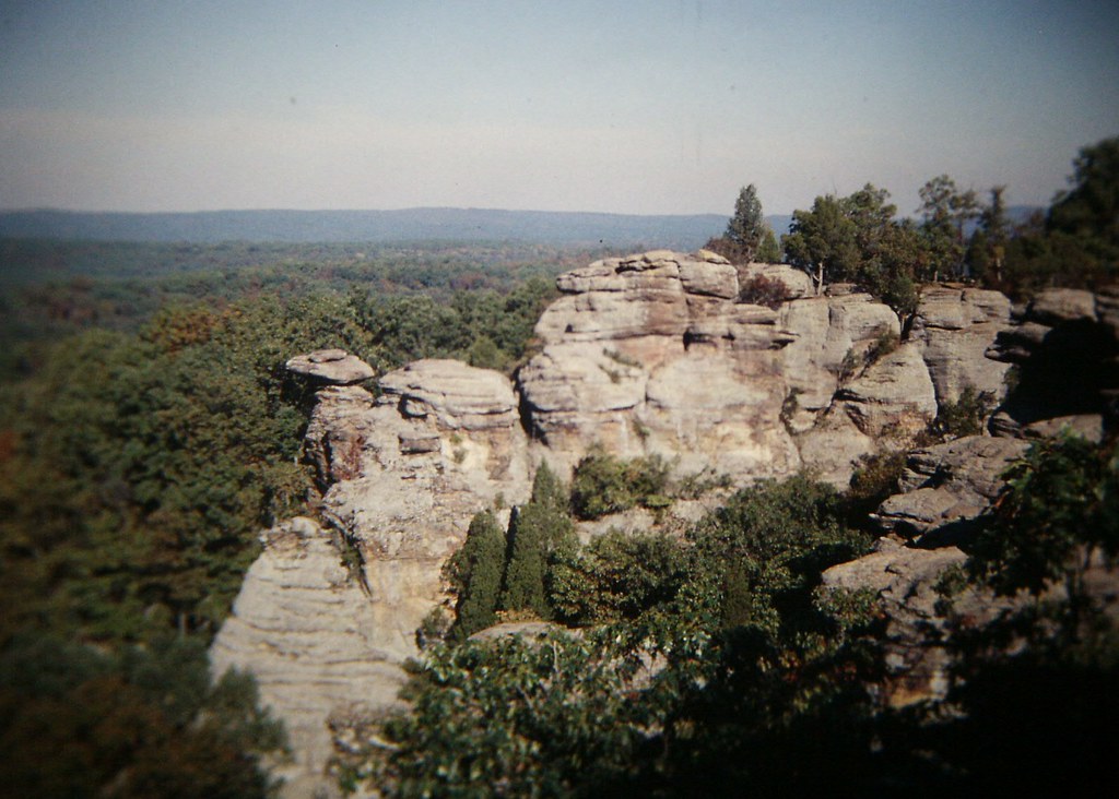 Photo: Gary Lee Todd, Ph.D., Public Domain Dedication (CC0) (via Flickr)
At a glance
Observation Trail is a short, easy loop in Shawnee National Forest's Hidden Springs Ranger District in southern Illinois, about 0.44 miles long and roughly 23 feet of elevation gain. The trail is a flat, low-elevation outing, with the high point at 834 feet and the low at 764 feet, and it makes a quick stop for anyone already exploring the surrounding area. Spring and fall are the most comfortable times to go. Typical averages from a nearby weather station in Rosiclare show May highs around 75°F and October highs near 69°F, while July and August average about 86°F. That station sits about 434 feet lower than the trail, so temperatures on the trail run a little cooler. The trail is managed by the Forest Service, and the route is closed to bikes and horses. The trip takes about half an hour, so it works well as a short addition to a longer day. Pharoah Campground -Garden Of The Gods and the R-R Garden of the Gods Loop are both about 0.3 miles away, and Indian Pt Gog is a similar distance. Little Eagle Creek, a canoeing spot, is about 4.3 miles off.
- loop
- 0.4 mi
- climb
- 23 ft
- high point
- 834 ft
- route
- Loop
- time
- About 15 minutes
- best months
- Mar–Jun, Sep–Nov
Where it is: Hidden Springs Ranger District · Shawnee National Forest
Near: Harrisburg
Best time to visit Observation Trail
Best months: March–June and September–November. Best months have typical highs of 55–85 °F, lows of 30 °F or warmer (32 °F where the station doesn't record snow), at most one snowy day and no more than 12 wet days.
Jan
41°
22°
10 wet
Feb
46°
25°
9 wet
Mar
56°
33°
11 wet
Apr
68°
43°
11 wet
May
75°
53°
11 wet
Jun
83°
62°
9 wet
Jul
86°
65°
9 wet
Aug
86°
63°
8 wet
Sep
80°
55°
7 wet
Oct
69°
43°
8 wet
Nov
56°
33°
9 wet
Dec
45°
26°
10 wet
Typical high / low (°F) and days with rain or snow, 1991–2020. Measured at Rosiclare 5nw, IL, 9.1 mi away at 400 ft. This station doesn't record snowfall. Source: NOAA NCEI U.S. Climate Normals 1991–2020.
Been here? Tell people how it was.
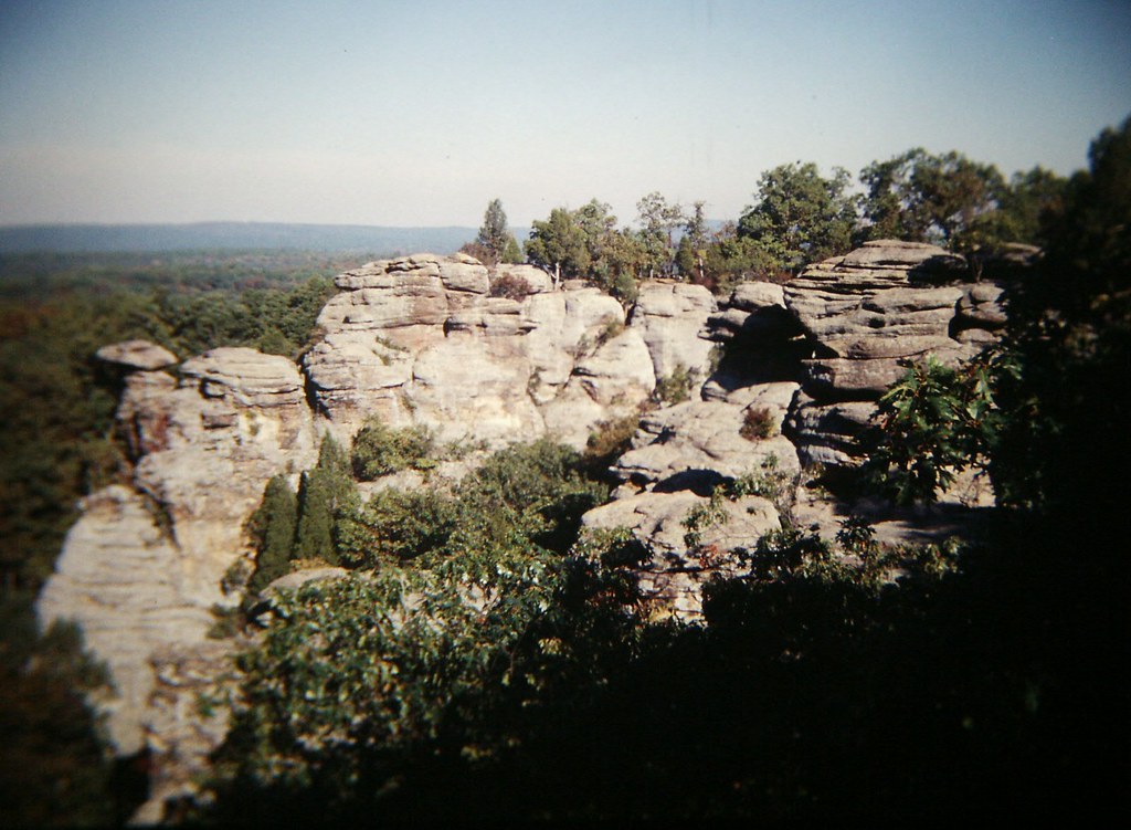 R-R Garden of the Gods LoopHikingPhoto: Gary Lee Todd, Ph.D., Public Domain Dedication (CC0) (via Flickr)0.3 mi
- Pharoah Campground -Garden Of The GodsCamping0.3 mi
 Indian Pt GogHikingPhoto: Curtis Abert, CC BY 2.0 (via Flickr)0.3 mi
- Little Eagle CreekCanoeing4.3 mi
- A: Main AreaRock climbing6.4 mi
- B: Bull AreaRock climbing6.4 mi
- Pine Ridge-Pounds HollowCamping6.5 mi
- Old ChannelCanoeing9 mi
- West Bluff TrailHikingPhoto: Gary Lee Todd, Ph.D., Public Domain Dedication (CC0) (via Flickr)Next door
 Grand TrailHikingPhoto: Curtis Abert, CC BY 2.0 (via Flickr)~7 min drive
- Hart CreekHikingPhoto: Curtis Abert, CC BY 2.0 (via Flickr)~8 min drive
- Adt - Illinois (South) - J - Seg 2Hiking~7 min drive
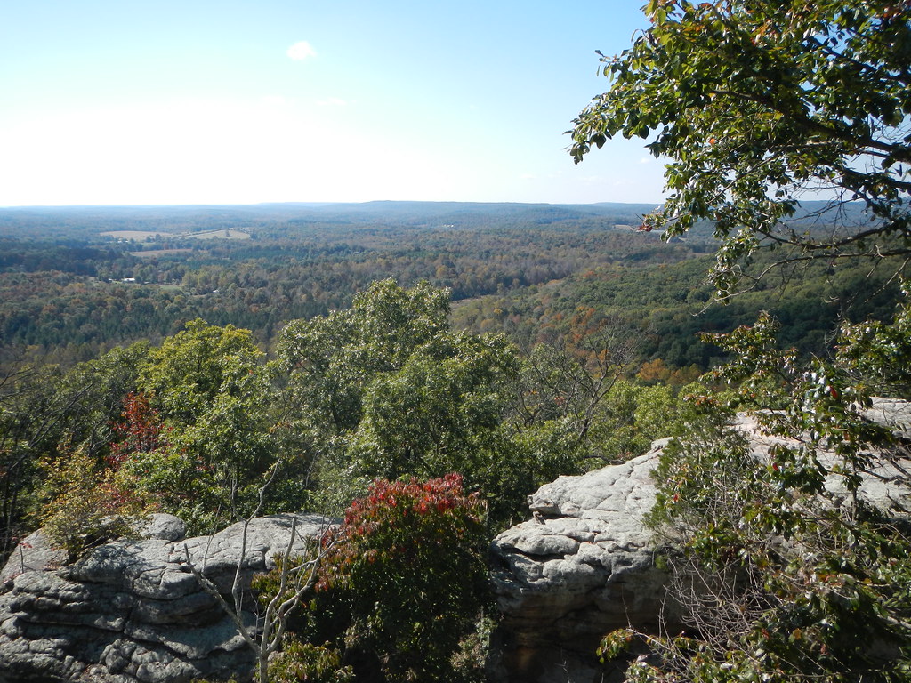 Indian Pt GogHikingPhoto: Curtis Abert, CC BY 2.0 (via Flickr)~1 min drive
- R-R Garden of the Gods LoopHikingPhoto: Gary Lee Todd, Ph.D., Public Domain Dedication (CC0) (via Flickr)Next door
- Indian Pt GogHikingPhoto: Curtis Abert, CC BY 2.0 (via Flickr)Next door
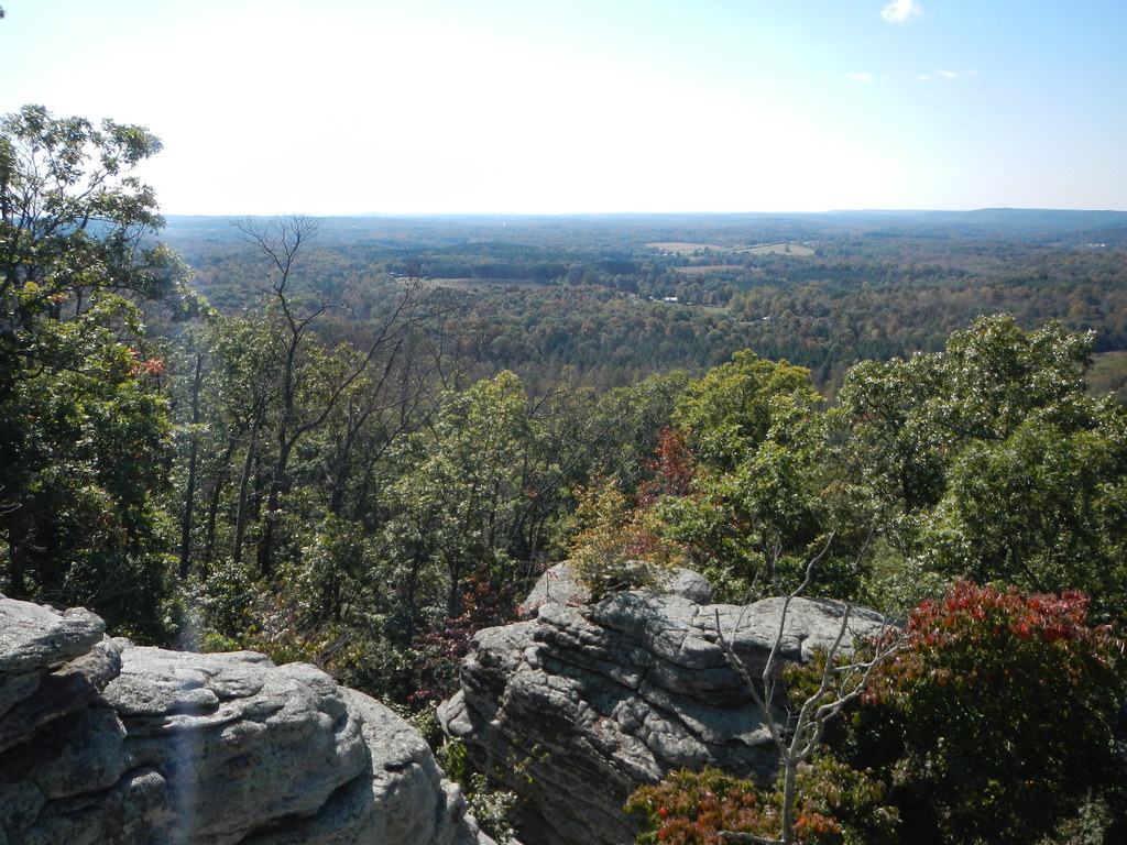 Buzzard HollowHikingPhoto: Curtis Abert, CC BY 2.0 (via Flickr)~2 min drive
 Pounds RidgeHikingPhoto: Curtis Abert, CC BY 2.0 (via Flickr)~8 min drive
- County Line TrailHiking~4 min drive
Conditions and forecast
Caution todayAgency alerts are in effect for this areaUSFS · checked 10 h agoDaily highs and lows, wind and the chance of precipitation at Start for the next 7 days, from the Open-Meteo model.
Ask about this place
Questions about Observation Trail: conditions, access, timing. Answers say when something isn't known.
Map and trail data © OpenStreetMap contributors
