
Dry River Campground
Campground
1.5 mi from the trail
 Photo: Bob Linsdell, CC BY 2.0 (via Flickr)
Arethusa Falls Trail is a moderate point-to-point hike of about 1.2 miles in New Hampshire's White Mountain National Forest, within the Saco Ranger District. The trail rises from a low of about 1,262 feet to a high of about 2,096 feet, a total elevation gain of 772 feet. The steepest stretch, with a grade of about 22%, comes at roughly 0.84 miles. Summer is the most comfortable time to go. Typical July averages from the nearby Pinkham Notch weather station run around 75°F for highs and 53°F for lows, and the station sits at nearly the same elevation as the trail's high point. Other trails lie close by. Arethusa Falls is about half a mile away and Frankenstein Cliff Trail about 0.6 miles. Climbers can head to Ethan & Abel Slabs, about 1.2 miles off, and Ethan Pond Shelter offers camping roughly 2.8 miles away.
Where it is: Saco Ranger District · White Mountain National Forest
Near: Bartlett
Best months: September. Best months have typical highs of 55–85 °F, lows of 30 °F or warmer (32 °F where the station doesn't record snow), at most one snowy day and no more than 12 wet days.
Jan
26°
6°
14 wet
Feb
28°
7°
13 wet
Mar
36°
15°
14 wet
Apr
49°
27°
13 wet
May
62°
39°
15 wet
Jun
70°
48°
14 wet
Jul
75°
53°
14 wet
Aug
74°
52°
13 wet
Sep
68°
45°
12 wet
Oct
54°
35°
14 wet
Nov
42°
24°
14 wet
Dec
31°
14°
16 wet
Typical high / low (°F) and days with rain or snow, 1991–2020. Measured at Pinkham Notch, NH, 10.2 mi away at 2,025 ft. This station doesn't record snowfall. Source: NOAA NCEI U.S. Climate Normals 1991–2020.
Been here? Tell people how it was.
Arethusa FallsHikingPhoto: Bob Linsdell, CC BY 2.0 (via Flickr)0.5 mi Frankenstein Cliff TrailHikingPhoto: Bob Linsdell, CC BY 2.0 (via Flickr)0.6 mi
 Ethan & Abel SlabsRock climbingPhoto: Bob Linsdell, CC BY 3.0 (via Wikimedia Commons)1.2 mi
 Omni Mount Washington Resort, Bretton WoodsLake fishing8.5 miArethusa FallsHikingPhoto: Bob Linsdell, CC BY 2.0 (via Flickr)Next doorFrankenstein Cliff TrailHikingPhoto: Bob Linsdell, CC BY 2.0 (via Flickr)Next door
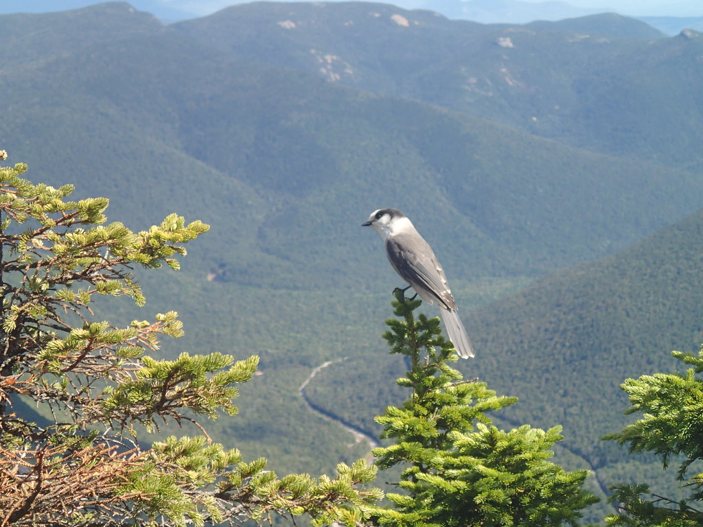 ETHAN POND TRAILHikingPhoto: Northfoot Adventures, CC BY 2.0 (via Flickr)~4 min drive
 Webster-Jackson TrailHikingPhoto: Ktr101, CC BY-SA 2.0 (via Flickr)~6 min driveBemis Brook TrailHikingPhoto: Bob Linsdell, CC BY 2.0 (via Flickr)~1 min drive
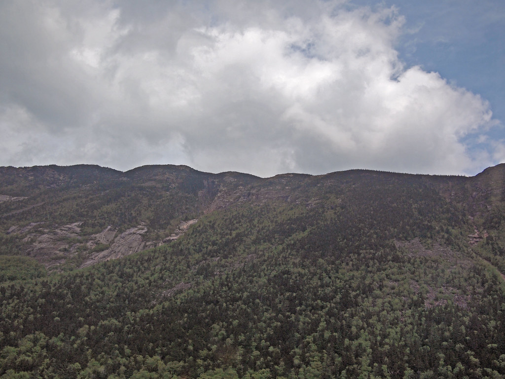 Arethusa-Ripley Falls TrailHikingPhoto: rickpilot_2000, CC BY 2.0 (via Flickr)~2 min drive
 Carrigain Notch TrailHikingPhoto: timsackton, CC BY-SA 2.0 (via Flickr)~6 min driveSaco River TrailHikingPhoto: rickpilot_2000, CC BY 2.0 (via Flickr)~3 min drive
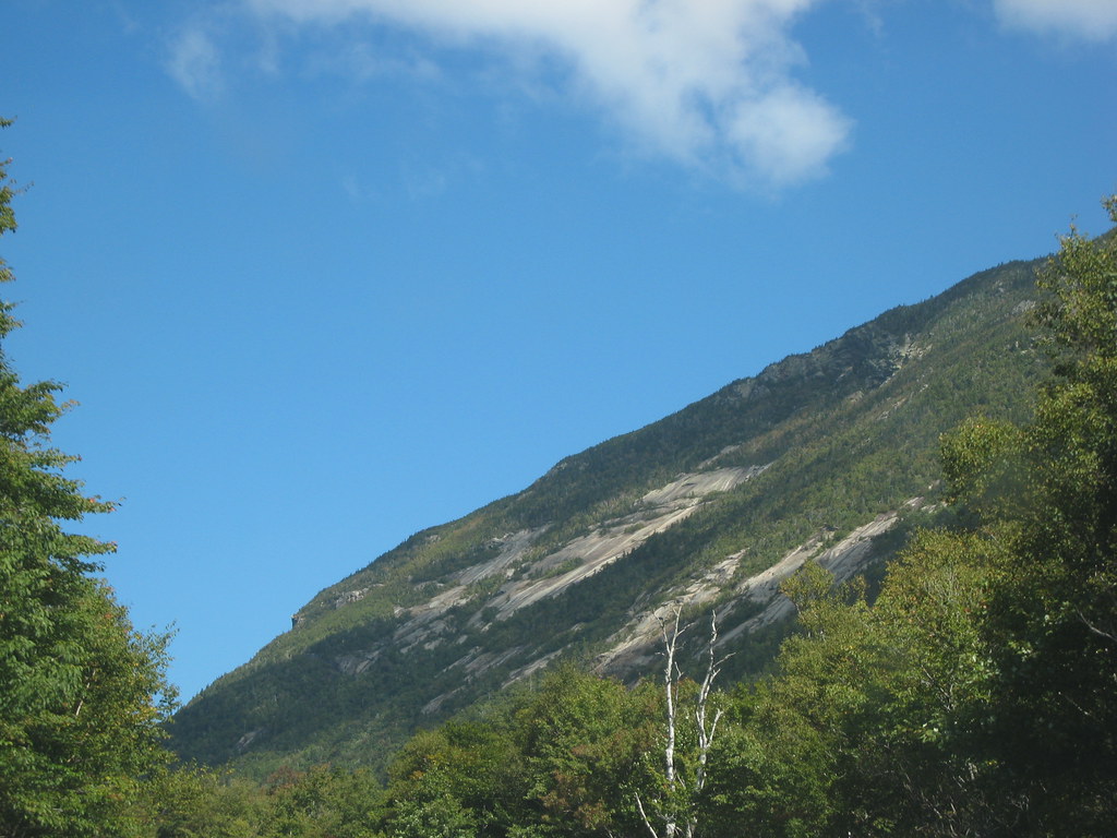 Westside TrailHikingPhoto: msprague, CC BY-SA 2.0 (via Flickr)~3 min drive
 A-ZHikingPhoto: Cliff from Arlington, Virginia, USA, CC BY 2.0 (via Wikimedia Commons)~8 min drive
Daily highs and lows, wind and the chance of precipitation at Start for the next 7 days, from the Open-Meteo model.
Questions about Arethusa Falls Trail: conditions, access, timing. Answers say when something isn't known.
Dry River Campground
Campground
 If it rainsKen Gallager, CC BY-SA 4.0 · Wikimedia Commons
Places © OpenStreetMap contributors, Places © Overture Maps Foundation · Photos: Ken Gallager, CC BY-SA 4.0 (commons)
More in North ConwayMap and trail data © OpenStreetMap contributors
