Buckeye Trail (Akron)
At a glance
The Buckeye Trail (Akron) is a 57-mile point-to-point hike in Ohio, running through the Canal Corridor on city land. It is a hard route, with a total elevation gain of 2,419 feet and a back-loaded climb profile that peaks at about 1,020 feet. The trail starts at roughly 956 feet and ends at about 638 feet, with the most significant climb coming in the second half. Bikes and horses are not allowed. Late spring and early fall are the most comfortable times to go. Typical averages from a nearby weather station show May highs around 72°F and September highs around 76°F, with July the warmest month at about 84°F. Newman Creek, a canoeing spot, is about 5.5 miles away. Turkeyfoot Lake, a lake fishing area, is about 8.5 miles off, and the Sippo Valley Trail is about 8.8 miles away.
- one way
- 57.4 mi
- climb
- 2,419 ft
- high point
- 1,020 ft
- route
- Point to point
- time
- About 20 hours
- best months
- Jun–Oct
Where it is: Canal Corridor
Near: Massillon
Best time to visit Buckeye Trail (Akron)
Best months: June–October. Best months have typical highs of 55–85 °F, lows of 30 °F or warmer (32 °F where the station doesn't record snow), at most one snowy day and no more than 12 wet days.
Jan
36°
20°
17 wet
Feb
39°
22°
15 wet
Mar
48°
29°
15 wet
Apr
62°
40°
14 wet
May
72°
50°
14 wet
Jun
80°
59°
12 wet
Jul
84°
63°
12 wet
Aug
83°
62°
10 wet
Sep
76°
55°
10 wet
Oct
63°
44°
12 wet
Nov
51°
34°
13 wet
Dec
40°
26°
16 wet
Typical high / low (°F) and days with rain or snow, 1991–2020. Measured at Akron Canton Rgnl Ap, OH, 7.1 mi away at 1,208 ft. This station doesn't record snowfall. Source: NOAA NCEI U.S. Climate Normals 1991–2020.
Been here? Tell people how it was.
 Seneca TrailHikingPhoto: RuggyBearLA, CC BY-SA 2.0 (via Flickr)~35 min drive
- Sippo Valley TrailHiking~15 min drive
- Nuthatch TrailHikingPhoto: RuggyBearLA, CC BY-SA 2.0 (via Flickr)~35 min drive
- Buckeye Trail (Mogadore)Hiking~23 min drive
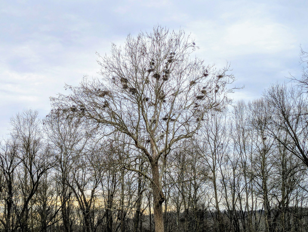 Adam Run TrailHikingPhoto: david_e_waldron, Public Domain Dedication (CC0) (via Flickr)~38 min drive
- Buckeye Trail (Massillon)Hiking~34 min drive
 Deer Run TrailHikingPhoto: ShanMcG213, CC BY-SA 2.0 (via Flickr)~39 min drive
 Indigo LakeHikingPhoto: david_e_waldron, Public Domain Dedication (CC0) (via Flickr)~41 min drive
 Valley Bridle TrailHikingPhoto: david_e_waldron, Public Domain Dedication (CC0) (via Flickr)~43 min drive
 Riding Run TrailHikingPhoto: RuggyBearLA, CC BY 2.0 (via Flickr)~43 min drive
Conditions and forecast
Daily highs and lows, wind and the chance of precipitation at Start for the next 7 days, from the Open-Meteo model.

Ask about this place
Questions about Buckeye Trail (Akron): conditions, access, timing. Answers say when something isn't known.
Local outfitters
- Mohican Adventures41 mi away
Not on Roamze yet. Their page has how to reach them.
Map and trail data © OpenStreetMap contributors
