
Crawford Path
New Hampshire
Free — you'll pick up right here.
3.8 mi
Distance
1,545 ft
Gain
1h 53m
Time
No verdict for this trail
We won't guess. Here is exactly what we do and don't know.
What we do know
Inside Appalachian National Scenic Trail
3 managing-area boundaries mapped — agency alerts for them feed this page automatically.
Boundary data
What's missing
No access route mapped
We don't yet know which road reaches this trailhead, so we can't tell you if it's gated.
Nobody's filed a report here yet — be the first.
Why you'll love it
Here's your day, mapped
Crawford Path
Suggested plan · check conditions before you go
Meals
Gear for the day
Elevation & route
- Distance
- 3.8 mi
- Elevation gain
- 1,545 ft
- Elevation loss
- 1,161 ft
- Highest point
- 4,247 ft
- Lowest point
- 1,884 ft
Photos
Directions & GPX
Permits & access
- Managing agency
- Forest Service
About this trail
The Crawford Path is a historic point-to-point trail that ascends through the scenic Presidential Range in New Hampshire's White Mountains. This classic route climbs steadily through mixed forest and alpine terrain, offering hikers access to some of the region's most iconic peaks and commanding views of the surrounding mountain landscape.
Facts about this trail
The climb
- High point
- 4,247 ft
- Total climbing
- 1,545 ft
- Total descent
- 1,161 ft
- Length
- 3.8 mi
- Shape
- Point to point
Most of the climbing comes late, so save something for the end.
Source: Roamze elevation profile and trail geometry (DEM samples along the mapped route)
Where it is
- Pemigewasset Ranger District · Ranger district
- Appalachian National Scenic Trail · National Park Service
- White Mountain National Forest · National forest
- Managed by
- Forest Service
Source: USFS EDW boundaries; NPS Land Resources boundaries; USGS PAD-US 4.1
Conditions
Active alerts for Pemigewasset Ranger District as of Oct 9, 2026:
Rattlesnake Fire – Pemigewasset Ranger District
fire-restriction · posted Aug 27, 2026
Source: USFS forest alerts
Nearby
- Nauman TentsiteCamping0.6 mi
- Dry RiverHiking0.8 mi
- Mt Eisenhower LoopHiking1 mi
- Mizpah Cut-OffHiking1 mi
- Gulley No.1 ButtressRock climbing2.2 mi
- Elephant's HeadRock climbing2.3 mi
- Hermit Lake ComplexCamping4.5 mi
- Omni Mount Washington Resort, Bretton WoodsLake fishing5.2 mi
Source: Roamze catalog (indexable pages within 10 miles, PostGIS distance)
Add to a trip & share
Keep exploring — more trails worth the drive
Photo: Ktr101, CC BY-SA 2.0 (via Flickr)Dry River
~1 min drive
1.51-mile point-to-point trail in New Hampshire with 805 ft elevation loss
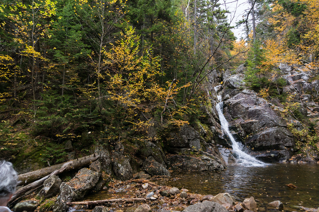 Photo: alans1948, CC BY 2.0 (via Flickr)
Crawford Cliff
~3 min drive
Crawford Cliff is a 0.66-mile out-and-back trail in New Hampshire with 276 feet of elevation gain.
 Photo: Ktr101, CC BY-SA 2.0 (via Flickr)
Avalon
~4 min drive
4.89-mile out-and-back trail in New Hampshire with 2,419 ft elevation gain.
 Photo: Ktr101, CC BY-SA 2.0 (via Flickr)
Webster-Jackson Trail
~4 min drive
Point-to-point alpine hike connecting two Presidential Range peaks with expansive views.
Photo: Ktr101, CC BY-SA 2.0 (via Flickr)CRAWFORD PATH
~0 min drive
14.74-mile out-and-back trail in New Hampshire with 5,591 ft gain/loss.
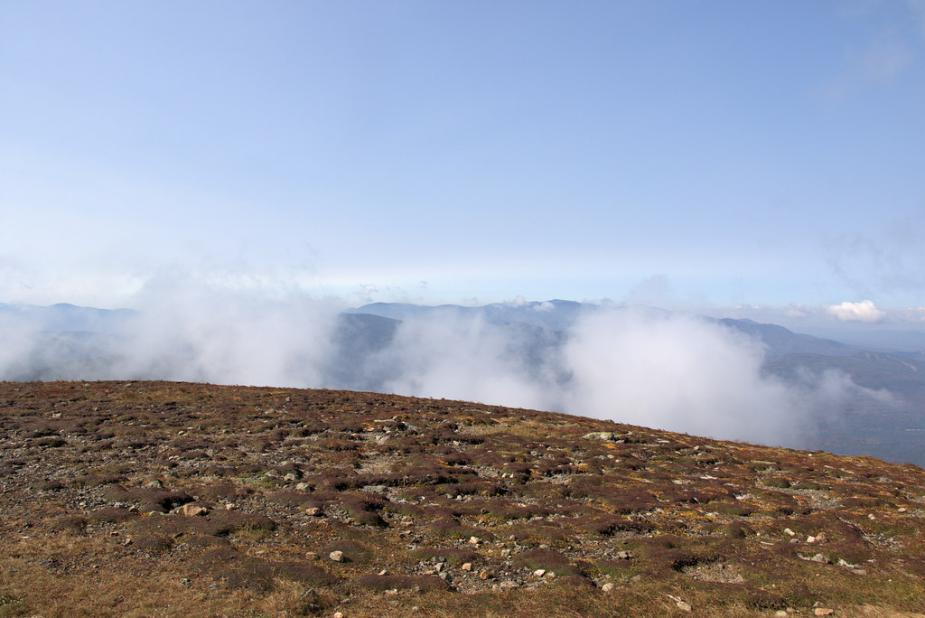 Photo: Ktr101, CC BY-SA 2.0 (via Flickr)
Mt Eisenhower Loop
~2 min drive
1.25-mile out-and-back trail in New Hampshire with 405 ft elevation gain.
Photo: Ktr101, CC BY-SA 2.0 (via Flickr)Crawford Connector
~4 min drive
Crawford Connector is a 0.62-mile out-and-back trail in New Hampshire with 166 feet of elevation gain.
Photo: Ktr101, CC BY-SA 2.0 (via Flickr)Webster Cliff Trail
~4 min drive
2.71-mile out-and-back hike to Webster Cliff in New Hampshire with 964 ft gain.
 Photo: Cliff from Arlington, Virginia, USA, CC BY 2.0 (via Wikimedia Commons)
A-Z
~6 min drive
6.79-mile out-and-back trail in New Hampshire with 1,219 ft gain.
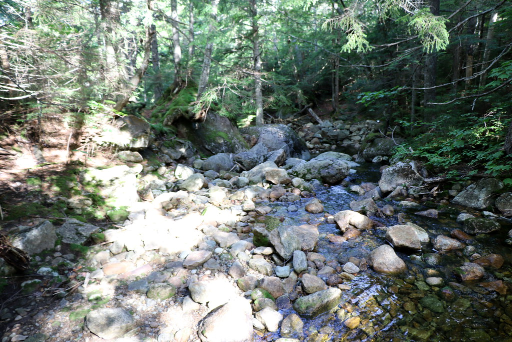 Photo: Ktr101, CC BY-SA 2.0 (via Flickr)
Mizpah Cut-Off
~2 min drive
1.40-mile out-and-back trail in New Hampshire with 410 ft gain.

Map and trail data © OpenStreetMap contributors
