Estabrook Concord-Carlisle
At a glance
Estabrook Concord-Carlisle is a short, easy hike in Massachusetts, set on city land within the Punktasset area. The route is a point-to-point walk of about 4.9 miles, with a low point of 134 feet and a high of 236 feet. The climb is gentle, with the steepest stretch at about 0.14 miles in, where the grade reaches 8 percent. The most comfortable months for a visit are late spring through early fall. Typical averages from a nearby weather station in Bedford run from highs around 70°F in May to about 74°F in September, with July the warmest at 84°F. Winter brings regular snow, with highs in the mid-30s and lows near 18°F in January. The Punkatasset Estabrook Loop lies just 0.1 mile away, and the Great Meadows Bird Observer Trail and Old Manse Trail are each about a mile off. Climbers can head to Area 69, Bedford, MA, roughly 2.2 miles away.
- one way
- 4.9 mi
- climb
- 113 ft
- high point
- 236 ft
- route
- Point to point
- time
- About 1.5 hours
- best months
- Early Apr–late Jun, late Aug–mid-Nov
Where it is: Punktasset
Near: Waltham
Best weeks to go
Early April to late June and late August to mid-November are usually best for hiking here.
Typical highs of 52–80°F and lows of 32°F or warmer in those weeks. Rain falls on about 45% of days at the wettest of them, so plan around showers.
Typical weather: NOAA 1991–2020 normals at Bedford, MA, 3 mi away. Not a forecast.
Typical weather by monthBest time to visit Estabrook Concord-Carlisle
Best months: April–June and September–November. Best months are the ones mostly made of the best weeks for hiking: typical temperatures in its comfortable range, few snowy days and not usually wet, judged with the same limits as our good-day forecasts.
Jan
36°
18°
13 wet · 8 snow
Feb
39°
19°
11 wet · 7 snow
Mar
47°
27°
13 wet · 6 snow
Apr
59°
36°
13 wet · 2 snow
May
70°
46°
13 wet
Jun
78°
55°
12 wet
Jul
84°
61°
11 wet
Aug
82°
60°
10 wet
Sep
74°
52°
10 wet
Oct
62°
40°
11 wet
Nov
51°
31°
12 wet · 2 snow
Dec
41°
23°
13 wet · 6 snow
Typical high / low (°F) and days with rain or snow, 1991–2020. Measured at Bedford, MA, 3.1 mi away at 160 ft. Source: NOAA NCEI U.S. Climate Normals 1991–2020.
Been here? Tell people how it was.
- Punkatasset Estabrook LoopHiking0.1 mi
- Old Manse TrailMountain biking1 mi
- Great Meadows Bird Observer TrailHiking1 mi
- Area 69, Bedford, MARock climbing2.2 mi
- Fort Pond BrookCanoeing5.6 mi
- Foundation BoulderRock climbing6.1 mi
- Willard's WoodsRock climbing6.3 mi
 Shawsheen RiverCanoeingPhoto: John Phelan, CC BY 3.0 (via Wikimedia Commons)7.2 mi
 Egg Rock TrailHikingPhoto: Paul Knight, CC BY-SA 3.0 (via Wikimedia Commons)~3 min drive
- Circuit Trail Bedford (Inner)Hiking~6 min drive
 Barretts Mill LoopHikingPhoto: Massachusetts Dept. of Environmental Protection, CC BY 2.0 (via Flickr)~3 min drive
 Woodhaven TrailsHikingPhoto: kristin from Somerville, MA, CC BY-SA 2.0 (via Wikimedia Commons)~4 min drive
- Marion's TrailHikingPhoto: kristin from Somerville, MA, CC BY-SA 2.0 (via Wikimedia Commons)~4 min drive
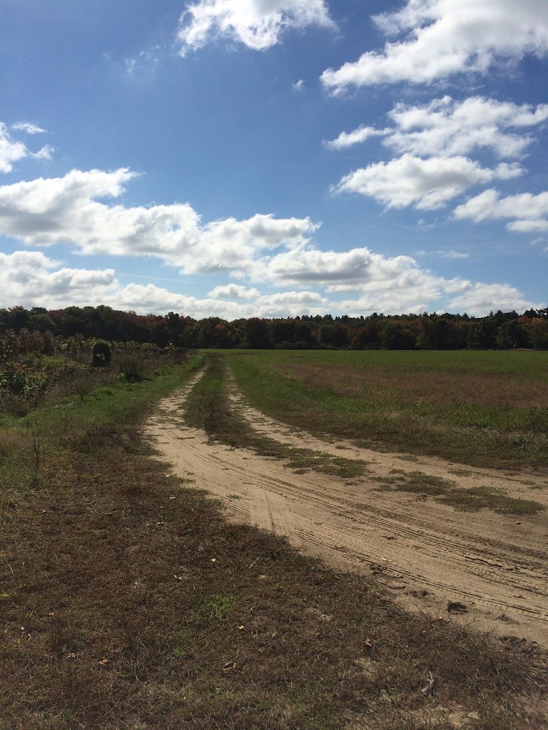 Great Meadows Greenaugh LoopHikingPhoto: Robert Gray - Newton, MA, CC BY 2.0 (via Flickr)~5 min drive
- River TrailHikingPhoto: Robert Gray - Newton, MA, CC BY 2.0 (via Flickr)~5 min drive
- Red-Tail TrailHikingPhoto: Robert Gray - Newton, MA, CC BY 2.0 (via Flickr)~5 min drive
 Jennie Dugan Brook and Hosmer Trail CircuitHikingPhoto: Seth Tisue, CC BY-SA 2.0 (via Flickr)~6 min drive
 Hilltop Loop TrailHikingPhoto: Massachusetts Dept. of Environmental Protection, CC BY 2.0 (via Flickr)~7 min drive
Conditions and forecast
Daily highs and lows, wind and the chance of precipitation at Start for the next 7 days, from the Open-Meteo model.
Ask about this place
Questions about Estabrook Concord-Carlisle: conditions, access, timing. Answers say when something isn't known.
Map and trail data © OpenStreetMap contributors
