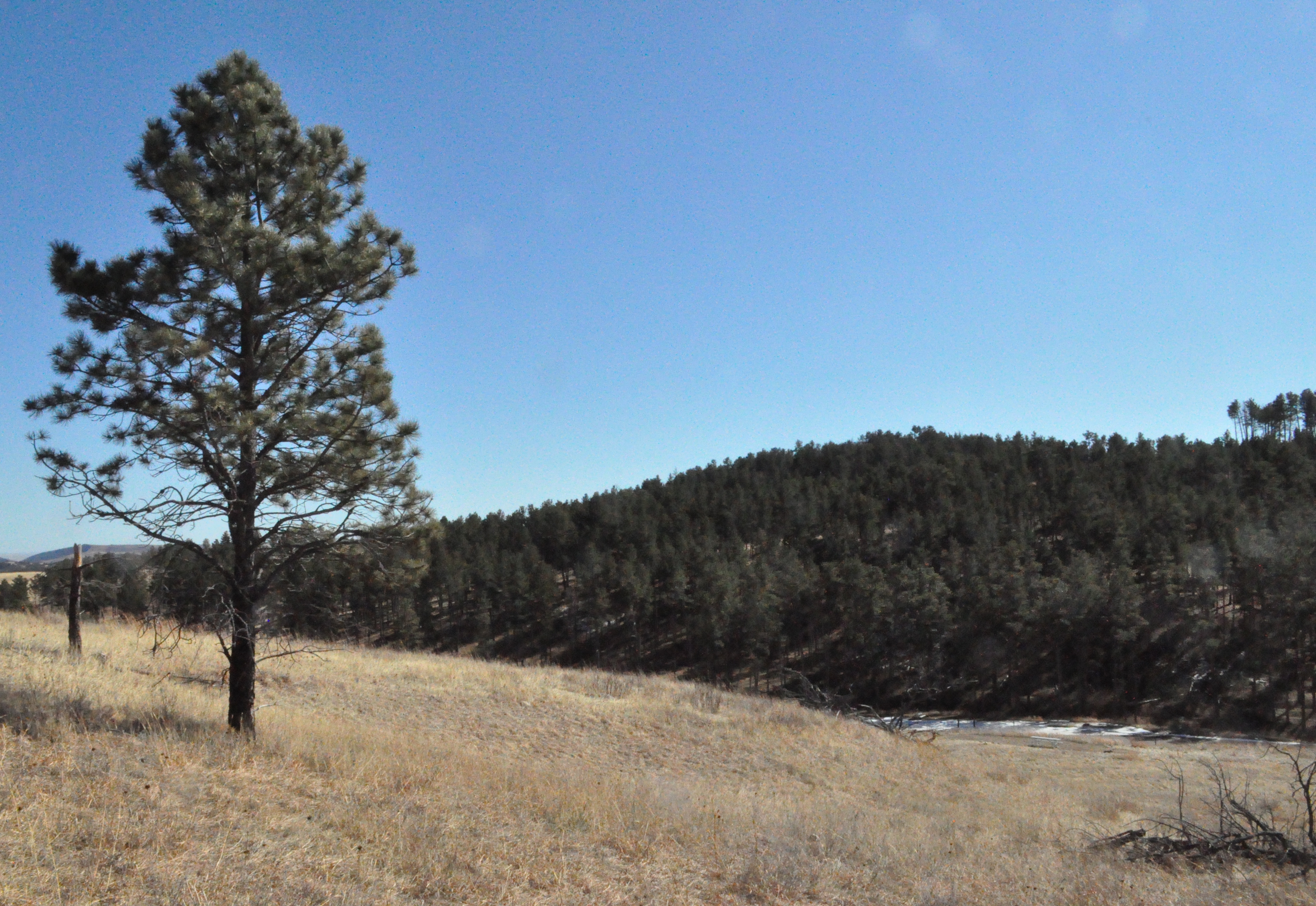

Elk Mountain Campground
Campground
3.9 mi from the trail
 Photo: Magicpiano, CC BY-SA 4.0 (via Wikimedia Commons)
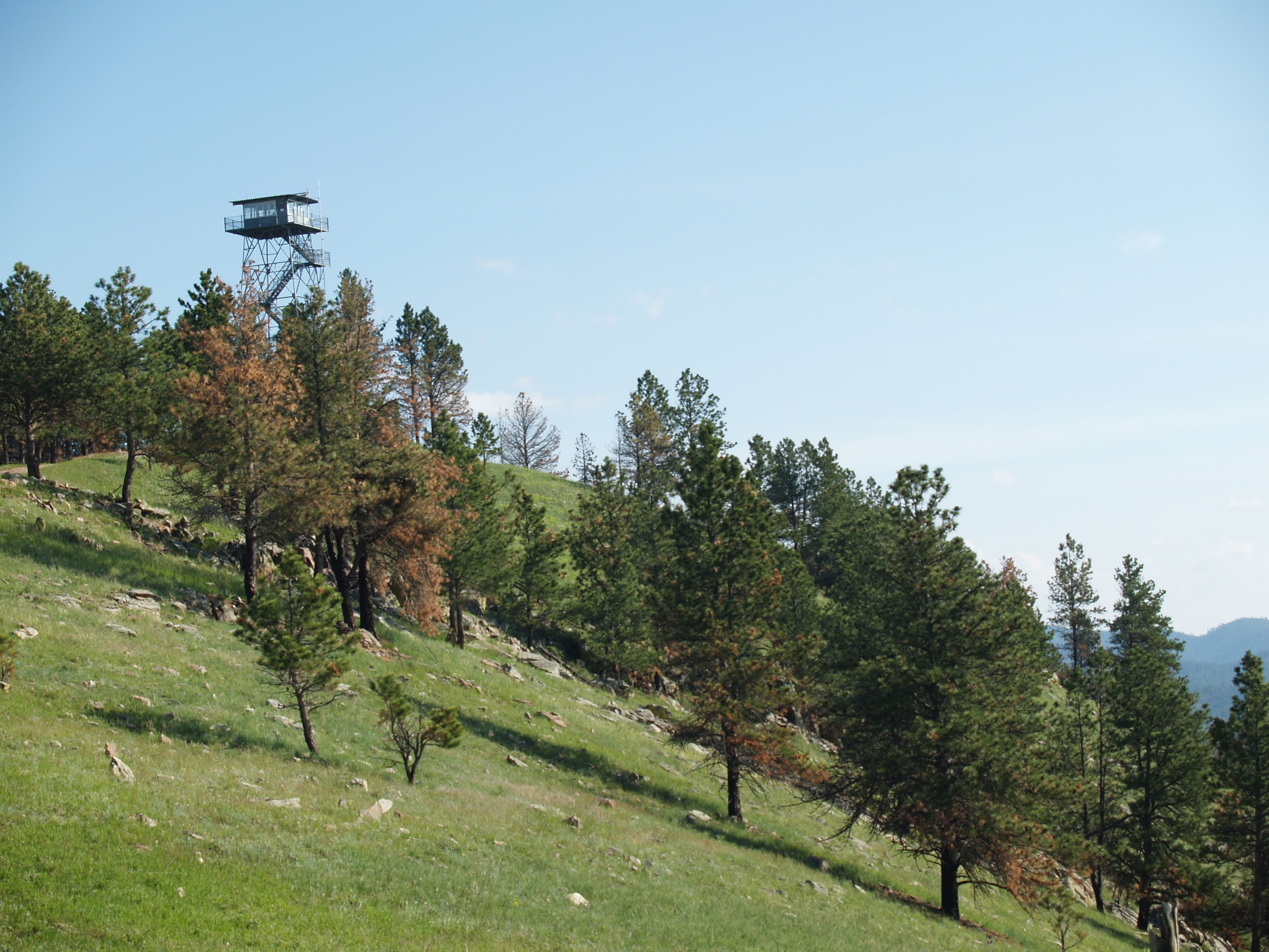
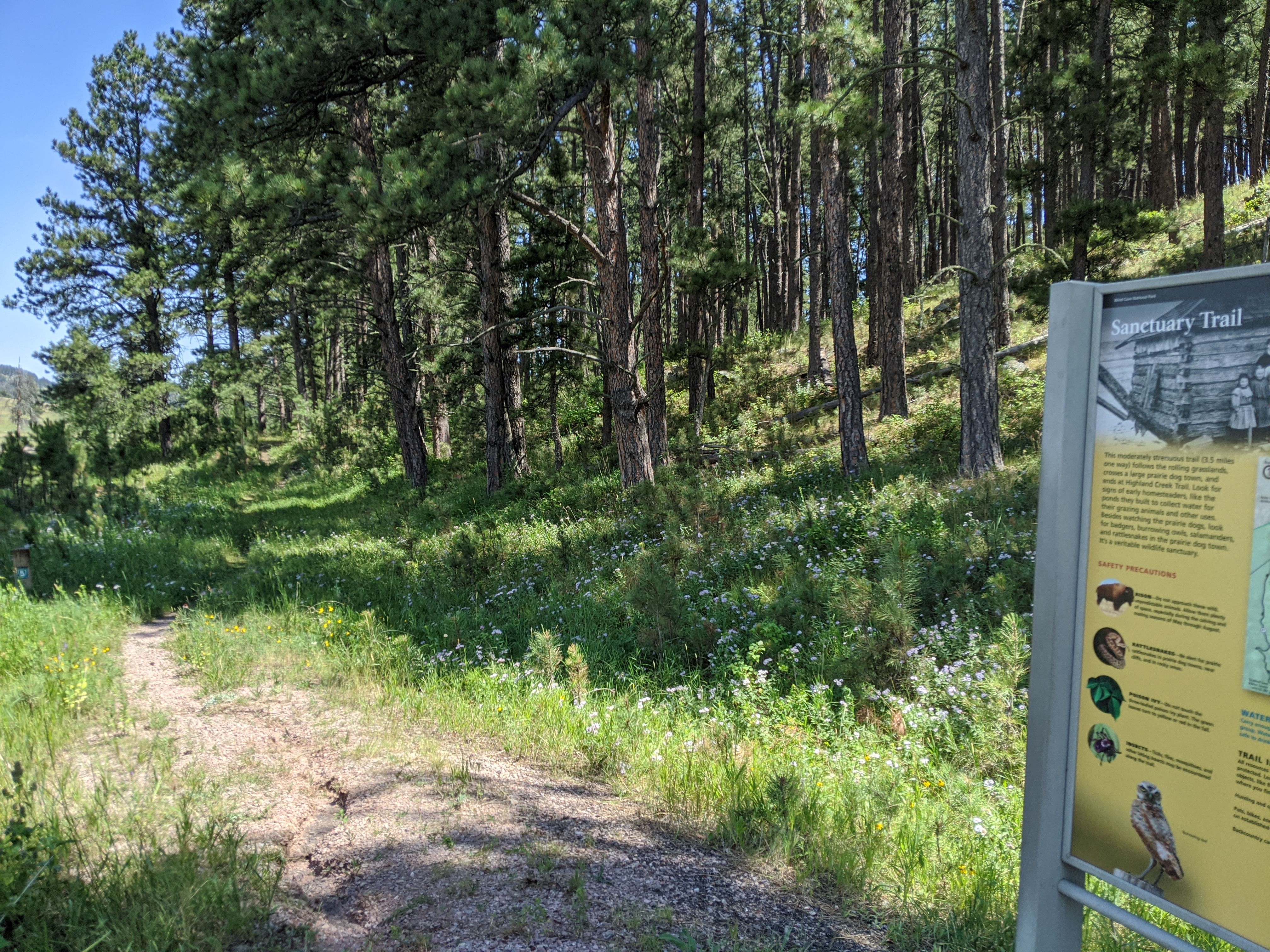
Rankin Ridge Trail is a 1-mile loop in Wind Cave National Park in South Dakota, managed by the National Park Service. The trail is an easy outing, with a total elevation gain of 282 feet and a high point of 4,985 feet. The climb is front-loaded, with the steepest stretch at about 0.35 miles, where the grade reaches 14 percent. The most comfortable months for a visit are typically June and September. Typical averages from a nearby weather station at Wind Cave show June highs around 77°F and September highs around 76°F, with July the warmest month at about 85°F. That station sits roughly 830 feet lower than the trail's high point, so temperatures on the ridge run cooler. The trail takes about half an hour to complete. Rankin Ridge Nature Trail lies just 0.1 mile away, and Sanctuary Trail is about 0.9 mile off. Centennial Trail and Lookout Point Trail are both within about 3 miles.
Where it is: Wind Cave National Park
Near: Custer
Best months: May–October. Best months have typical highs of 55–85 °F, lows of 30 °F or warmer (32 °F where the station doesn't record snow), at most one snowy day and no more than 12 wet days.
Jan
40°
15°
5 wet
Feb
41°
16°
5 wet
Mar
50°
24°
6 wet
Apr
58°
31°
9 wet
May
66°
41°
11 wet
Jun
77°
50°
11 wet
Jul
85°
57°
10 wet
Aug
84°
55°
8 wet
Sep
76°
46°
7 wet
Oct
61°
34°
6 wet
Nov
48°
23°
4 wet
Dec
39°
15°
4 wet
Typical high / low (°F) and days with rain or snow, 1991–2020. Measured at Wind Cave, SD, 4.6 mi away at 4,155 ft. The station sits about 800 ft lower than this place, so expect it a little cooler here. This station doesn't record snowfall. Source: NOAA NCEI U.S. Climate Normals 1991–2020.
Been here? Tell people how it was.
 Legion Lake TrailHikingPhoto: Jennifer L. Sovanski from United States of America. Cropped and color-corrected by Daniel Case prior to upload, CC BY 2.0 (via Wikimedia Commons)~18 min drive
 Lovers' Leap TrailHikingPhoto: inkknife_2000 (7.5 million views +), CC BY-SA 2.0 (via Wikimedia Commons)~19 min drive
Daily highs and lows, wind and the chance of precipitation at Start for the next 7 days, from the Open-Meteo model.
Questions about Rankin Ridge Trail: conditions, access, timing. Answers say when something isn't known.
Elk Mountain Campground
Campground
The Blue Bell Lodge
Restaurant
Bo The Bison
Attraction
Places © OpenStreetMap contributors
More in CusterMap and trail data © OpenStreetMap contributors
