French Creek Horse Cg
Campground
Campground · 4.4 mi from the trail
Clear today
Weather is good · OpenWeather · checked just now
Prairie Trail Loop is an easy hike in Custer State Park in South Dakota, managed by State Park and Recreation. The loop is about 2 miles long, with a total elevation gain of 508 feet. It starts and ends at roughly the same elevation, about 4,130 feet, and the steepest stretch comes around mile 1.6, where the grade reaches about 19%. Summer is the most comfortable time to visit. Typical averages from a nearby weather station at Wind Cave put July highs around 85°F with lows near 57°F, while September cools to highs near 76°F. Winters are cold, with January highs around 40°F. The hike takes about an hour. It pairs easily with other trails in the park, such as the Centennial Trail at about 2.4 miles and the Highland Creek Trail at about 2.5 miles. Climbers can head to the Southern Black Hills area, about 7.4 miles away, and anglers can try Stockade Lake, about 9.2 miles away.
French Creek Horse Cg
Campground
The Blue Bell Lodge
Restaurant
Bo The Bison
Attraction
Places © OpenStreetMap contributors
More in Custer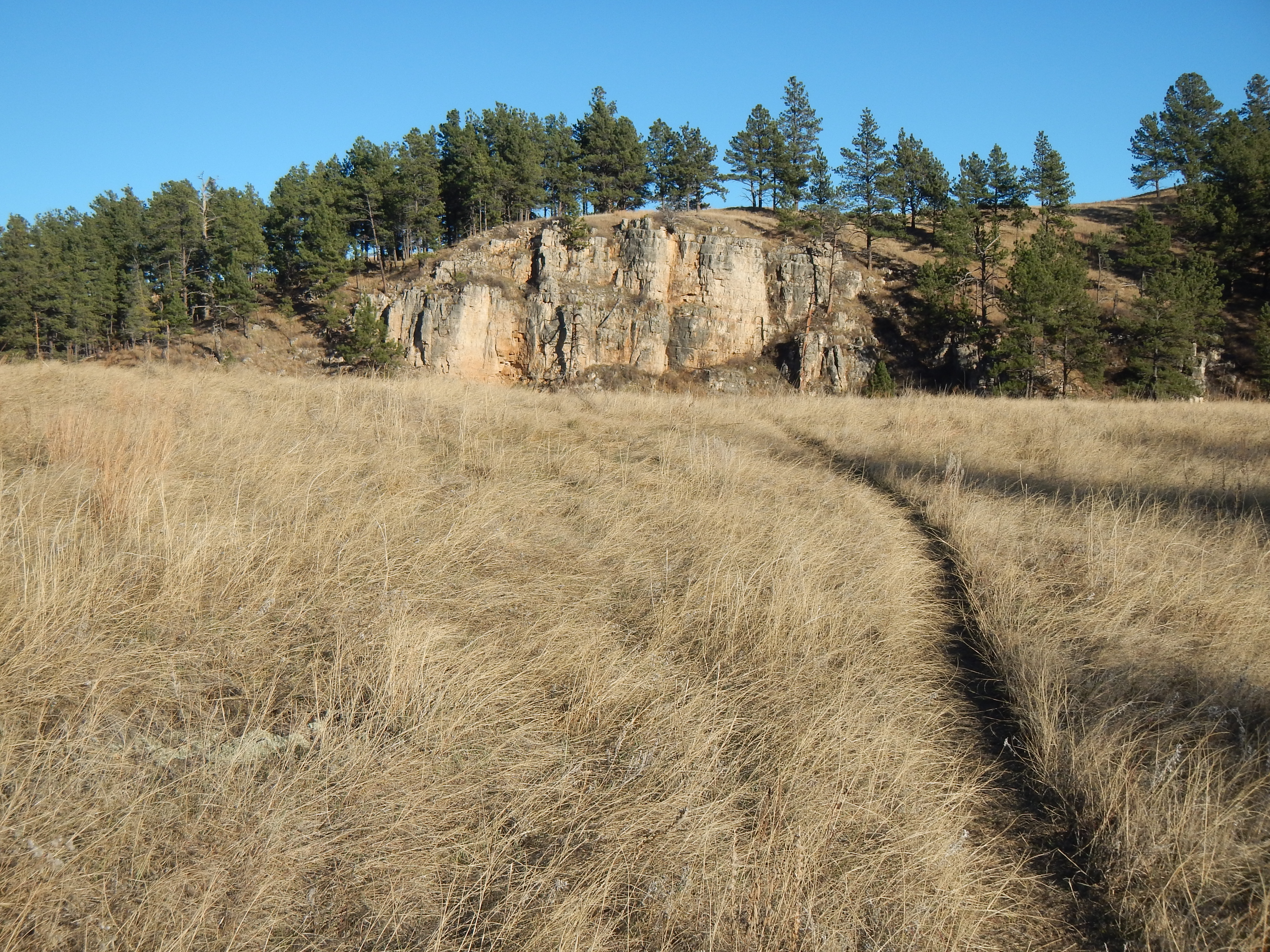 Centennial TrailHiking2.4 mi
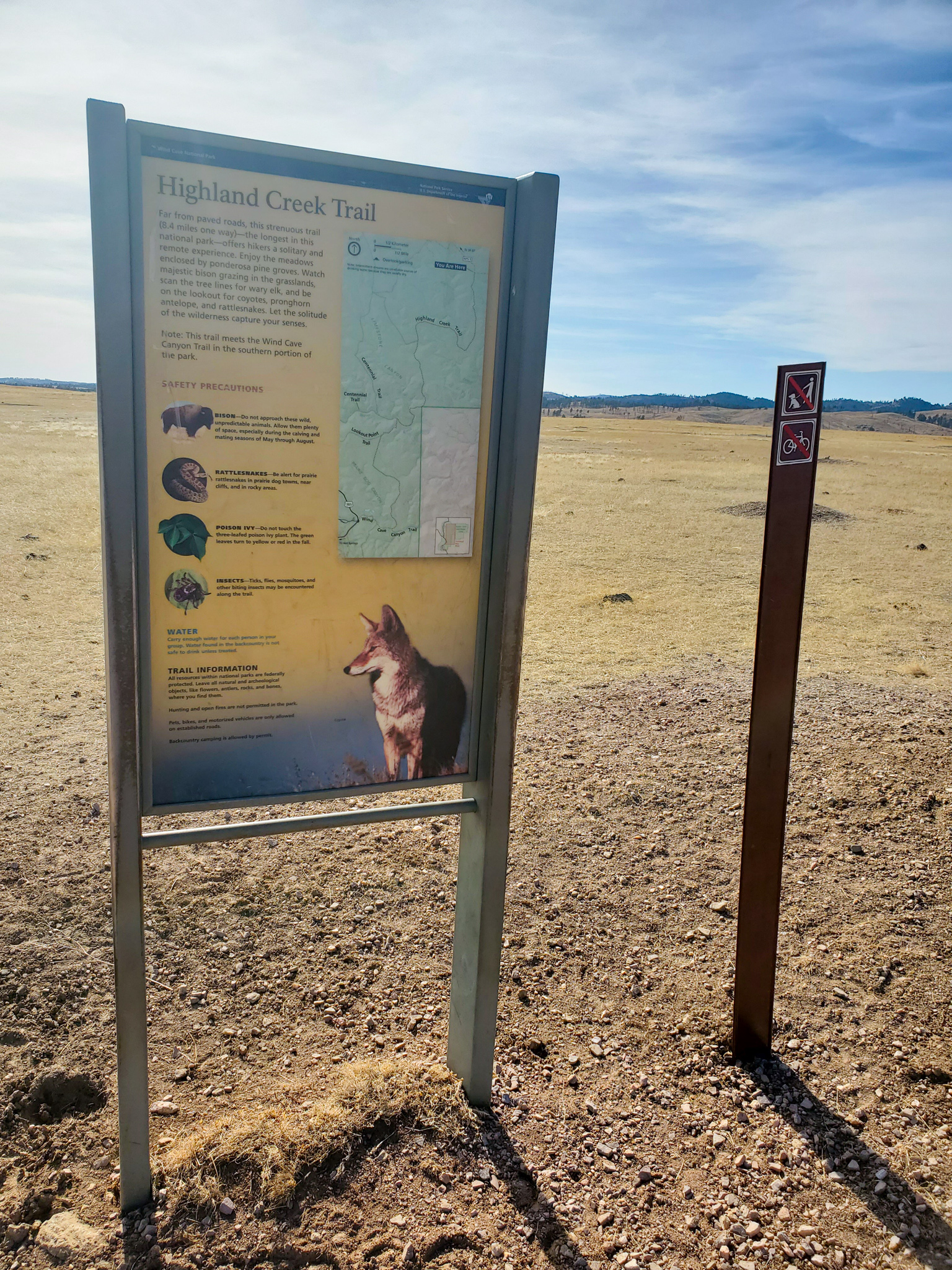 Highland Creek TrailHiking2.5 mi
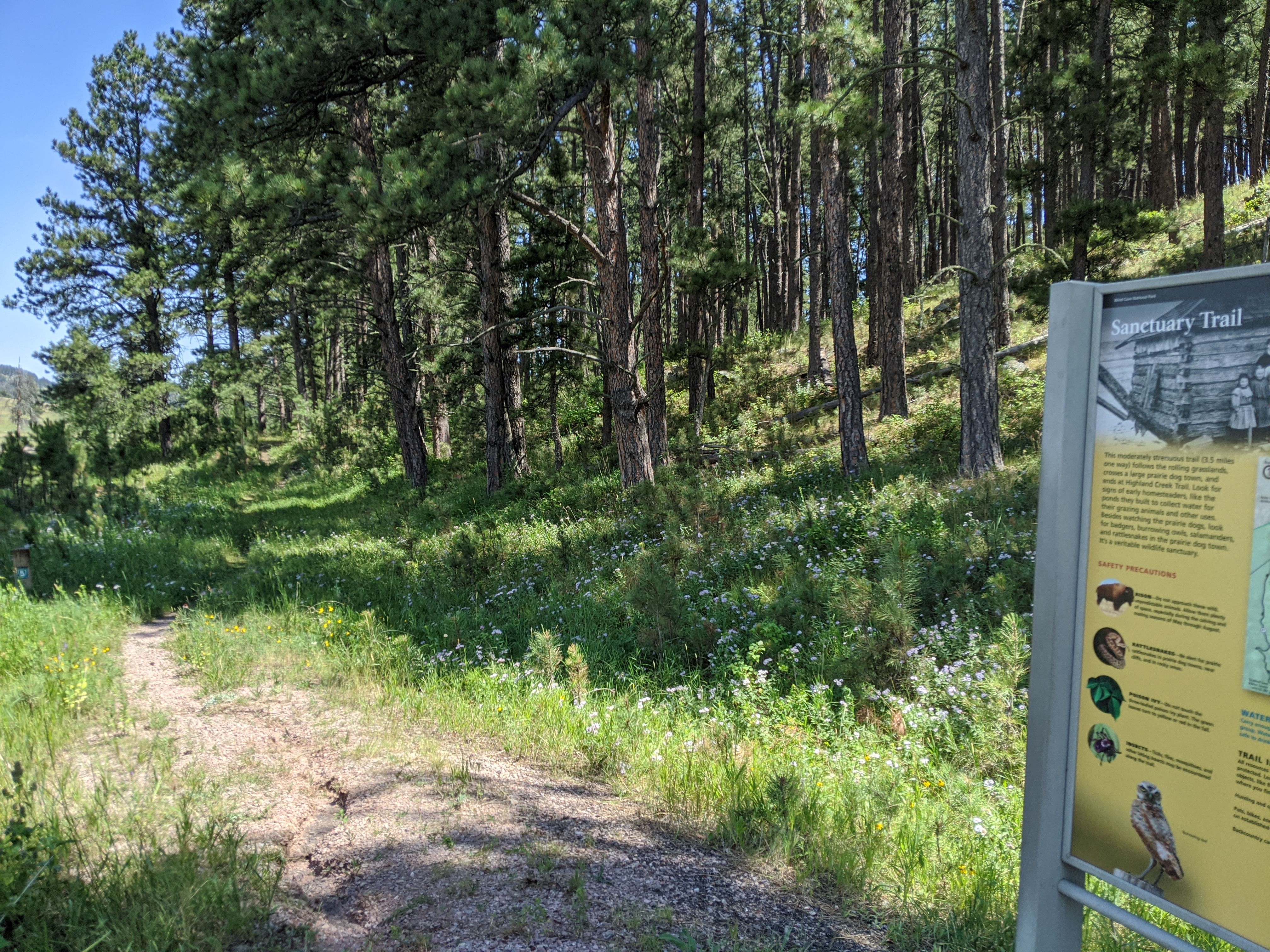 Sanctuary TrailHiking3.8 mi
Source: Roamze catalog (indexable pages within 10 miles, PostGIS distance)
 Rankin Ridge TrailHiking · ~7 min drivePhoto: Magicpiano, CC BY-SA 4.0 (via Wikimedia Commons)
 Lovers' Leap TrailHiking · ~13 min drivePhoto: inkknife_2000 (7.5 million views +), CC BY-SA 2.0 (via Wikimedia Commons)
Best months: May–October. Best months have typical highs of 55–85 °F, lows of 30 °F or warmer (32 °F where the station doesn't record snow), at most one snowy day and no more than 12 wet days.
Jan
40° / 15°
5 wet
Feb
41° / 16°
5 wet
Mar
50° / 24°
6 wet
Apr
58° / 31°
9 wet
May
66° / 41°
11 wet
Jun
77° / 50°
11 wet
Jul
85° / 57°
10 wet
Aug
84° / 55°
8 wet
Sep
76° / 46°
7 wet
Oct
61° / 34°
6 wet
Nov
48° / 23°
4 wet
Dec
39° / 15°
4 wet
Typical high / low (°F) and days with rain or snow, 1991–2020. Measured at Wind Cave, SD, 7.8 mi away at 4,155 ft. This station doesn't record snowfall. Source: NOAA NCEI U.S. Climate Normals 1991–2020.
Map and trail data © OpenStreetMap contributors

