White Birch Trail
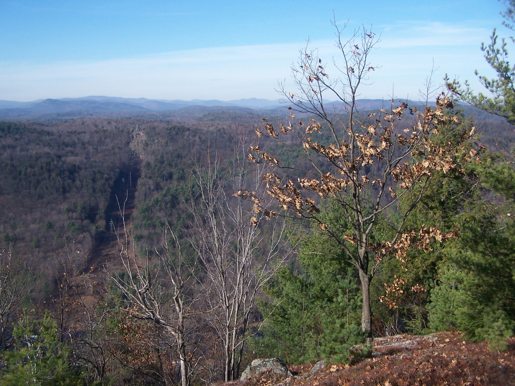 Photo: andyarthur, CC BY 2.0 (via Flickr)
At a glance
White Birch Trail is a short, easy hike in Moreau Lake State Park in New York, managed by State Park and Recreation. The trail is about 0.67 miles long, and the one-way climb is only about 114 feet, with the high point at 1,169 feet and the low at 1,027 feet. The steepest stretch comes at about 0.47 miles in, with a 10% grade. Late spring and early fall are the most comfortable times to go. Typical averages from a nearby weather station at Glens Falls Farm show May highs around 71°F and September highs around 74°F, though that station sits well below the trail, so temperatures on the higher ground run cooler. Several other trails start close by. Eastern Ridge Trail is about 0.3 miles away and High Rock Trail about 0.4 miles. Climbers can head to the Fresh Wall, Spier Falls Area, about 0.6 miles off, and the Waterfall Trail (Blue) is about 0.7 miles away.
- one way
- 0.7 mi
- climb
- 114 ft
- high point
- 1,169 ft
- route
- Point to point
- time
- About 15 minutes
- best months
- Mid-Apr–mid-Jun, late Aug–late Oct
Where it is: Moreau Lake State Park
Near: Glens Falls
Best weeks to go
Mid-April to mid-June and late August to late October are usually best for hiking here.
Typical highs of 57–79°F and lows of 31°F or warmer in those weeks. Rain falls on about 40% of days at the wettest of them, so plan around showers.
Typical weather: NOAA 1991–2020 normals at Glens Falls Farm, NY, 8 mi away. Not a forecast.
Typical weather by monthBest time to visit White Birch Trail
Best months: April–June and September–October. Best months are the ones mostly made of the best weeks for hiking: typical temperatures in its comfortable range, few snowy days and not usually wet, judged with the same limits as our good-day forecasts.
Jan
31°
6°
10 wet
Feb
34°
7°
8 wet
Mar
44°
18°
9 wet
Apr
58°
30°
10 wet
May
71°
42°
11 wet
Jun
79°
52°
11 wet
Jul
84°
57°
10 wet
Aug
82°
54°
9 wet
Sep
74°
46°
9 wet
Oct
60°
35°
10 wet
Nov
48°
24°
9 wet
Dec
37°
14°
10 wet
Typical high / low (°F) and days with rain or snow, 1991–2020. Measured at Glens Falls Farm, NY, 8 mi away at 504 ft. The station sits about 700 ft lower than this place, so expect it a little cooler here. This station doesn't record snowfall. Source: NOAA NCEI U.S. Climate Normals 1991–2020.
Been here? Tell people how it was.
 Eastern Ridge TrailHikingPhoto: Doug Kerr from Albany, NY, United States, CC BY-SA 2.0 (via Wikimedia Commons)0.3 mi
- High Rock TrailHiking0.4 mi
- The Fresh Wall, Spier Falls AreaRock climbing0.6 mi
- Western Ridge TrailHikingPhoto: Doug Kerr from Albany, NY, United States, CC BY-SA 2.0 (via Wikimedia Commons)0.7 mi
- Waterfall Trail (Blue)HikingPhoto: andyarthur, CC BY 2.0 (via Flickr)0.7 mi
- Old TrailHikingPhoto: Doug Kerr from Albany, NY, United States, CC BY-SA 2.0 (via Wikimedia Commons)0.7 mi
- Moreau AreaRock climbing1.8 mi
 Hudson RiverCanoeingPhoto: Dan DeLuca, CC BY 2.0 (via Wikimedia Commons)8 mi
- Eastern Ridge TrailHikingPhoto: Doug Kerr from Albany, NY, United States, CC BY-SA 2.0 (via Wikimedia Commons)Next door
- Western Ridge TrailHikingPhoto: Doug Kerr from Albany, NY, United States, CC BY-SA 2.0 (via Wikimedia Commons)~1 min drive
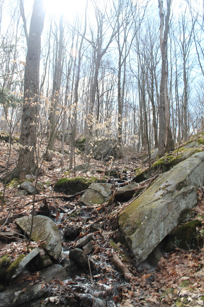 Old Moreau Overlook TrailHikingPhoto: andyarthur, CC BY 2.0 (via Flickr)~3 min drive
- Waterfall Trail (Blue)HikingPhoto: andyarthur, CC BY 2.0 (via Flickr)~1 min drive
- Baker TrailHikingPhoto: andyarthur, CC BY 2.0 (via Flickr)~4 min drive
- Old TrailHikingPhoto: Doug Kerr from Albany, NY, United States, CC BY-SA 2.0 (via Wikimedia Commons)~1 min drive
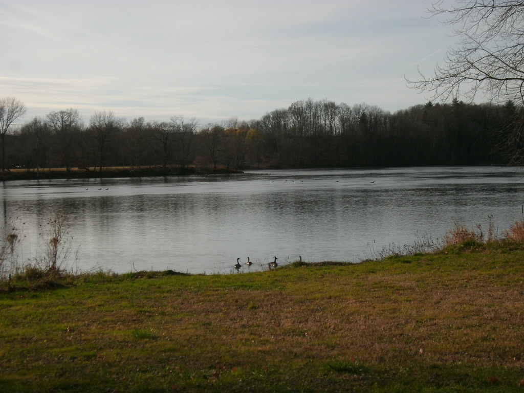 Champlain Valley Trail (Fort Miller to Fort Edward)HikingPhoto: Dougtone, CC BY-SA 2.0 (via Flickr)~16 min drive
 Cottage Park TrailHikingPhoto: andyarthur, CC BY 2.0 (via Flickr)~1 min drive
 Five Mile TrailHikingPhoto: New York Public Library, No restrictions (via Wikimedia Commons)~21 min drive
- Ridge RunHikingPhoto: andyarthur, CC BY 2.0 (via Flickr)~3 min drive
Conditions and forecast
Daily highs and lows, wind and the chance of precipitation at Start for the next 7 days, from the Open-Meteo model.
Ask about this place
Questions about White Birch Trail: conditions, access, timing. Answers say when something isn't known.
Map and trail data © OpenStreetMap contributors
