Camp Round Meadow
Campground
Sites open the weekend of Dec 11 on Recreation.gov
 Photo: beyond_the_sea01, Public Domain Mark (via Flickr)
Hog Rock Nature Trail is a short, easy loop in Catoctin Mountain Park in Maryland, managed by the National Park Service. The trail is about 0.6 miles long, with an elevation gain of about 84 feet on the way up, and the total trip is estimated to take about half an hour. The route starts at an elevation of about 1,645 feet and reaches a high point of about 1,675 feet, with the steepest stretch coming about 0.17 miles in. The climb is gentle, and the trail is a loop, so the return is just as easy as the out. The trail is free to use. Dogs are allowed as long as they are leashed, and bikes and horses are not. It works well as a quick stop before or after time on the Hog Rock climbing area, which sits about a tenth of a mile away. Camp Misty Mount is about 0.7 miles off for anyone planning an overnight stay. For timing, late spring and early fall are the most comfortable seasons. Typical averages from a nearby weather station show May highs around 73°F and September highs around 75°F, with July peaking near 84°F.
Where it is: Catoctin Mountain Park
Near: Thurmont
Late August to early December and mid-March to mid-June are usually best for hiking here.
Typical highs of 45–80°F and lows of 30°F or warmer in those weeks. Rain falls on about 45% of days at the wettest of them, so plan around showers.
Typical weather: NOAA 1991–2020 normals at Catoctin Mtn Park, MD, 1 mi away. Not a forecast.
Typical weather by monthBest months: March–June and September–November. Best months are the ones mostly made of the best weeks for hiking: typical temperatures in its comfortable range, few snowy days and not usually wet, judged with the same limits as our good-day forecasts.
Jan
39°
23°
10 wet
Feb
42°
25°
9 wet
Mar
52°
31°
12 wet
Apr
65°
42°
12 wet
May
73°
52°
14 wet
Jun
80°
60°
12 wet
Jul
84°
65°
12 wet
Aug
81°
63°
12 wet
Sep
75°
58°
11 wet
Oct
65°
46°
11 wet
Nov
53°
36°
11 wet
Dec
43°
28°
10 wet
Typical high / low (°F) and days with rain or snow, 1991–2020. Measured at Catoctin Mtn Park, MD, 1.3 mi away at 1,610 ft. This station doesn't record snowfall. Source: NOAA NCEI U.S. Climate Normals 1991–2020.
Been here? Tell people how it was.
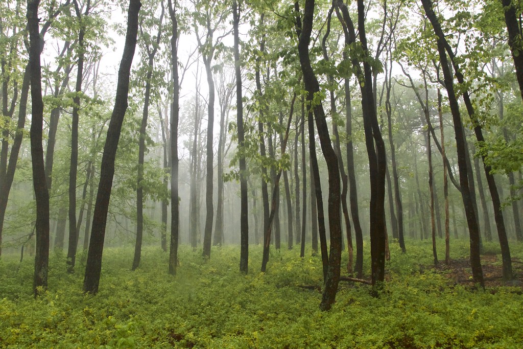 TR-4 Whiskey Still TrailHikingPhoto: beyond_the_sea01, Public Domain Mark (via Flickr)0.7 miTR-4 Whiskey Still TrailHikingPhoto: beyond_the_sea01, Public Domain Mark (via Flickr)~1 min driveTR-5 Blue Ridge Summit TrailHikingPhoto: beyond_the_sea01, Public Domain Mark (via Flickr)~1 min drive
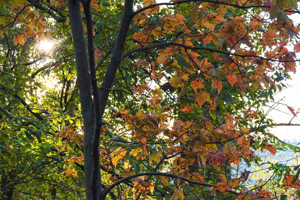 TR-6 Charcoal TrailHikingPhoto: beyond_the_sea01, Public Domain Mark (via Flickr)~1 min drive
 Hog Rock Loop TrailHikingPhoto: John Brighenti, CC BY 2.0 (via Flickr)~1 min drive
 TR-13 Spicebush TrailHikingPhoto: beyond_the_sea01, Public Domain Mark (via Flickr)~2 min driveThurmont Vista OverlookHikingPhoto: beyond_the_sea01, Public Domain Mark (via Flickr)~2 min drive
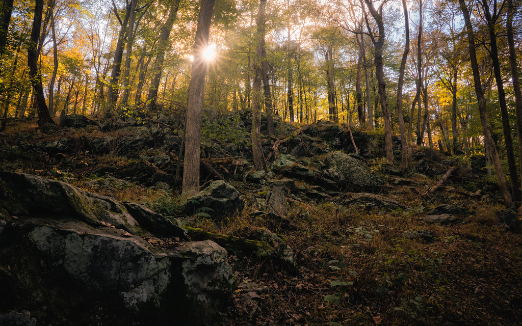 Campground TrailHikingPhoto: John Brighenti, CC BY 2.0 (via Flickr)~2 min driveLower TrailHikingPhoto: John Brighenti, CC BY 2.0 (via Flickr)~2 min drive
Also worth it near here
 Catoctin MountainSummitPhoto: Vegemighty (talk), CC0 (via Wikimedia Commons)Next door
 Chief BlockRock climbingPhoto: Jarek Tuszyński, CC BY 4.0 (via Wikimedia Commons)~1 min drive
 Camp Greentop Historic DistrictCampingPhoto: Acroterion, CC BY-SA 4.0 (via Wikimedia Commons)~2 min drive
Daily highs and lows, wind and the chance of precipitation at Start for the next 7 days, from the Open-Meteo model.
Questions about Hog Rock Nature Trail: conditions, access, timing. Answers say when something isn't known.
Camp Round Meadow
Campground
 If it rainsAcroterion, CC BY-SA 4.0 · Wikimedia Commons
Schifferstadt Architectural Museum
Museum
Places © OpenStreetMap contributors · Photos: Acroterion, CC BY-SA 4.0 (commons)
More in Ballenger CreekNot on Roamze yet. Their page has how to reach them.
Map and trail data © OpenStreetMap contributors
